Allow Me to Introduce Myself
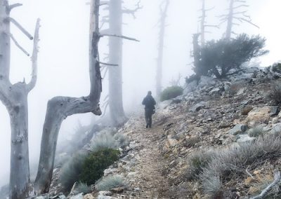
My name is Phillip, and ever since the first time I stepped foot in our local mountains back in 2005, I knew my life would never be the same.
I remember I was 14 when my buddy and his family invited me for a bike ride on the west fork of the San Gabriel River.
I nearly blacked out that day (literally), but I enjoyed every second of it. Ever since then, all I wanted to do was explore the mountains.
My first actual hike happened shortly thereafter, up to the water tower from Chantry Flats on Black Friday. I had never experienced views from a mountain top, so I wanted to see more.
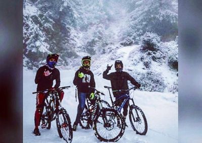
While most people in my college days spent every weekend living the night life, I was either hiking, mountain biking, or snowboarding.
I didn’t care what I was doing as long as it was in the mountains, and if it included danger and/or adrenaline, I was in.
When I learned the Angeles Forest had over 300 abandoned mines and more secret waterfalls than known ones, I nearly lost my marbles. I was inseparable from my beautiful San Gabriels.
I bought books, scoured through maps, and watched every Youtube video I could find in order help me find many of these forgotten gems.

Don’t Hesitate to Reach Out!
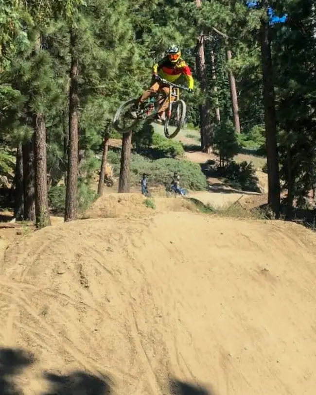
I began by first exploring the San Gabriel, Monrovia, and Santa Anita Canyons, as they were the closest to my parents house, but pretty soon I started branching out towards the San Bernardino Mountains, especially when I got into downhill biking at the Snow Summit bike park.
When I created the instagram account for this page, I had no intention of expanding the project to the point where I’d have a website and so much time invested.
I simply wanted to share a picture every now and then about some of the places where I enjoy hiking.
However, when I saw how people responded to the account, I couldn’t help but to share more of my passion with others.
Nowadays, I have big goals of one day living off of what I love to do most while also educating, reducing trash and graffiti, and working with other amazing leaders who share the same vision.
I hope one day we cross paths so that we can meet in person, but you can also send me an email at [email protected] or via LinkedIn whenever you’d like!
Stay safe out there and may your life be full of outdoor adventures!
Check Out These Hikes!
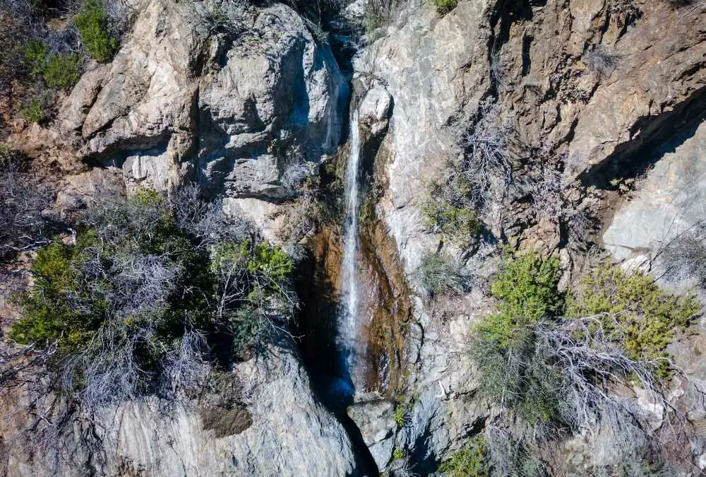
Earthquake Falls: Little Tujunga’s Roadside Secret
Total Miles: 0 Best Season: After Heavy Rainstorms Max Elevation: 2200 ft Parking Lot: Turnouts Fit ≈ 15 cars Dogs: Allowed On A Leash Restrooms: Not Available Pics Taken On: Feb 11, 2024 Earthquake Falls is a roughly 70-foot roadside waterfall located in Santa...
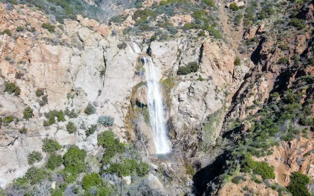
Escondido Falls: Best Malibu Waterfall 150 Ft High
Total Miles: 3.49 Time: 1.5 Hrs Difficulty: Easy Best Season: Spring Elevation Gain: 507 ft Max Elevation: 328 ft Type of Trail: Out & Back Parking Lot: Fits ≈ 15 cars Dogs: Allowed On A Leash Restrooms: 1 Porta Potty At The Parking Lot Trail Popularity: Extremely...

