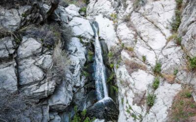
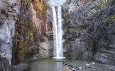
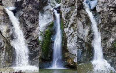
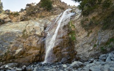
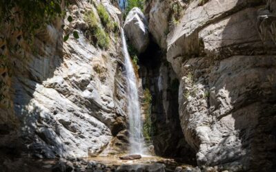
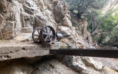
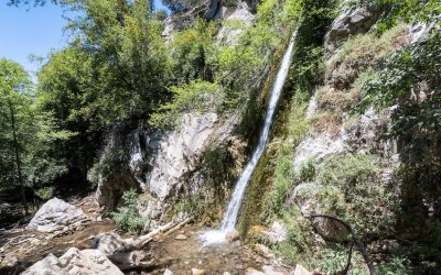
Total Miles: 6 (includes 0.2 mile to falls viewpoint & observatory ruins) Time: 3 Hrs Difficulty: Moderate – Hard Best Season: All Year Elevation Gain: 1566 ft Max Elevation: 3324 ft Type of Trail: Out & Back Parking Lot: Street Parking Dogs: Allowed On A...
[favorite_button]

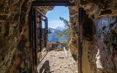
Echo Mountain Hiking Guide: The 8th Wonder Of The World (Closed)
read more