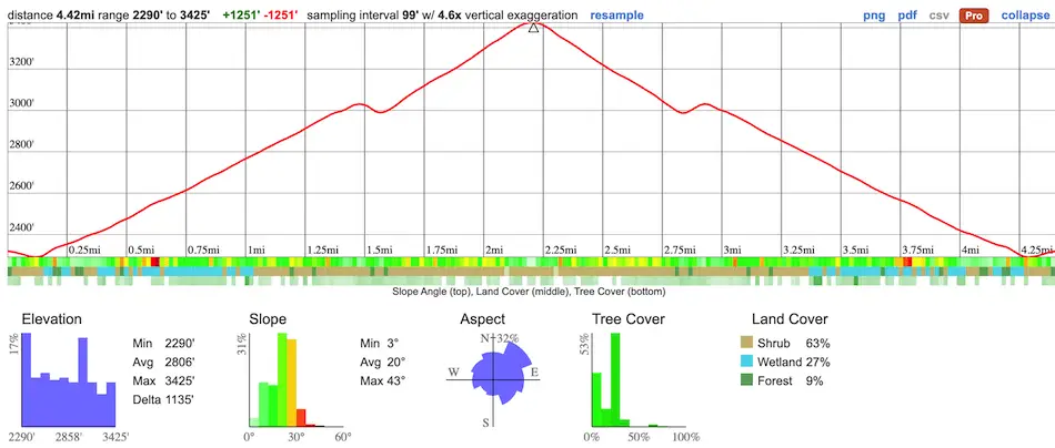
- Total Miles: 4.42
- Time: 2 Hrs
- Difficulty: Easy – Moderate
- Best Season: All Year
- Elevation Gain: 1251 ft
- Max Elevation: 3425 ft
- Type of Trail: Out & Back
- Parking Lot: Turn Out, Fits 10+ Cars
- Dogs: Allowed On A Leash
- Restrooms: Not Available
- Trail Popularity: High
- Pics Taken On: Nov 12, 2023
Unlike most peaks, the view is not the reason most people visit Potato Mountain. No, it’s the potatoes themselves. You read that correctly.
Potato Mountain is located in San Antonio Canyon and is a fairly easy hike consisting entirely of a fire road. Hikers from all over Southern California visit the mountain to drop off their potato, which they’ve taken the time to decorate and/or dress up, at the peak. Potatoes aside, the view includes the Santa Ana Mts, San Jacinto, San Gorgonio, and even as far as Catalina Island if the smog isn’t terrible. For a fire road, there is a decent amount of shade on the trail.
Potato Mountain Trail Map
powered by Advanced iFrame. Get the Pro version on CodeCanyon.
Parking & Directions
Click here to be redirected to the Potato Mountain trailhead via Google Maps.
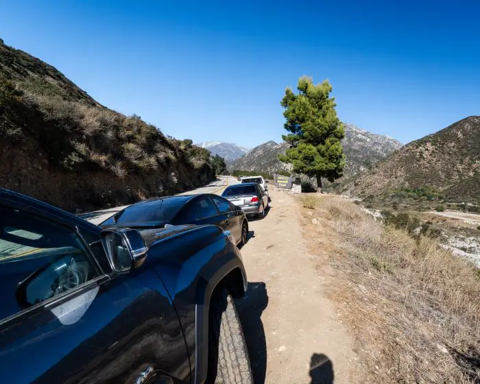
Important Note: Make sure to park in the turnout where the Angeles Forest sign is located (shown below) or any turnout past the sign to avoid a citation. You can find the exact coordinates of the turnout by clicking right here.
Helpful Links
Potato Mountain Weather Forecast
SoCal Adventure Pass (required to park in all SoCal mountains)
Hiking Potato Mountain
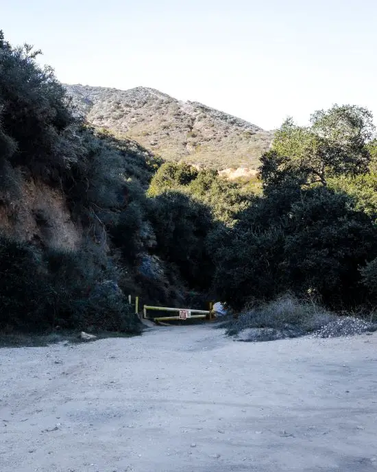
After parking in the same turnout as the Angeles Forest sign to avoid a citation, we made our way back down the road on foot until we spotted the gate located in another large dirt turnout. Do NOT park here or you will be given a ticket and possibly get towed.
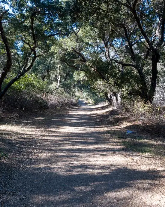
Lots of vegetation adorned the beginning of the hike as we were on the canyon floor. The large oak trees in the image below were particularly stunning.
Since it was the end of November, the trail was covered by the oak’s abundant acorns, a staple food of the Native American tribes that once lived in the area.
Sycamore trees and their vibrant orange/yellow leaves popped out from among their green backdrop. If you’re not sure how to identify plants, it’s best not to touch them.
Poison Oak is also a bright yellow, orange, and red color.
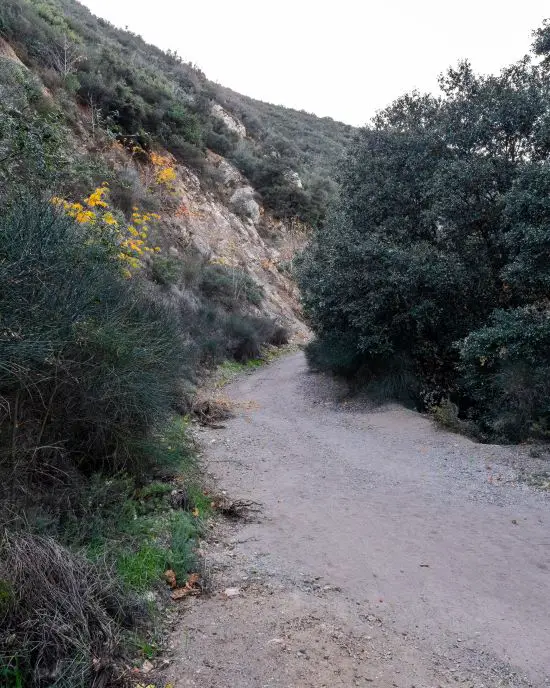
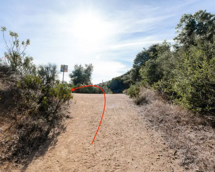
The hike had two major switchbacks. The first can be seen below.
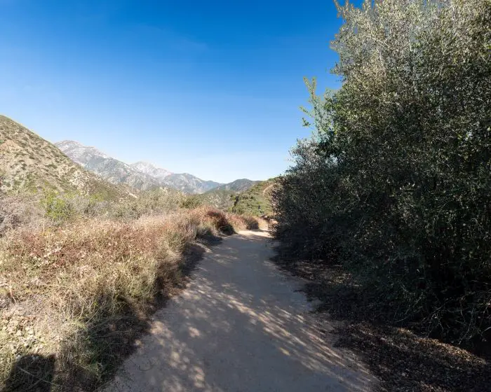
Immediately after the switchback, I was rewarded with amazing views of Turtle Beak and Cucamonga Peak.
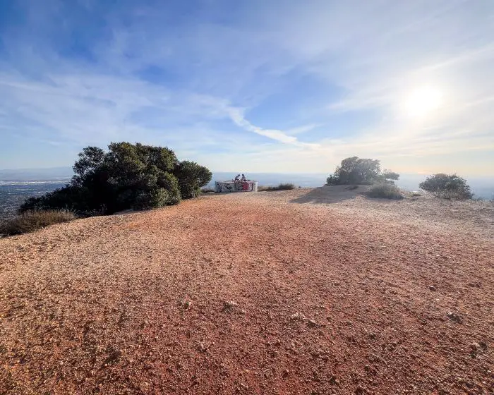
When I got to the top, I found myself in a large clearing with a water tank where hikers place their potatoes.
As you can see, I’m not the best artist. I tried to draw Mr. Potato Head but it ended up looking more like Steve Harvey lol.

Kudos to the people who made Santa Claus, Where’s Waldo, and, if I’m not mistaken, Dona Florinda!
However, all the potatoes were awesome and fun to look at. I love this community!

I flew the drone to grab a shot of the ocean but unfortunately, too much smog prevented it.
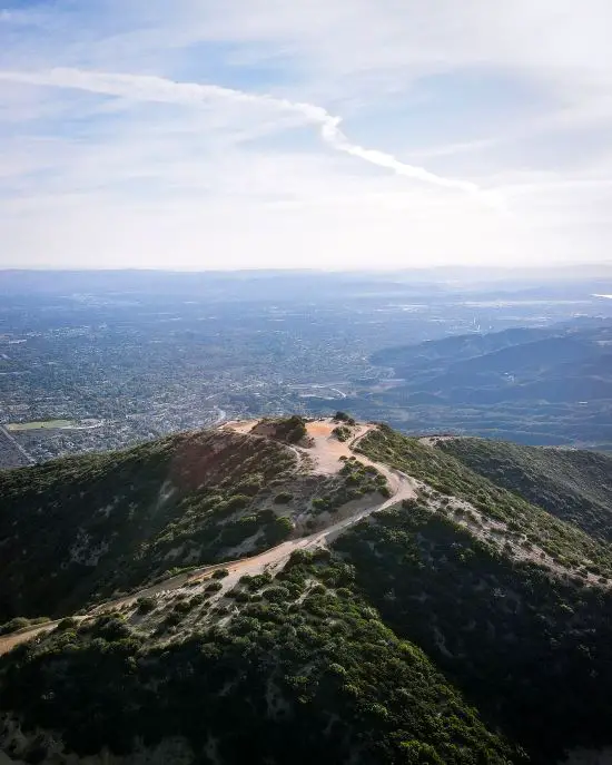
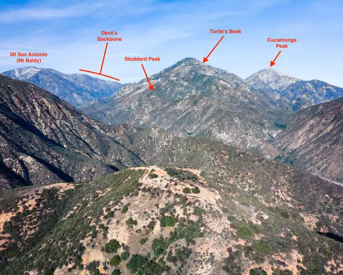
Luckily, the shot with Mt Baldy in the back came out much better.
Potato Mountain is in the foreground, and multiple much larger peaks including Cucamonga Peak, can be seen towering above the potatoes.
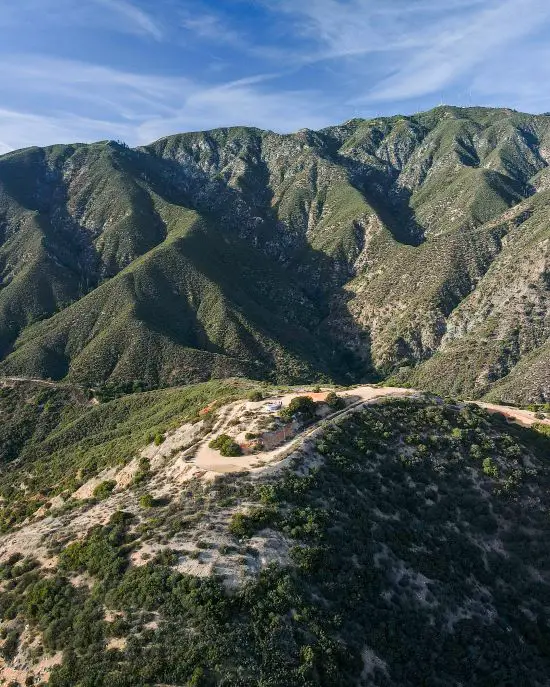
If the gate at the trailhead was open, we’d be able to drive our vehicles completely around the peak’s concrete tower. Here’s a shot looking west from the dirt road that wraps around the peak.
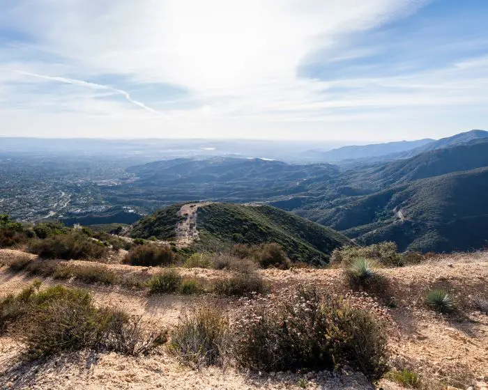
Although it’s difficult to see, San Gorgonio and San Jacinto are in the background, and the dirt road is right below the place where I was standing.
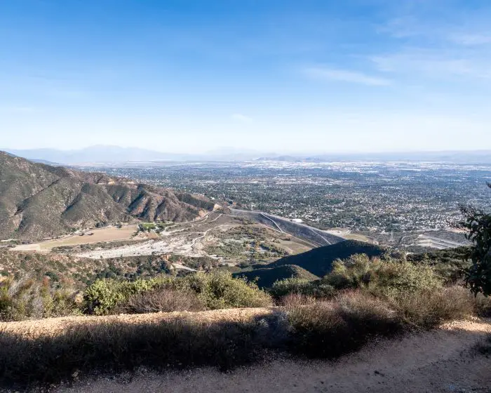
Last but not least, the Cleveland National Forest looms high on the opposite side of the valley.
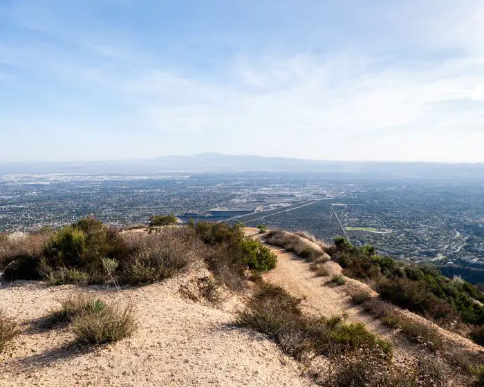
The two largest peaks in the Santa Ana Mts are collectively known as Old Saddleback, as they resemble a horse saddle. You can barely make them out in the distance.
Hope you guys enjoyed that post.
I highly recommend visiting, and if you do, make sure to stop by the grocery store so you can also decorate and leave a potato on the mountain, then take a picture and tag me on IG @cahikingadventures.
Until next time!

