Distance
3 Miles
Time
1.5 Hrs
Difficulty
Easy
Season
All Year
Elevation Gain
72 Ft
Bolsa Chica Ecological Reserve is a 1400 acre saltwater marsh with seasonal estuarine conditions located alongside Pacific Coast Highway in Huntington Beach, CA. It boasts five miles of trail through fresh and saltwater wetlands, lowlands, and mesas. 321 aerial species make the reserve a hot-zone for birdwatchers and photographers. No biking or pets are allowed and fishing is restricted to certain areas.
Bolsa Chica Ecological Reserve Map
powered by Advanced iFrame. Get the Pro version on CodeCanyon.

Where to Park
Parking and entrance is free
The reserve offers 2 parking lots. One is located on Warner Ave on the corner of Warner and PCH. The second parking lot is about a mile down from PCH.
Parking lot on the corner of PCH and Warner: Click here
Parking off of PCH: Click here
More Orange County hikes to check out!
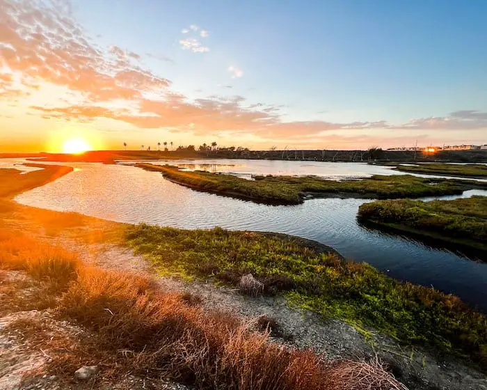
** I recently went back to take pictures during sundown. Images adjacent to each other were taken at virtually the same location, but some may be looking in a different direction. **
The Bolsa Chica Reserve
I’m really excited to share this place with you as I live only 4 minutes away! You might see giant brown Pelicans or the classic American Bald Eagle if you’re lucky. The reserve is a must-do if you’re planning on visiting HB.
We started our walk in the first parking lot, where the Bolsa Chica Conservancy building is located, and made our way towards the bridge. (You can’t miss it).
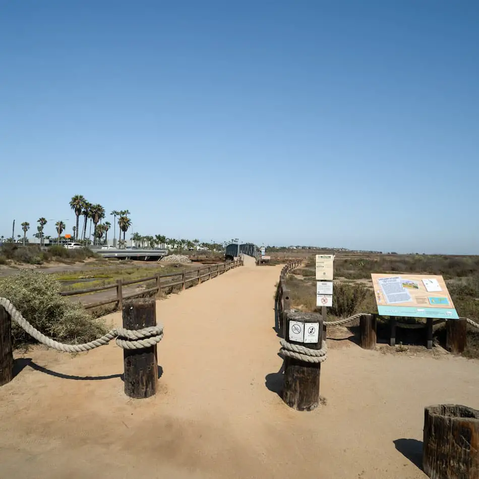
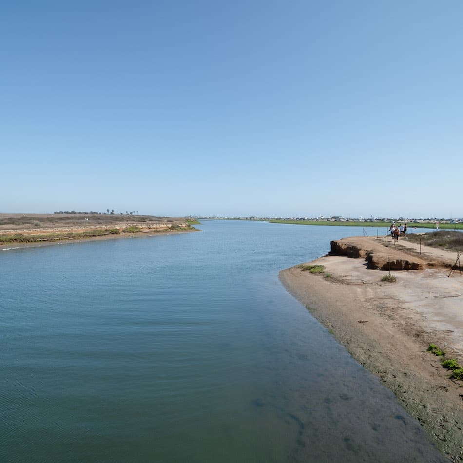
The area located to the right of the bridge is the only location where fishing is allowed. The image below shows the view of the rest of the reserve from the bridge.
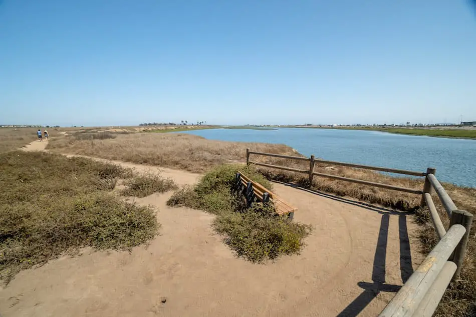
As we continued our walk through the reserve, we came across a rest stop offering amazing views of the wetlands and Bolsa Chica State Beach. You can see all the way to Catalina Island from here.
During the Fall and Winter, the water dries to leave a marsh ecosystem. If you’re looking for a beautiful sunset spot, this is it.
The dirt trail runs parallel to a roughly 20-foot embankment and PCH. If you have small children I wouldn’t let them get too close.
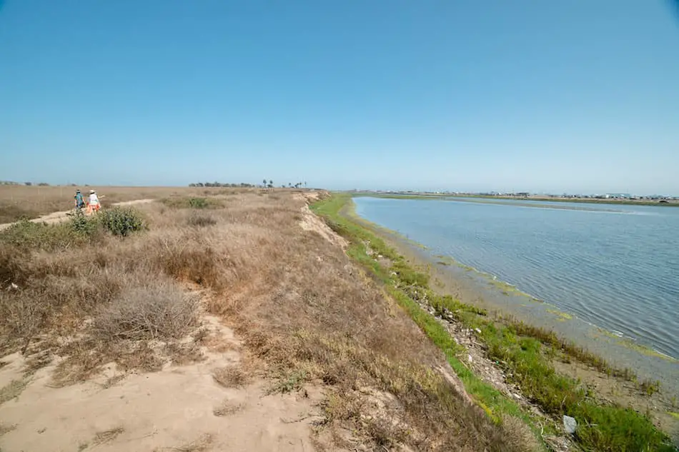
Here’s the view looking out into the ocean and the beach.
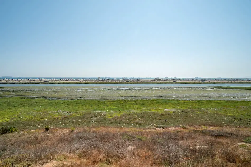
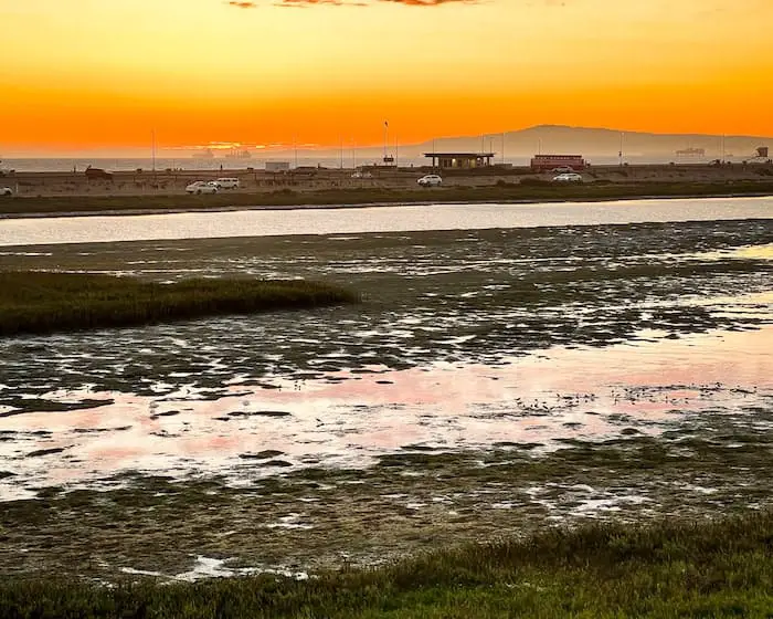
Roughly 1 mile into walk, we arrived at the heart and sole of the reserve. This is where most birdwatchers and photographers hang out because of the abundant wildlife.
We made our way down the stairs and onto the dirt road in the distance to begin a small loop.
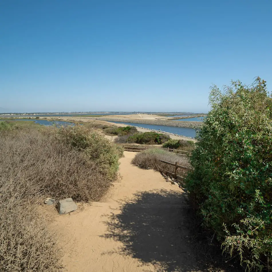
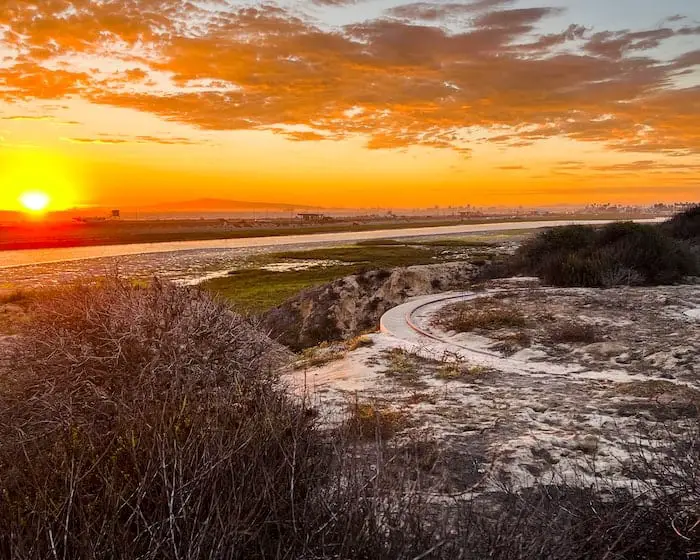
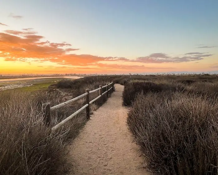
If it’s a clear day you can expect to see the majestic Santa Ana mountain ranges across the valley. When it snows, the snowcapped peaks are a bonus for the reserve’s visitors.
We were surrounded by water on both sides of the road, and I was very surprised to see so many fish in the water.
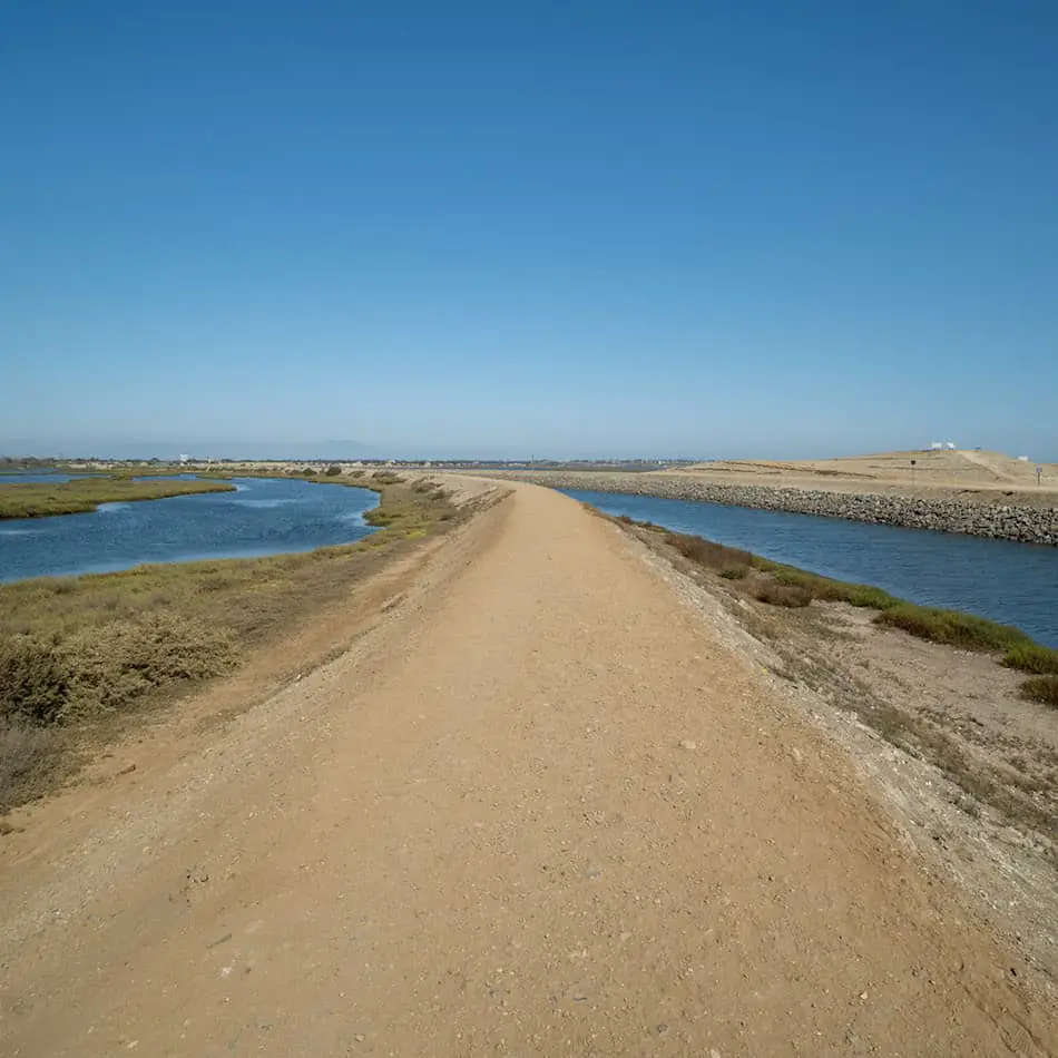
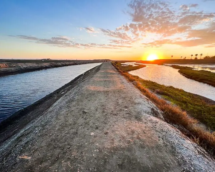
Schools of fish frequently appear near the surface of the water as various birds feast on them.
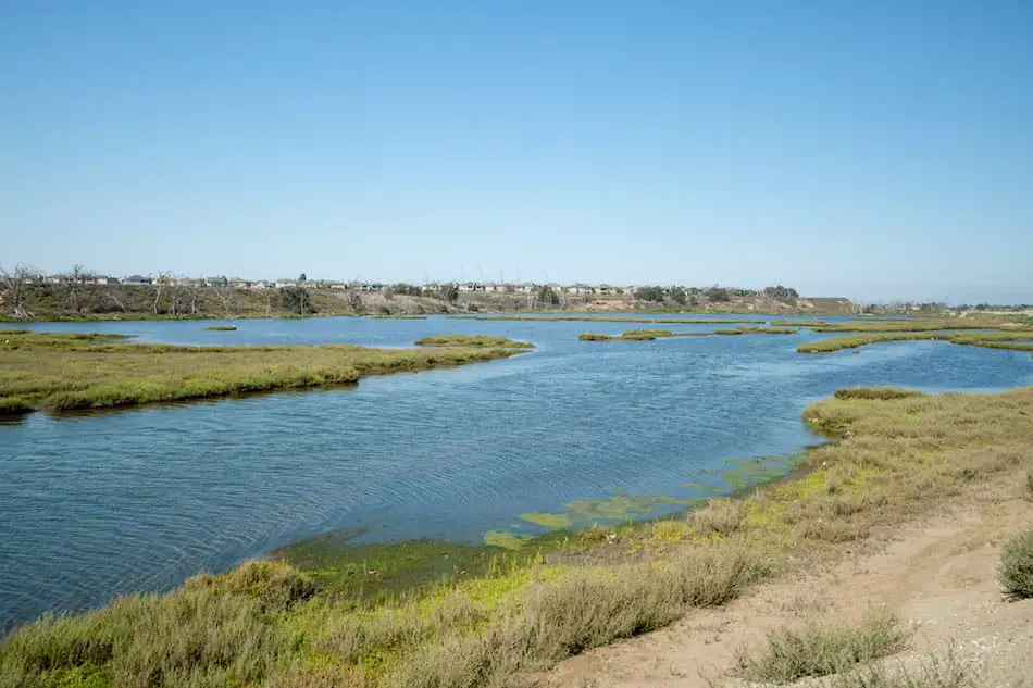
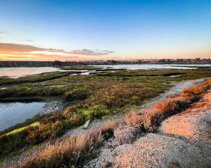
Birds patrol the skies looking for distracted fish to snack on.
It really feels like you’re just a visitor. A spectator witnessing the interaction between plants and animals, prey and predators.
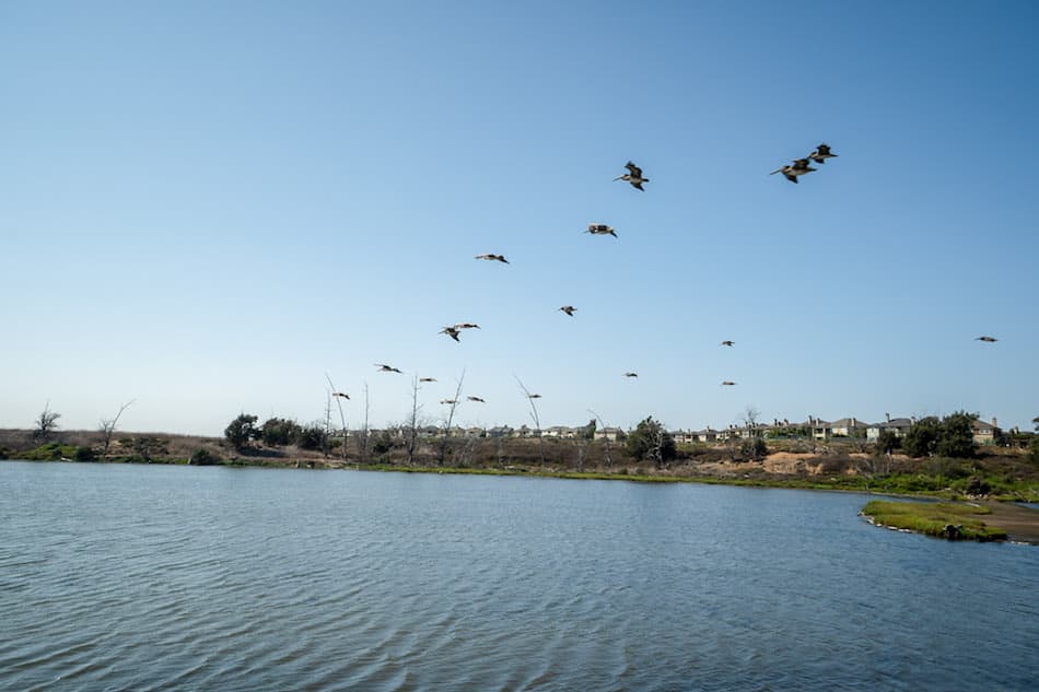
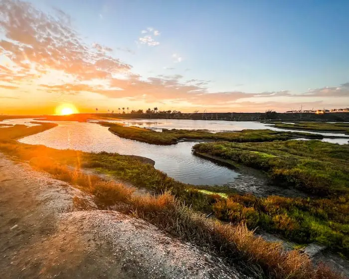
When we reached the far end of the loop, we crossed a second bridge before heading back on another dirt road opposite to the first.
Here’s the view from the bridge looking out towards PCH.
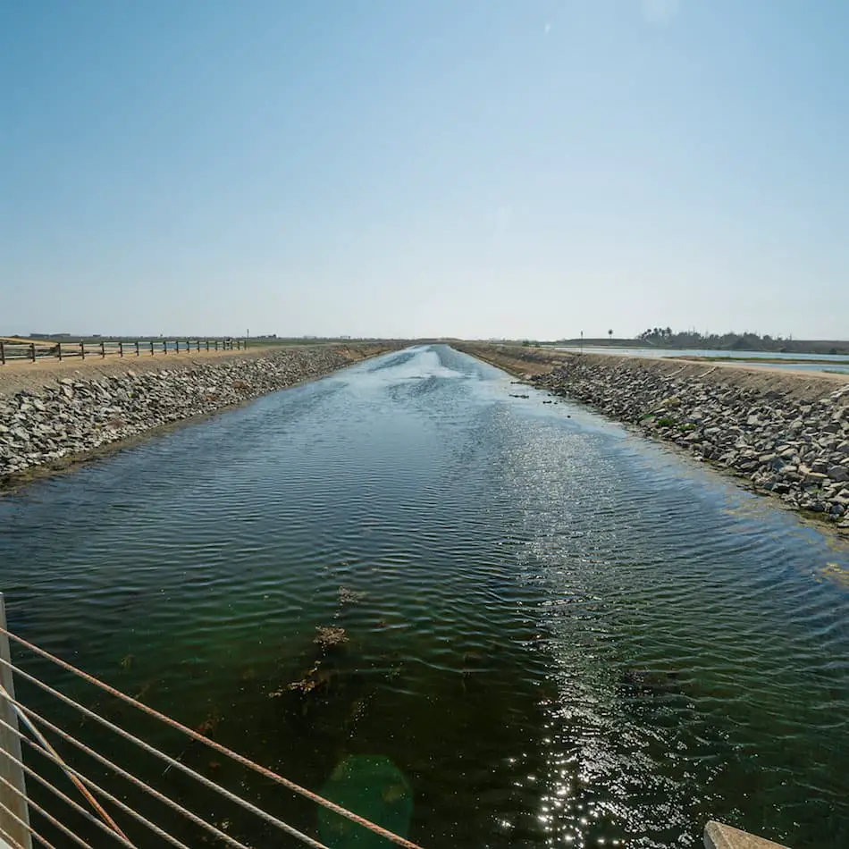
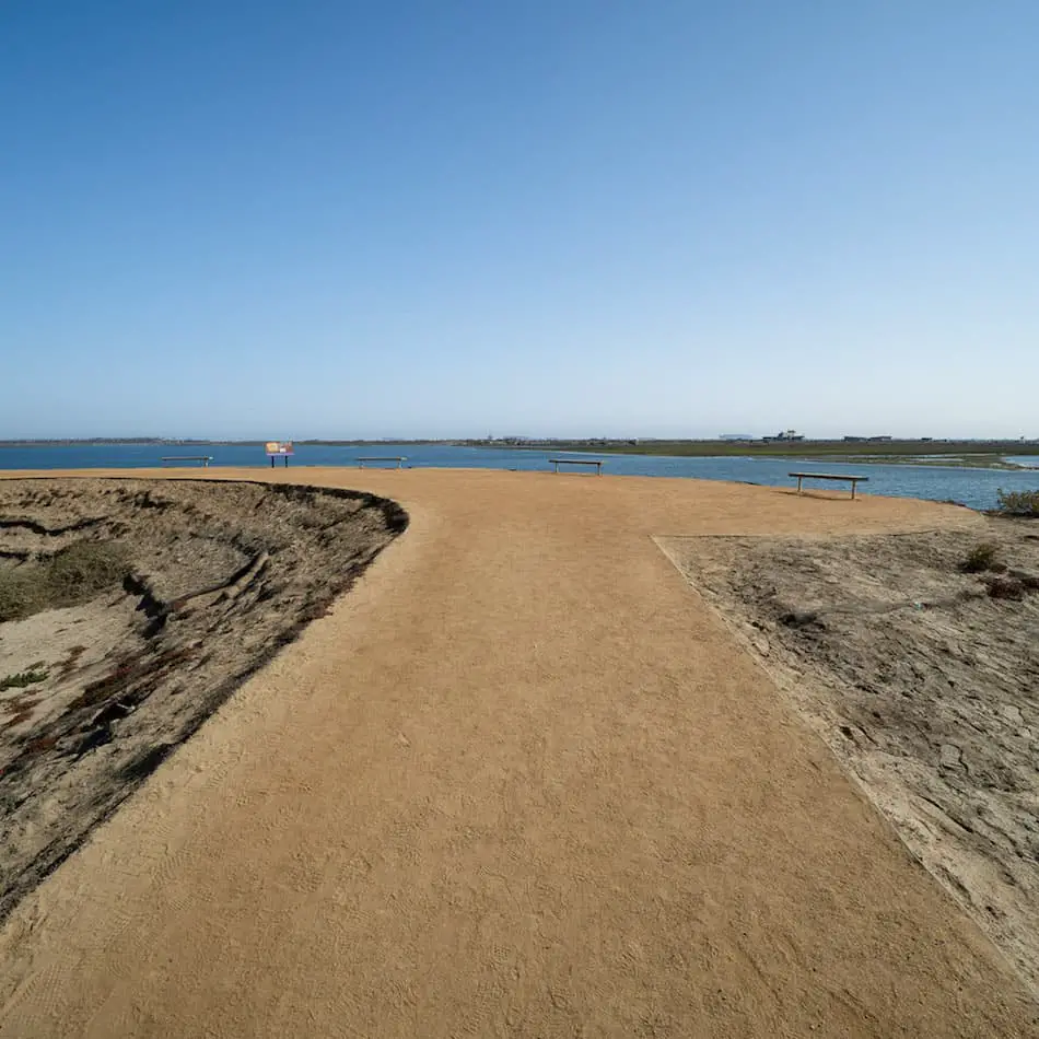
Shortly thereafter, we reached the largest viewpoint in the reserve. You can see everything from Catalina Island, the largest body of water in the reserve, and the mountain ranges across the valley.
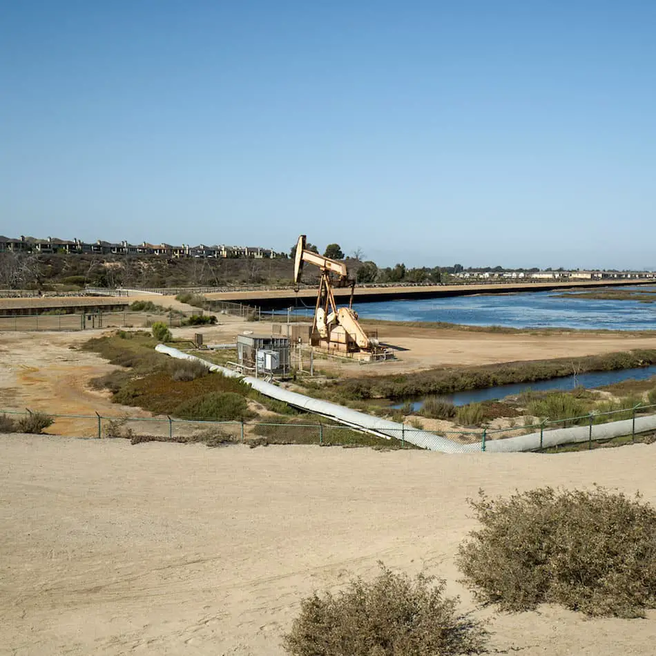
The viewpoint area sits adjacent to oil rig machines, which many claim are an endangerment to wildlife and the reserve.
Once you complete the loop, head back up the stairs and make your way to the parking lot.
History of Bolsa Chica Reserve
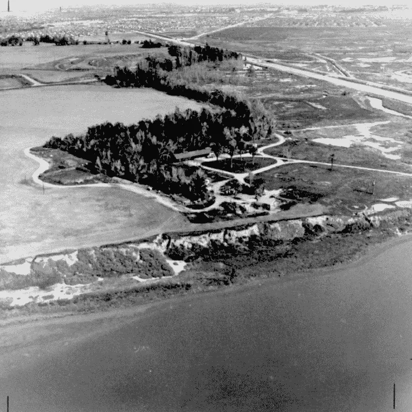
Bolsa Chica was first inhabited 8,000 years ago by Native American tribes known as Tongva and Acjachemen. They built seasonal settlements on the Mesa to avoid harsh winter weather in the Santa Ana Mountains.
When California became a part of Mexico, it was dubbed Bolsa Chica, which means Small Purse, after Rancho La Bolsa Chica owned by Joaquin Ruiz. He was given this land by the descendants of Spanish soldier Manuel Perez Nieto.
Following the American conquest, the Nieto family was unable to pay certain debts, so their land was subdivided and sold.
A group of Los Angeles businessmen bought a portion of the land, and the wealthy duck hunting Bolsa Chica Gun Club was born in 1899. Among those who used the reserve to hunt, was national baseball star Babe Ruth.
Oil was discovered in the reserve in 1920. Therefore, the Bolsa Chica Gun Club signed an oil and gas lease with Standard Oil Company of California to begin drilling oil, which didn’t begin until 1940 when the Signal Oil Company took over the lease.
During World War 2, the US Army took over the land following the attack on Pearl Harbor and proceeded to build artillery battery to protect the Port of Long Beach and Fort MacArther.
In 1972, Signal Landmark signed off roughly 310 acres of land to the state, which officially established the Bolsa Chica Ecological Reserve. In 1997, the remaining lowland portions of Bolsa were purchased by the state, and in 2004 the area was restored to its original conditions in the early 1800’s.
Bolsa Chica Wildlife
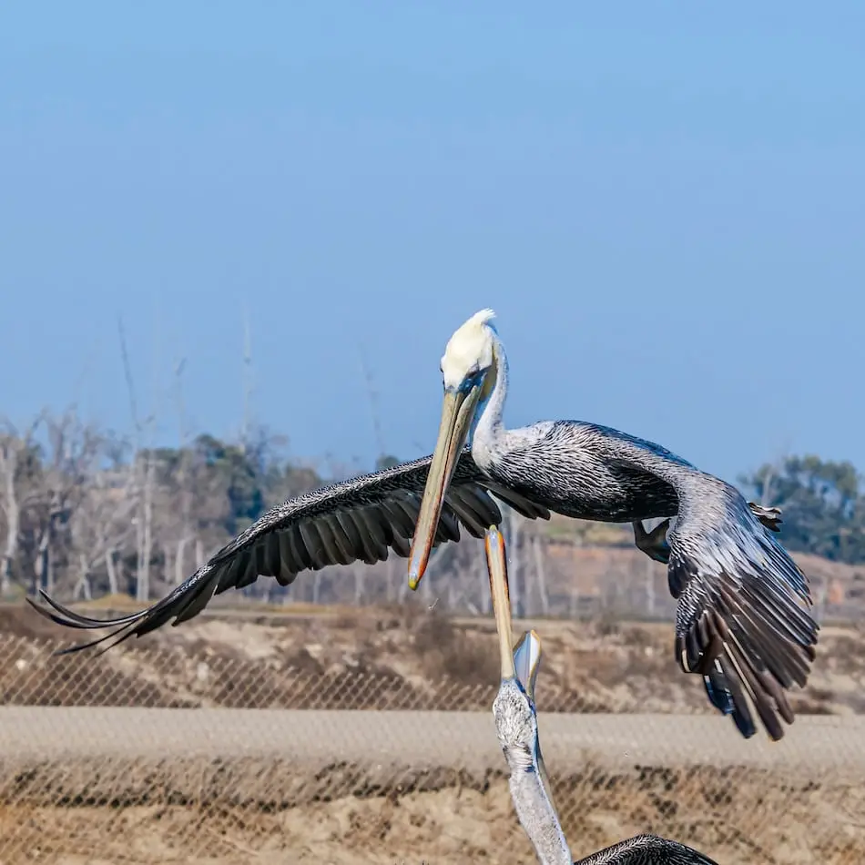
Bolsa Chica is especially well known among birdwatchers and photographers. Over 300 bird species are found in the marsh as they make a migratory spot, including 18 rare species such as the Californian Brown Pelican and American Bald Eagle.
The best time for bird watching depends on the species. However, the two main seasons that offer a wide variety of birds are summer and winter.
You can find a thorough checklist of all the birds which have been spotted at Bolsa by clicking the link here.
Please be very respectful of the area as there are quite a few endangered species who call this place home. Drones cannot be flown over the reserve nor are equestrians are not allowed to enter the premises.
Wildlife in the wetlands includes far more than just birds. Sharks, fish, coyotes, snakes, lizards, rabbits, and squirrels all roam the marsh, cohabiting in a balanced ecosystem that only exists thanks to the relentless efforts of conservationists.

