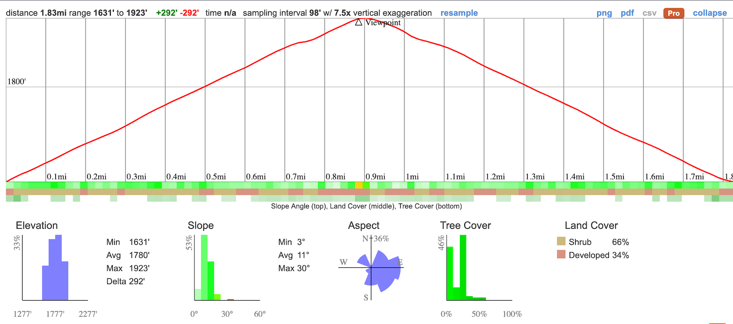
- Total Miles:1.8 Miles Roundtrip
- Time: 1 Hr
- Difficulty: Easy
- Best Season: All Year
- Elevation Gain: 292 ft
- Max Elevation: 1923 ft
- Type of Trail: Out & Back
- Parking: Small Dirt Lot
- Dogs: Allowed On A Leash
- Restrooms: Available At The Missile Site
- Trail Popularity: High
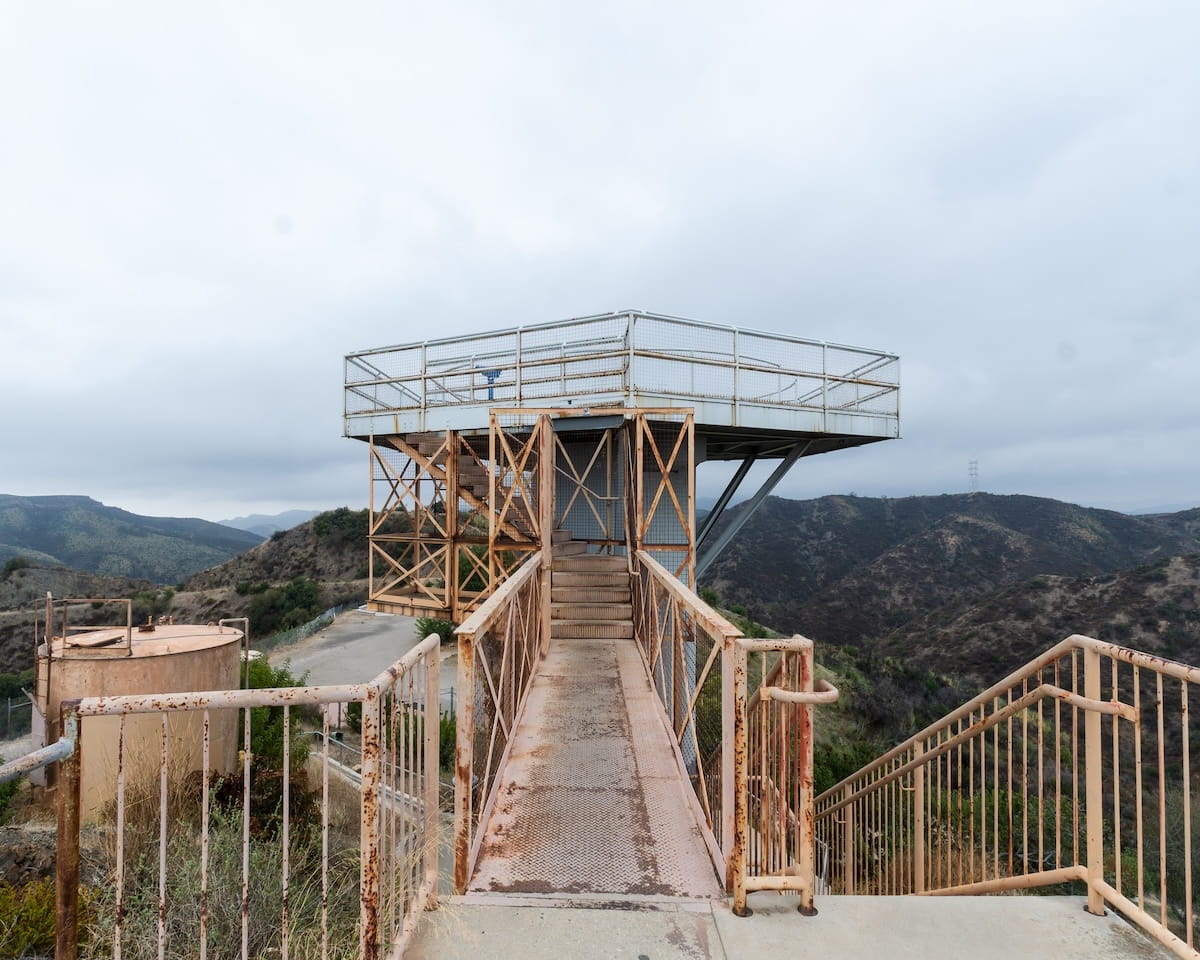
The Nike Missile Site LA-96C is a former military post used during the Cold War to protect LA County from incoming bombers. Today, it’s a short 2 mile roundtrip hike to the top of San Vicente Mountain in the Santa Monica Mountains.
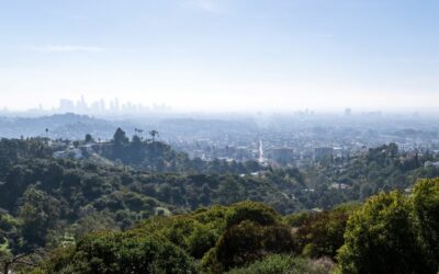
At 1950 ft in elevation, the surrounding views include Downtown LA, Santa Monica, and Venice Beach, among others. The park has preserved the structures and is open to the public during the day. It’s easy enough for the entire family.
Trail Map
Parking & Directions
To be redirected to the trailhead via Google Maps, click the link here.
Expect large crowds and difficulty parking weekends.
Helpful Links
Nike Missile Site Trail
The hike begins on the dirt road section of Mulholland Dr. It’s mostly sunny so bring a hat and plenty of water.
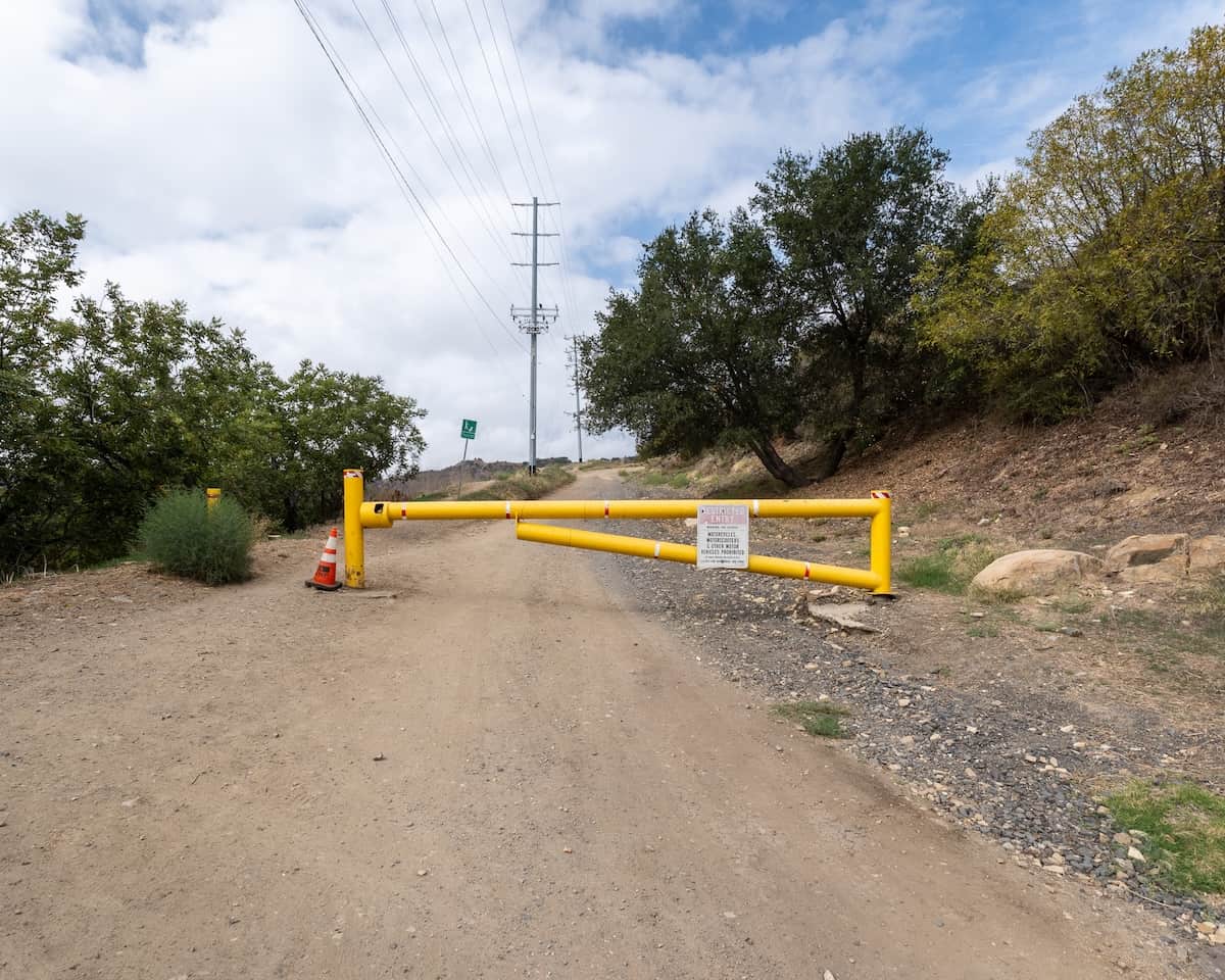
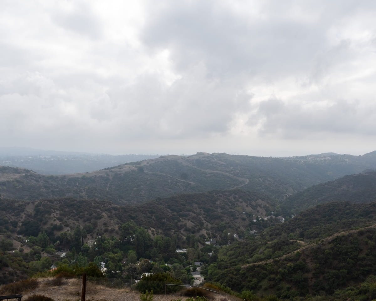
Follow the dirt road up to Vicente Mountain. Not a lot going on for the first part of the hike but you do get some nice views of the city below.
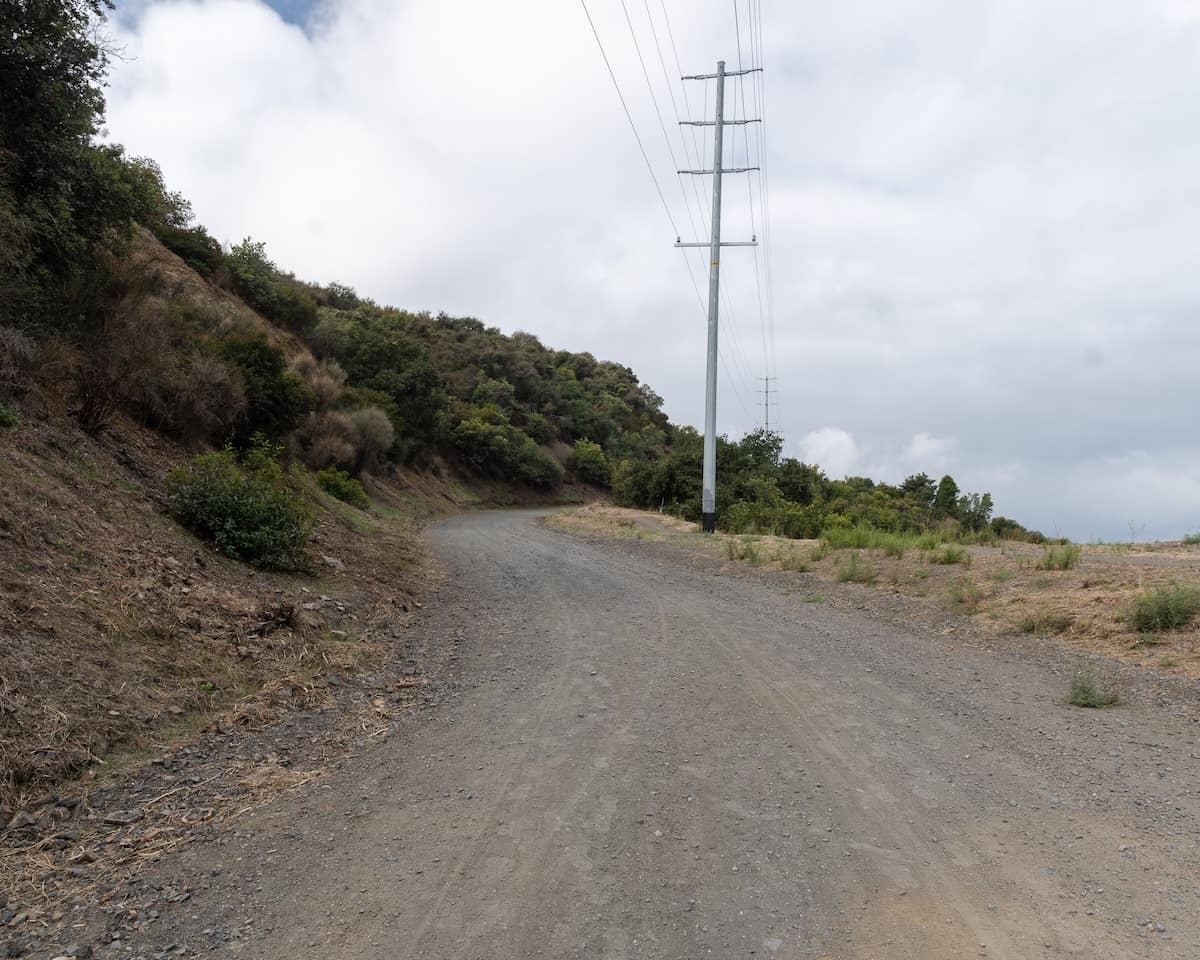
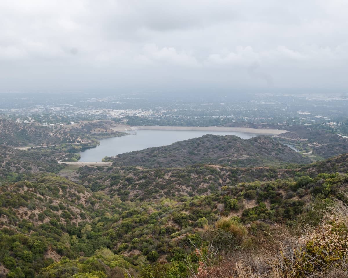
Encino Reservoir should come in view about halfway up to the site.
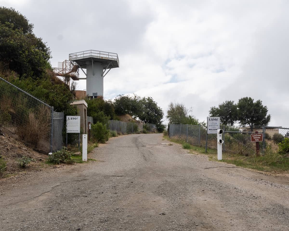
The missile site will be on your left. You can’t miss it.
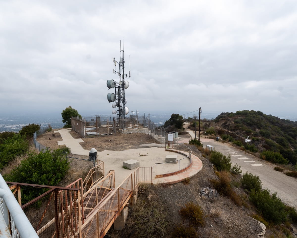
The radar tower towers over everything in the area, and signs identify the site.
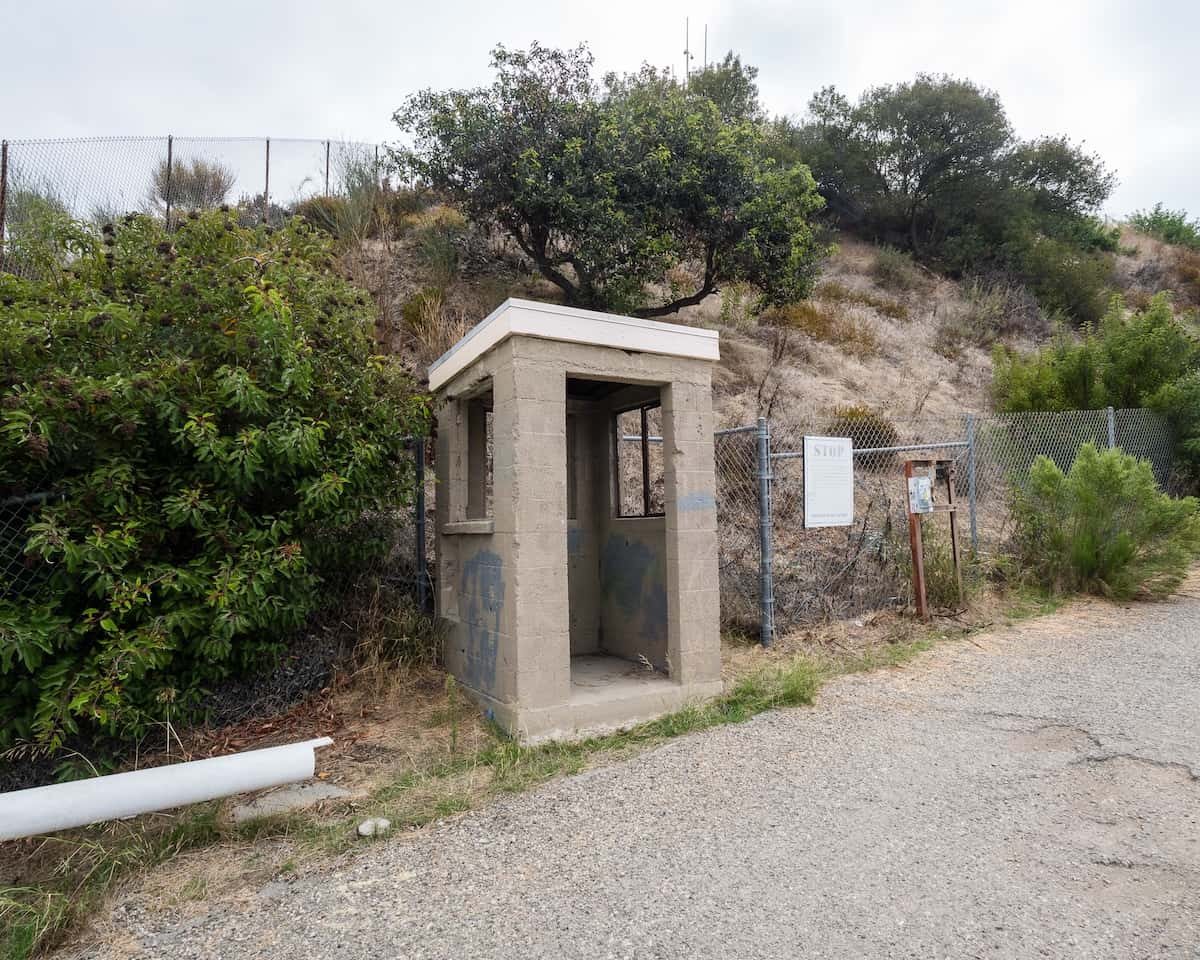
This building was the Sentry Post where the guards would allow only people with authorized access inside.
The site operated from 1956 to 1968, at the height of the cold war.
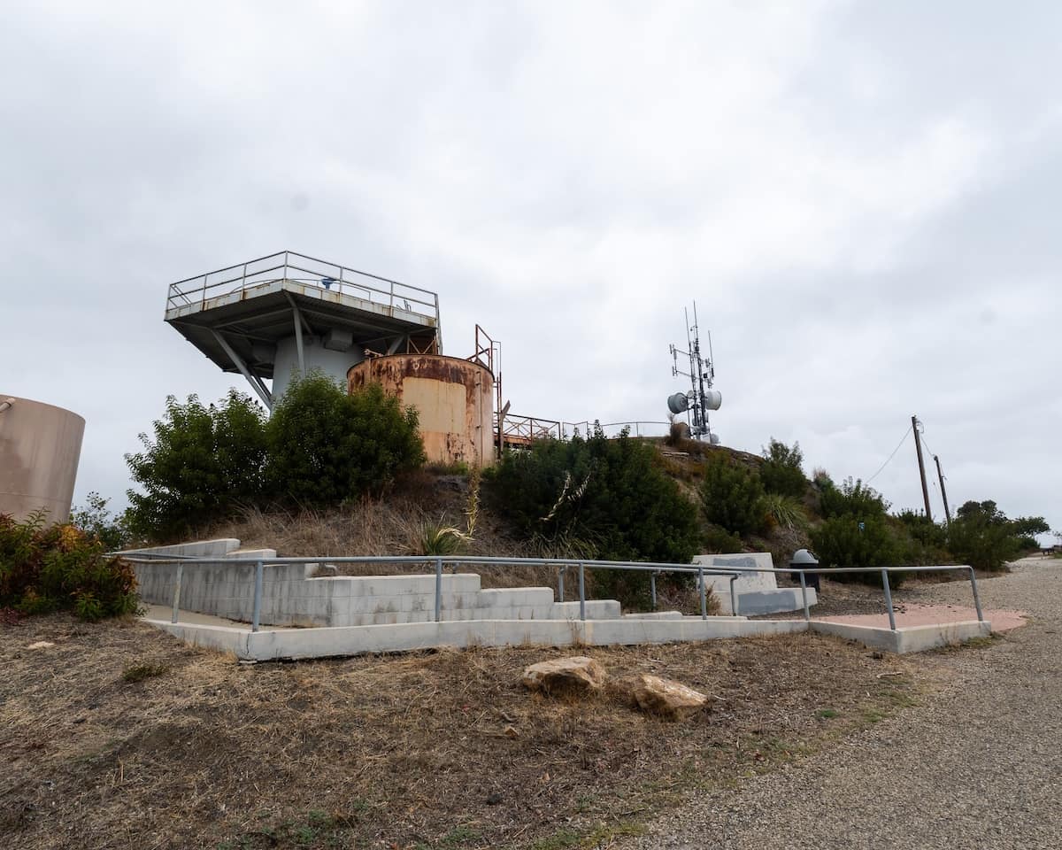
This site was a control site, meaning the missile were neither stored nor launched from here. Its purpose was to detect the incoming threat (enemy bombers) via the radar tower, relay the info to Nike Missile Site LA-96L about 20 minutes away, and from there, eliminate the threat.
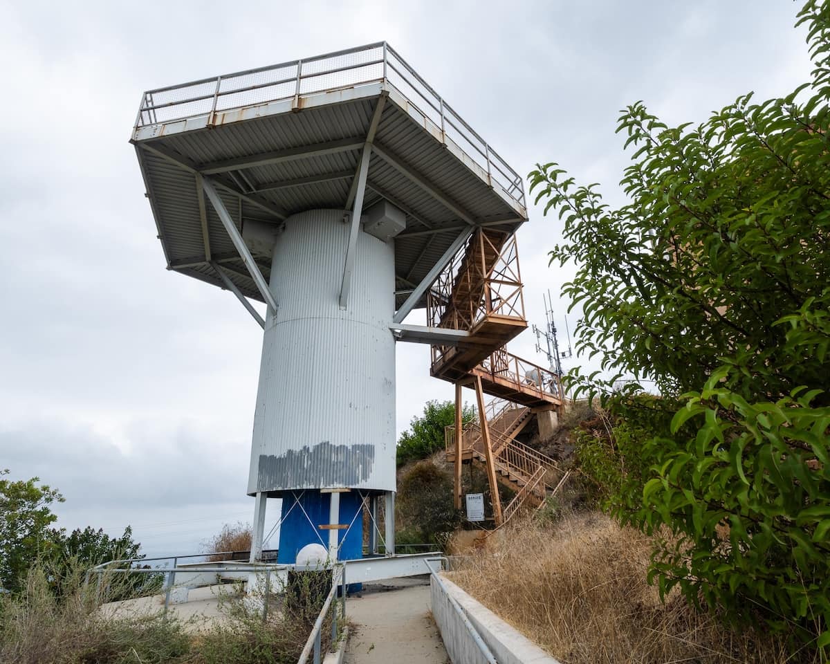
For security reasons, no single soldier knew how the entire system at the site worked. However, many of them lived at the site in what is now the ranger station.
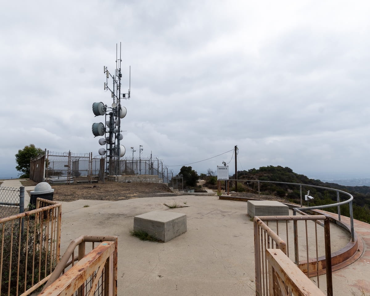
The soldiers were on 15 minute alert 24/7.
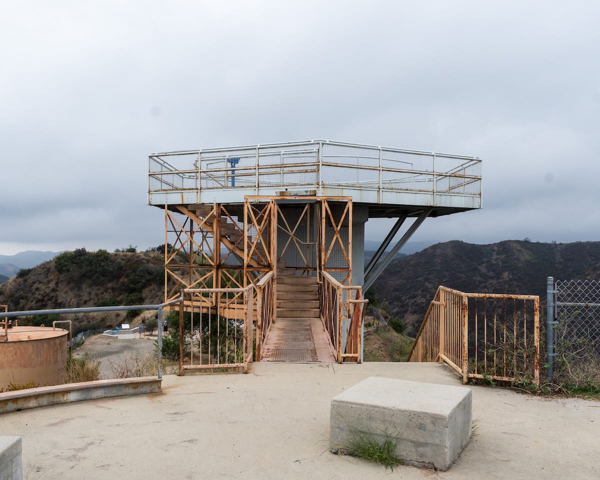
From the top of the radar tower, one can easily see all the way to the ocean, Santa Monica, and Downtown LA, but unfortunately for me, the view was obstructed.
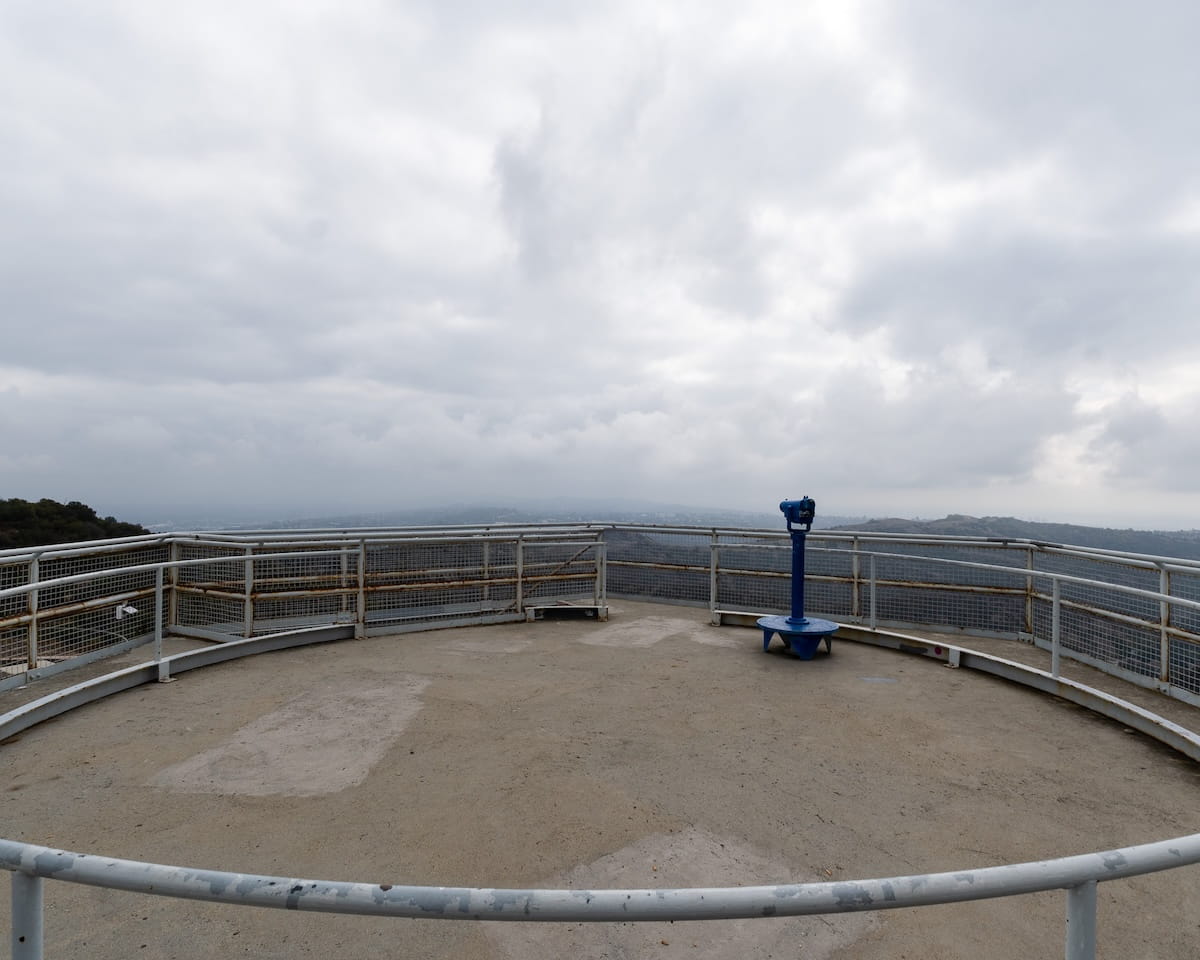
If you decide to use the binoculars, make sure to take some quarters with you.
All of these structures were required to do what a computer can do today.
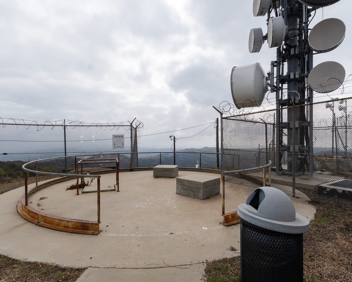
There is now telecom equipment at the site. It’s private property and under surveillance so I wouldn’t recommend trying to get inside.
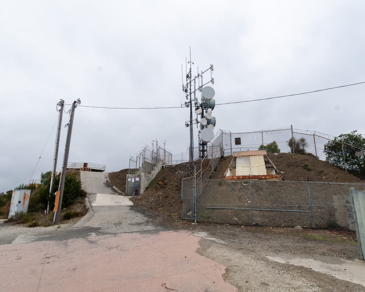
There is a room underneath the fenced off portion of the site which used to belong to the base but that is also now private property.
The Soviets invented ICBM technology in the 60s, allowing them to launch nuclear missiles from thousands of miles away through suborbital space and hit their targets directly. Since a bomber and pilot were no longer required, the site was decommissioned and has become another chapter in our history books.