- Total Miles: 3.4
- Time: 1 Hr
- Difficulty: Easy – Moderate
- Best Season: Spring
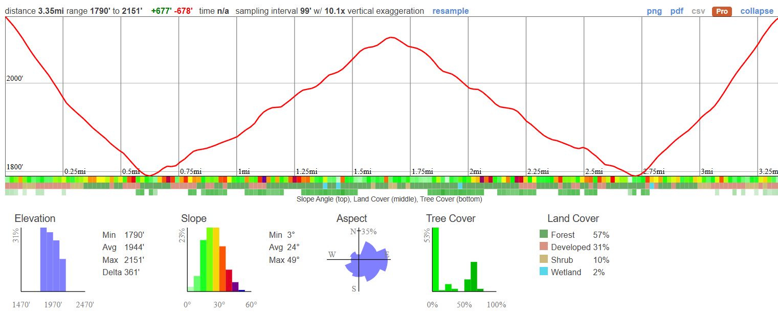
- Elevation Gain: 677 ft
- Max Elevation: 2151 ft
- Type of Trail: Out & Back
- Parking: Lot Fits ≈ 40 Cars + Street Parking
- Dogs: Allowed On A Leash
- Restrooms: Available At The Parking Lot
- Trail Popularity: Extremely High
- Pics Taken On: Oct 10, 2024
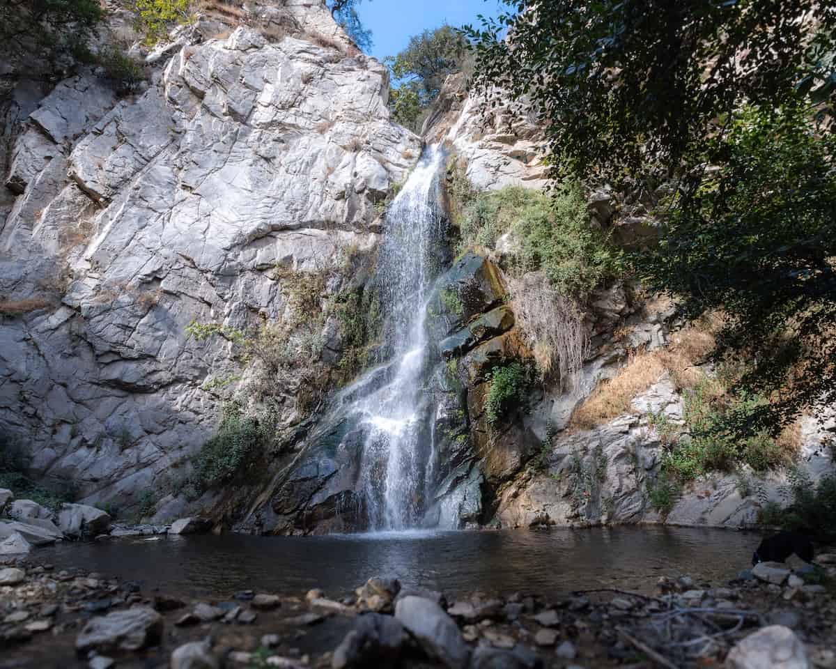
I know I’ve said this about many trails, but when it comes to the San Gabriel Mountains, this hike is truly a must-do. Sturtevant Falls is a stunning 50-foot cascade nestled above the city of Arcadia, but it’s not just the waterfall that makes this place feel magical. The trail itself is a major part of the experience.
About two-thirds of the route winds under a shaded forest canopy, following a serene creek through a lush, storybook landscape. You’ll pass charming log cabins and hear the gentle sounds of water as the path meanders upstream, making every step feel like an escape into another world.
Love chasing waterfalls? Check out my top-rated waterfall list for Southern California.
Sturtevant Falls Trail Map
Parking & Directions
Click here to be redirected to the parking lot via Google Maps.
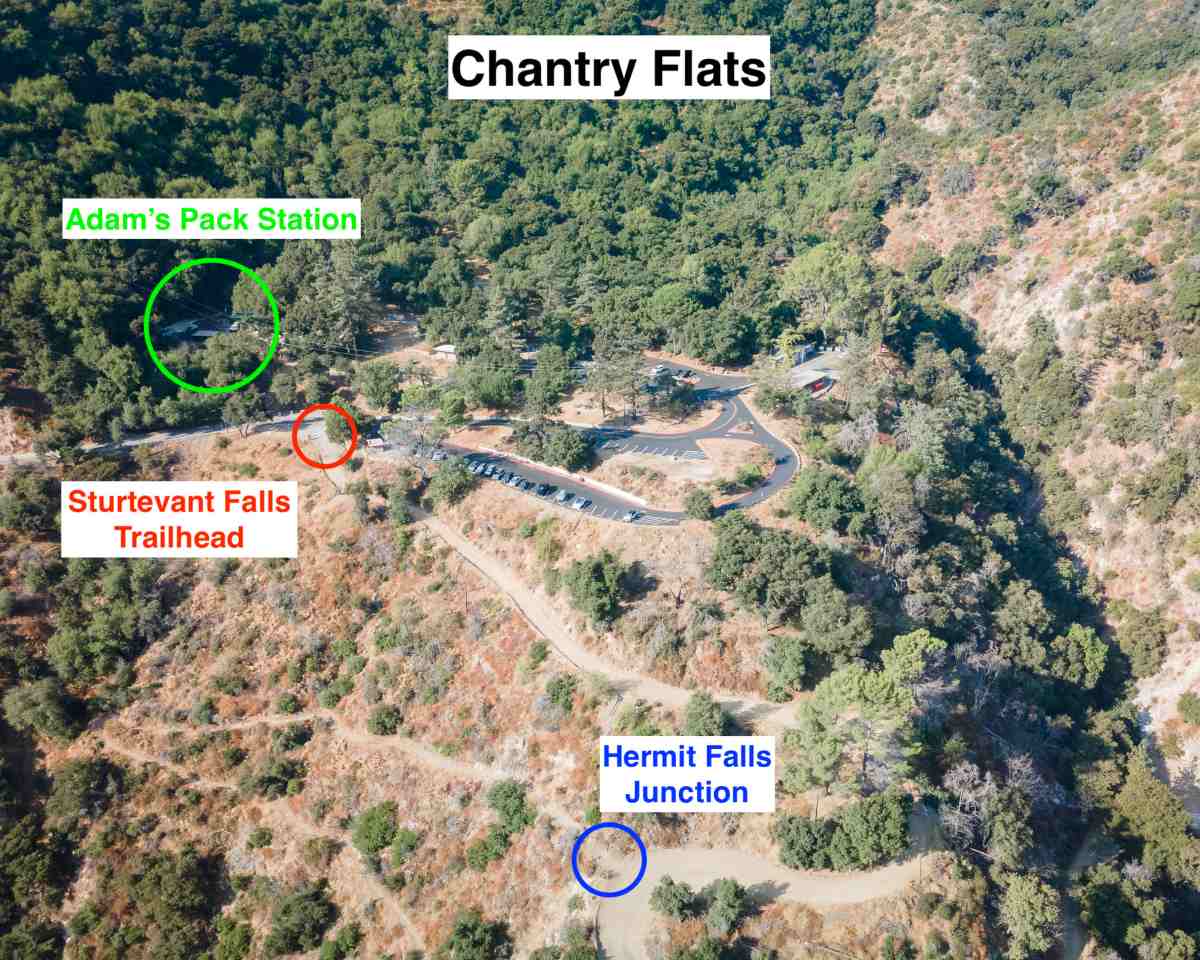
Parking permits are mandatory. The daily pass cost $5 and the annual Adventure Pass is $35. Both can be purchased at Adam’s Pack Station located adjacent to the parking lot.
The parking lot is nowhere near large enough to contain the amount of weekend visitors so be sure to arrive super early. Otherwise expect to park a mile below the trailhead.
Helpful Info
Sturtevant Falls Weather Forecast
The road up to Chantry Flats is open daily from 6 am to 8 pm. The gate is closed after park hours.
By the way, Adam’s Pack Station recently remodeled, and they now have a large outdoor seating area for their family owned business. I highly recommend swinging by.
Hiking To Sturtevant Falls
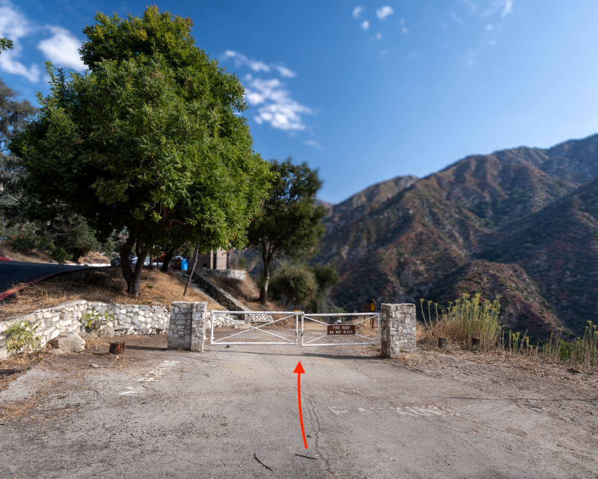
Start the hike by hopping on the Gabrielino Trail, a paved road that quickly transitions into a wide dirt road leading down to the canyon floor. There is very little shade on the descent, but that will change once you get to the canyon floor.
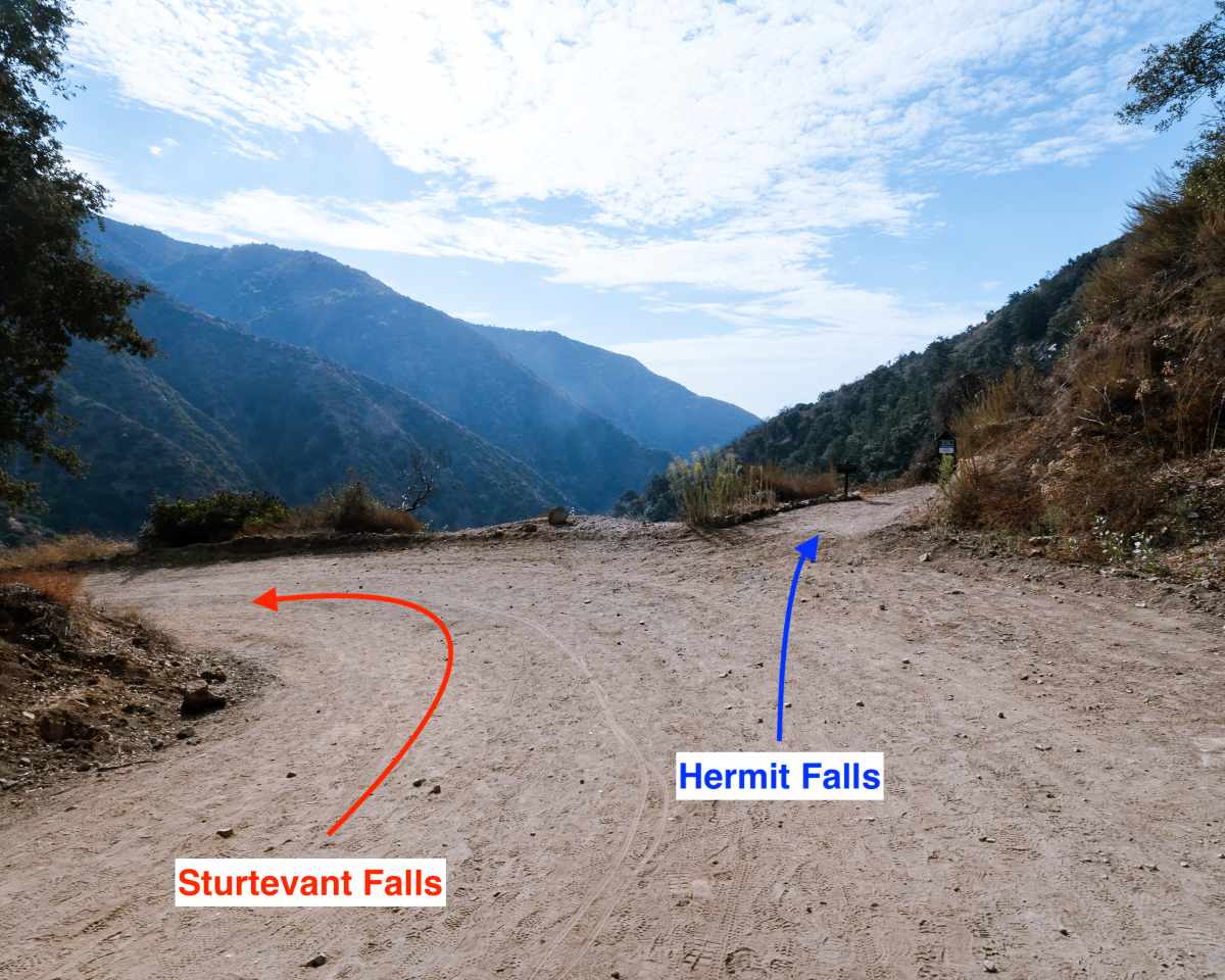
At the second bend, you’ll see a dirt trail veering off to the right. Ignore it. This is the trail that leads to Hermit Falls, a beautiful 30 foot waterfall ideal for cliff jumping.
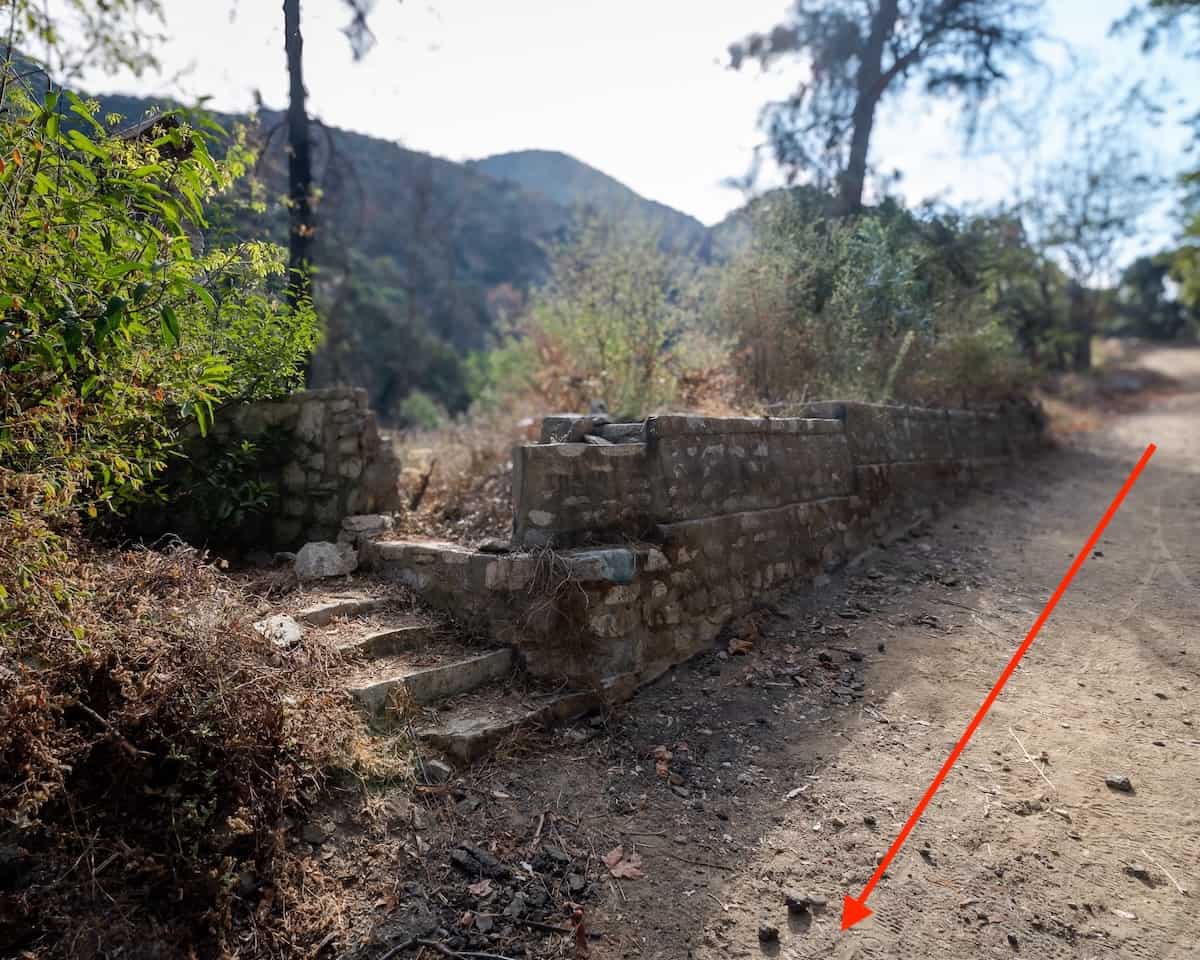
Santa Anita Canyon was home to many mountain resorts and lodges during the Great Hiking Era in the late 1800s. The ruins below were likely part what used to be Robert’s Camp.
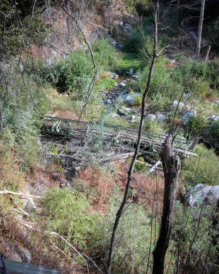
The Green Bridge used to be roughly 10 feet above Big Santa Anita stream but it was sadly destroyed by a flood in 2022.
Make a right after your first creek crossing.
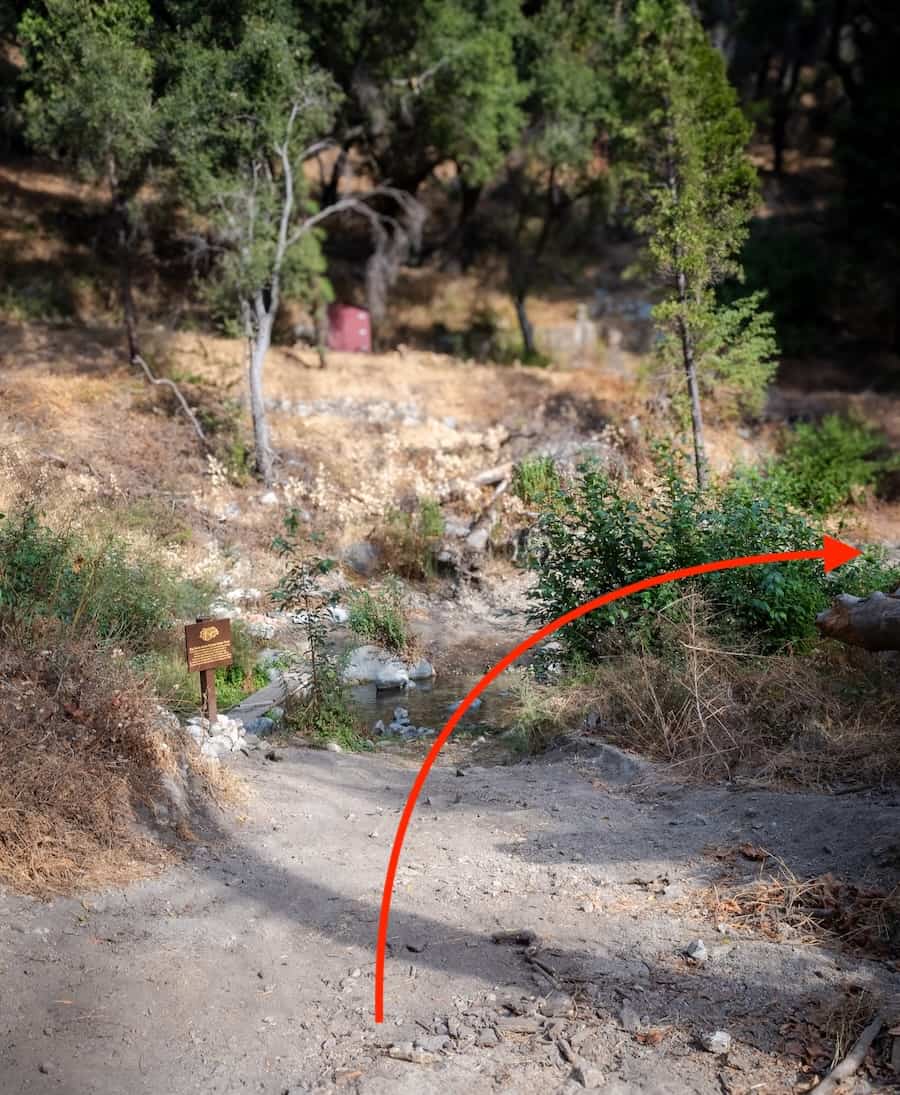
You should see some restrooms to your left. They’re not the cleanest, but it’ll be your last chance until you come back the same way.
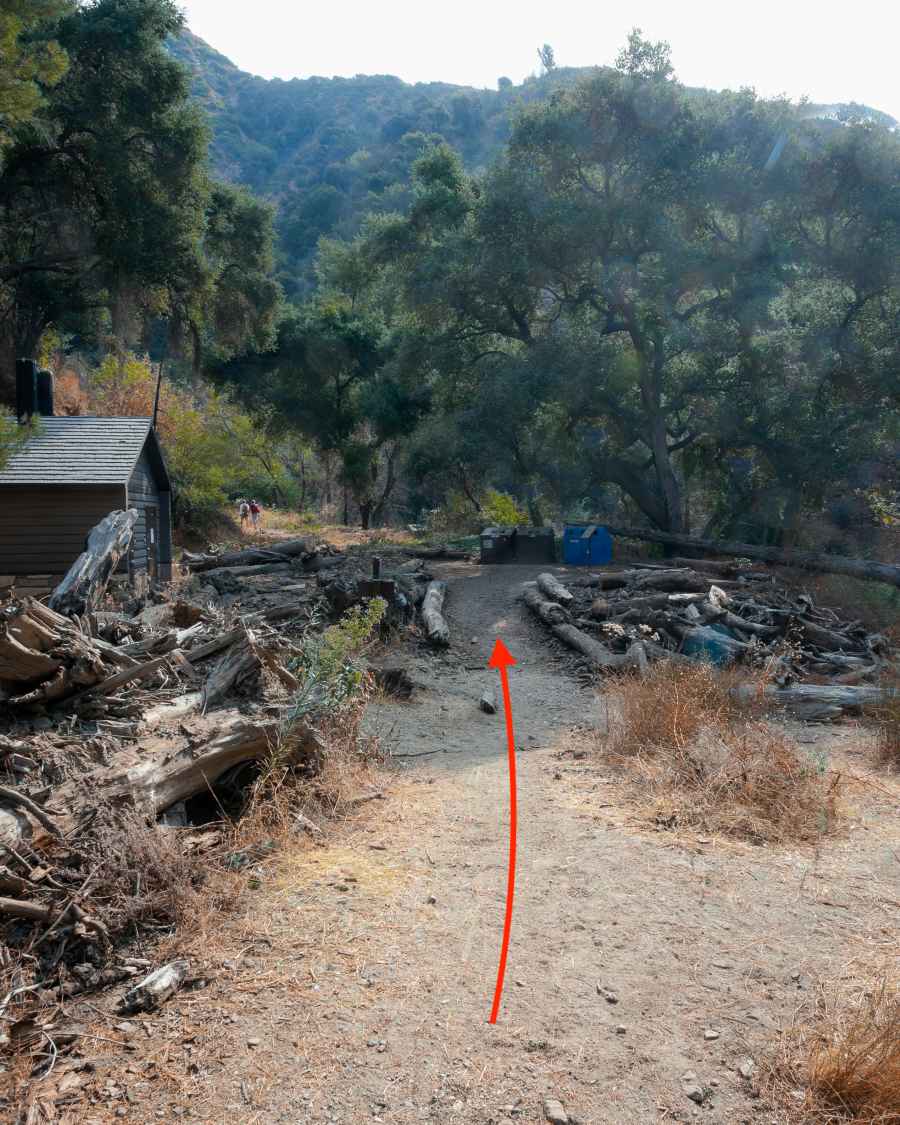
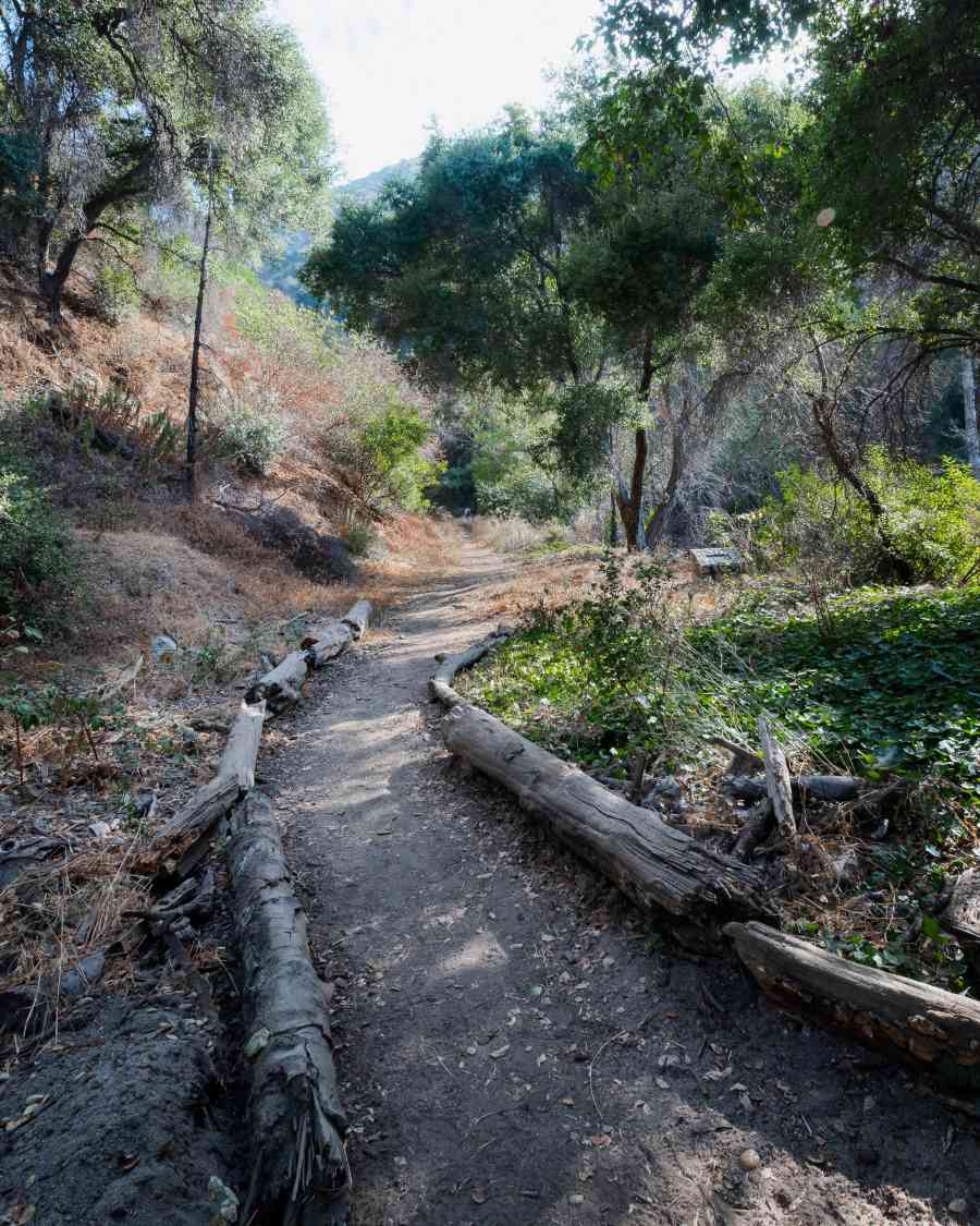
Follow the trail upstream, which is lined with fallen logs.
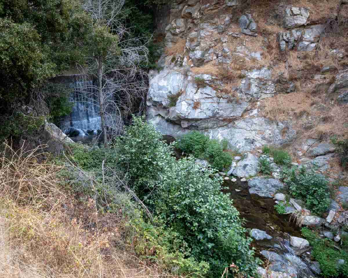
Check dams were built in the canyon to slow the flow of the creek, especially during heavy storms, and help minimize erosion and flood damage. But on a regular day, they create beautiful cascading waterfalls that add to the scenery.
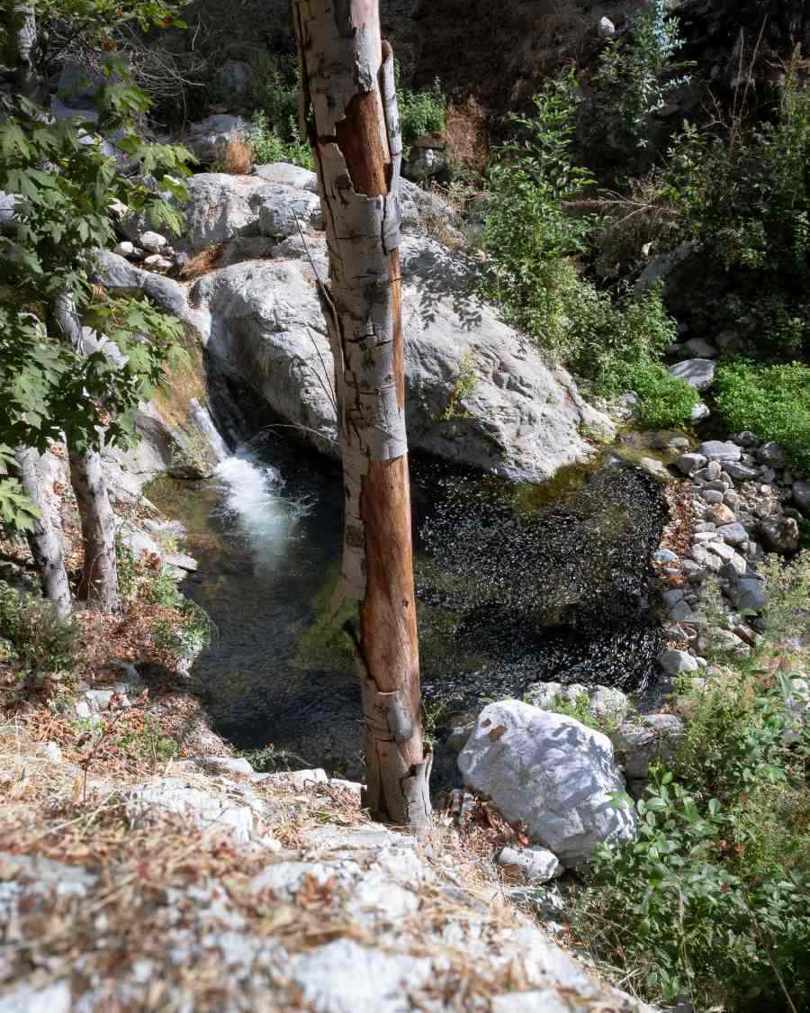
Sections of the creek above the check dams have formed little pools. Keep an eye out and you might see a California Newt relaxing in the shallow water.
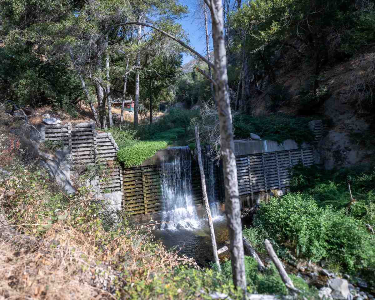
Some pools are even deeper, and have formed natural rock slides.
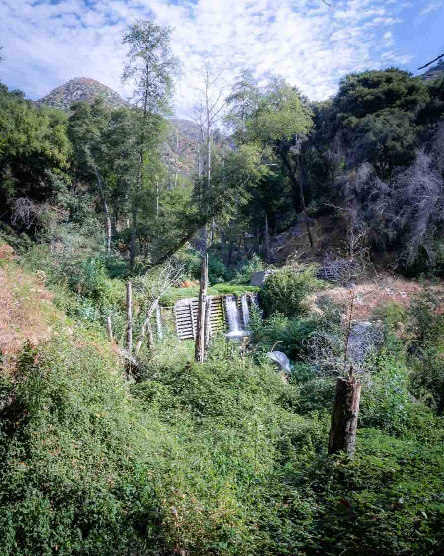
Most of the green vegetation you see below is actually comprised of blackberry bushes.
Shortly after passing the cabin (picture below), you’re going to reach the Gabrielino Fork with two trails heading up the canyon. Ignore them and continue following the creek upstream.
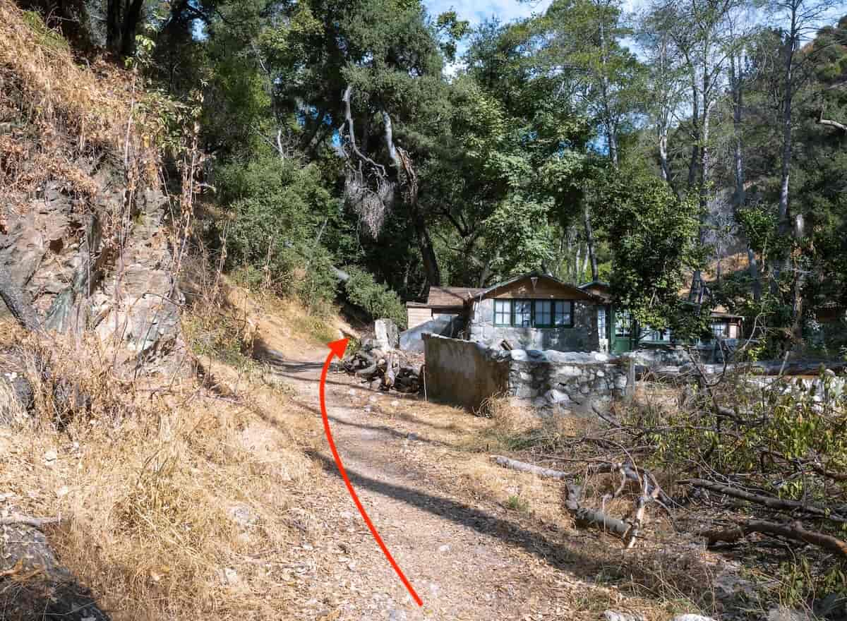
Another fork appears soon afterwards. Make a right at this fork, and cross the creek, then continue upstream. The cabins are private property, so please be respectful.
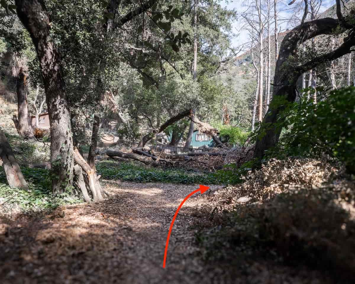
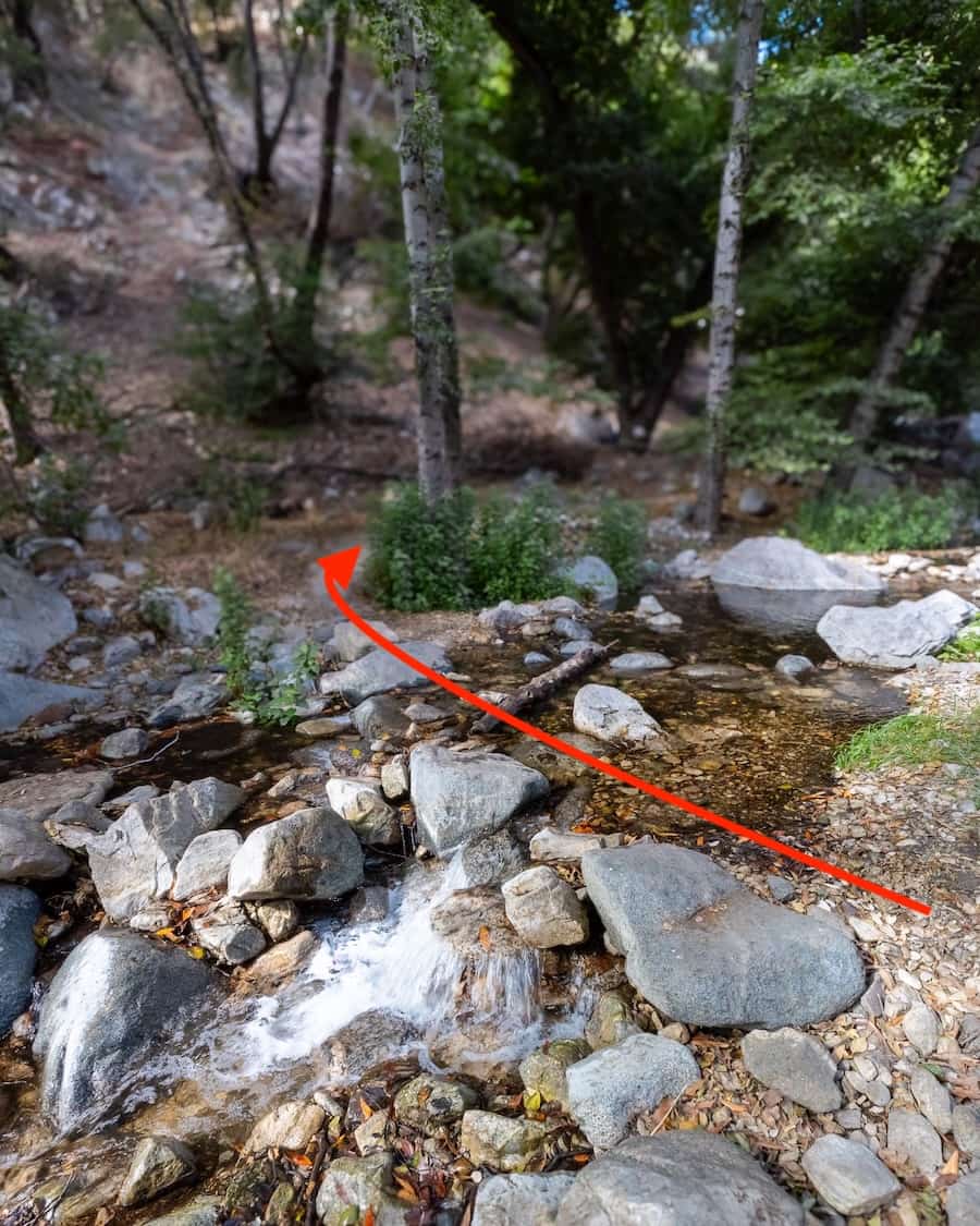
Continue following the trail, which will lead you through a couple more creek crossings. Almost there!
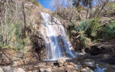
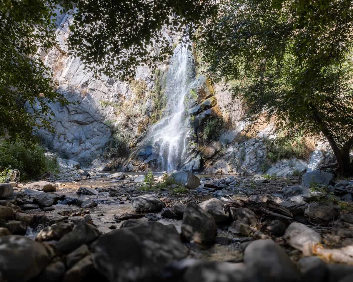
You have arrived at the stunning 50 foot Sturtevant Falls.
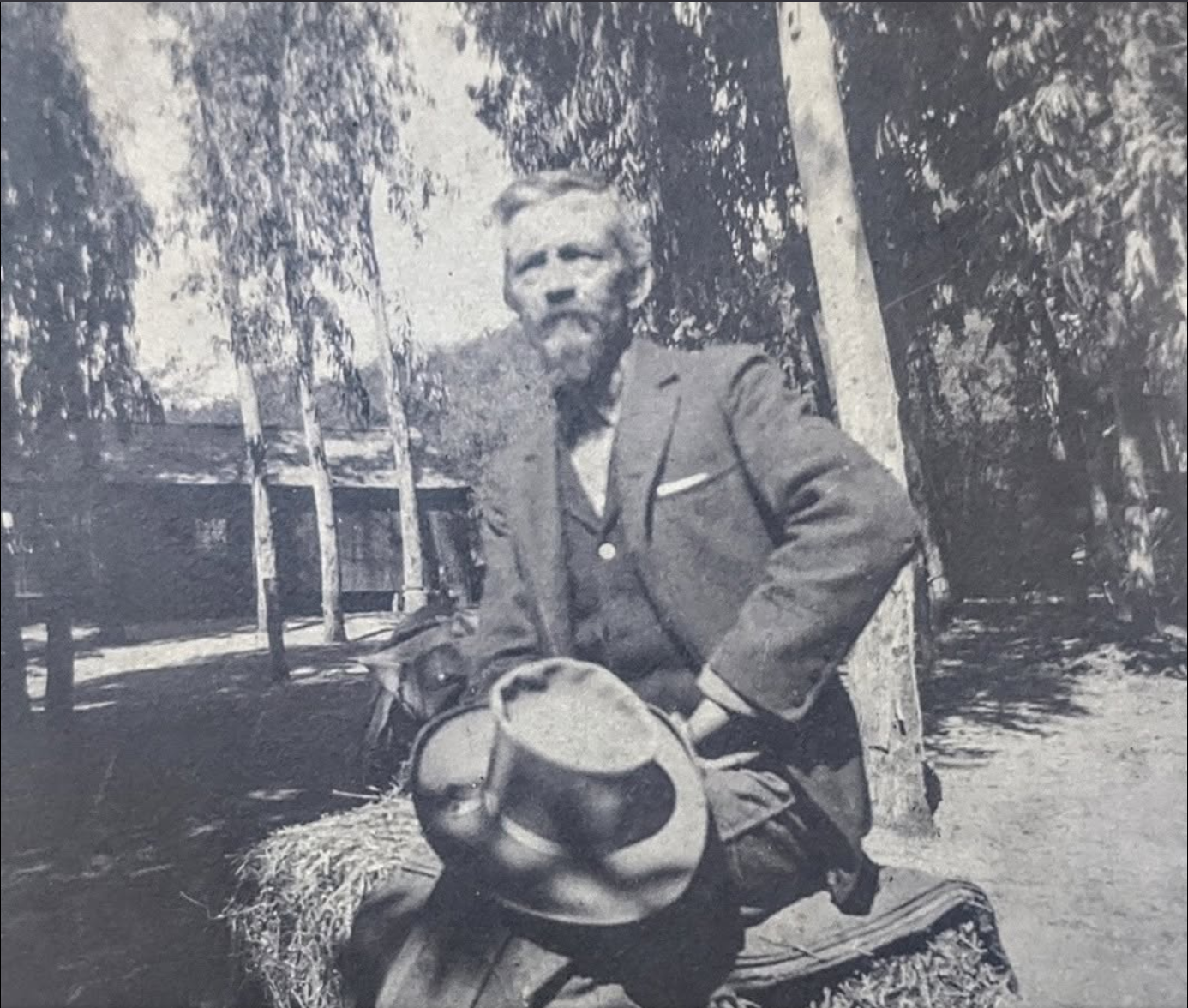
The falls were named after Wilbur M. Sturtevant, a pioneer mountain guide and trail builder who established Sturtevant Camp and helped develop trails throughout the San Gabriel Mountains in the 1890s.
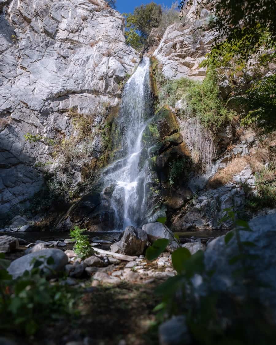
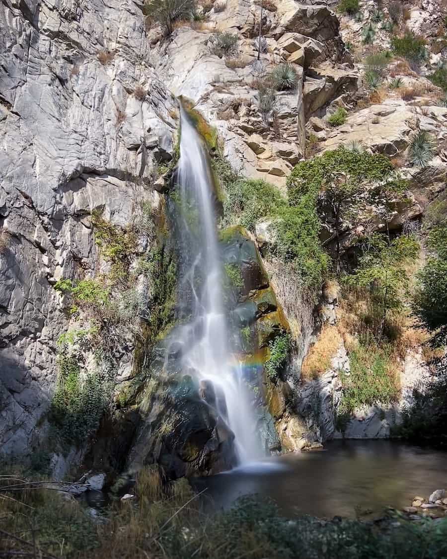
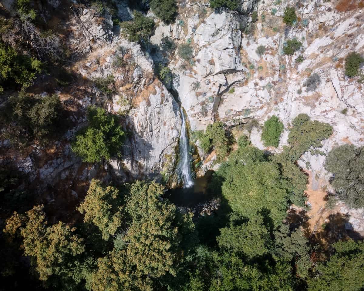
If you look closely, there is a trail winding over the falls on the left side of the stream. This trail leads to Sturtevant Camp and even the Mt Wilson Observatory.
If you haven’t hiked this trail already, I highly recommend giving it a try. Just remember to leave no trace and avoid playing loud music so others can enjoy their time in the great outdoors as well. Have fun!
FAQ’s
Can You Swim At Sturtevant Falls?
Unfortunately, the waterhole only gets as deep as 4 feet, so I guess you can call that swimming? For most people, however, I’d say no. Needless to say, no cliff jumping allowed unless you have a death wish.
How Big Is The Waterfall?
Sturtevant Falls is approximately 50 feet high.
Is There Shade On The Trail?
Yes, actually. Roughly 2/3 of the trail is covered in shade.
Parking Fee & Permit?
The daily parking permit costs $5, and it can be purchased at Adam’s Pack Station located adjacent to the parking lot. You can also purchase an annual pass (Adventure Pass) for $30 and get a 2nd optional one for an extra five bucks. I recommend buying the annual asap as word on the street is prices might go up very soon! Adam’s Pack Station also doubles as a cafe so stop by for some delicious food after your hike.