
- Miles: 1.7
- Time: 35 min
- Difficulty: Easy
- Best Season: All Year
- Elevation Gain: 80 ft
- Max Elevation: 490 ft
- Type of Trail: Loop
- Parking Lot: Fits ≈ 30 cars
- Dogs: Allowed On A Leash
- Restrooms: Not Available
- Trail Popularity: Moderate
- Pics Taken On: Apr 15, 2023
Although smack-dab in the middle of a city, Oso Creek Trail is nevertheless a must-do walking garden for the whole family.
Oso Creek Trail is a fun walk which loops around the creek and features multiple park landmarks, such as a Peace Obelisk and Plant Maze. Roughly half the hike is on a concrete path while the second half is on a dirt road, and a myriad of vibrant plants decorate the ecosystem in various colors, resembling an arboretum. The creek has running water year-round.
Want to view more hikes in Orange County? Check out the full list below:
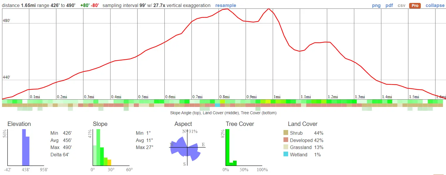
Oso Creek Trail Map
Directions
Click the link to be redirected to the Oso Creek Trailhead via Google Maps.
Helpful Links
Oso Creek Trail
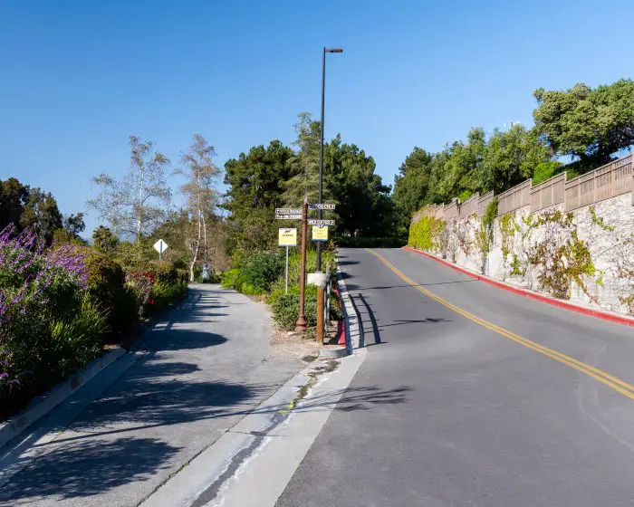
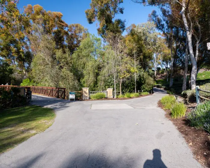
Keep in mind there’s multiple parking lots for this trail, but the trailhead I sent you to will look like the image below.
I stayed to the left to begin the hike.
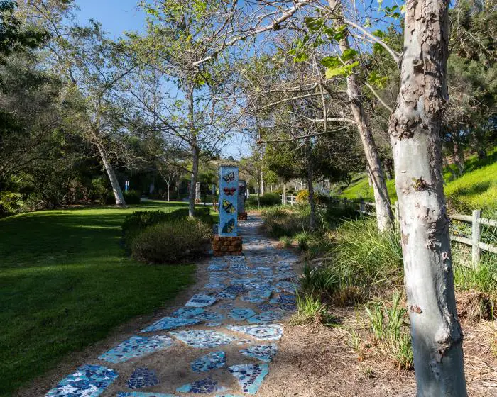
Our first stop was the Celebration Garden with a bright blue path.
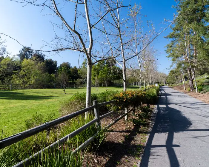
Although the majority of the park is primarily intended for walking, there is a decent sized field for sports.
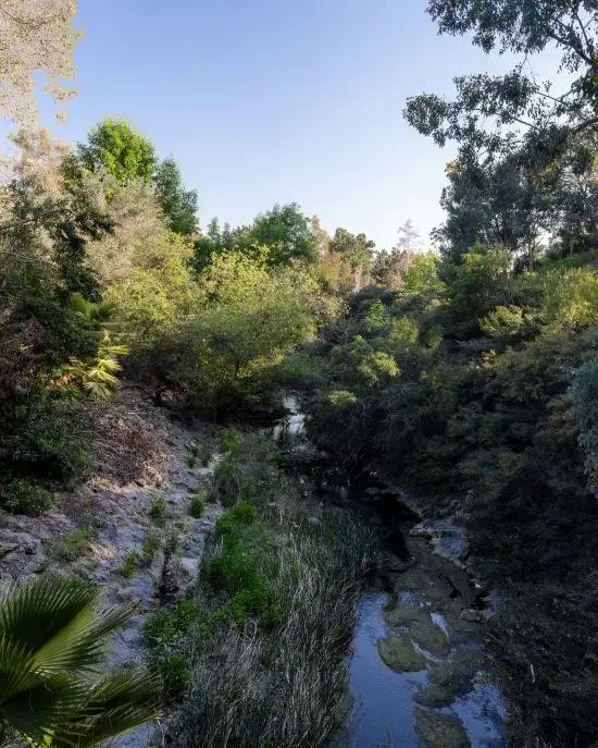
I crossed the bridge at the fork to stay on the trail. The bridge provided nice views of Oso Creek below.
Oso Creek eventually merges with Trabuco Creek.
Fun Fact: A tributary of Trabuco Creek is home to a scenic waterfall that can be reached via a 3 mile hike. Click here to view the falls. Trust me, it’s worth a visit.
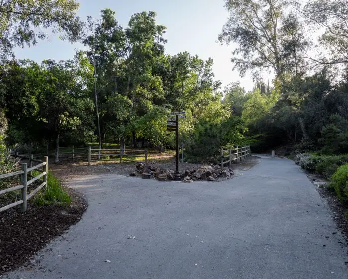
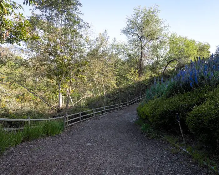
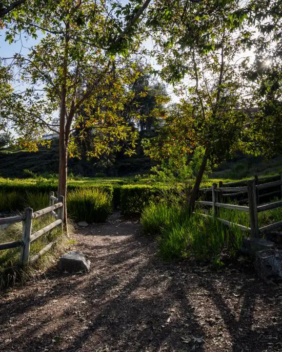
Shortly afterwards I got to another fork and also stayed left.
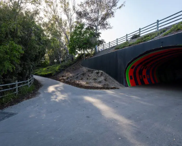
I noticed a painted tunnel on the trail, but I stayed left again. The tunnel provides access to Jeronimo Open Space Park, for those who would like to extend the hike.
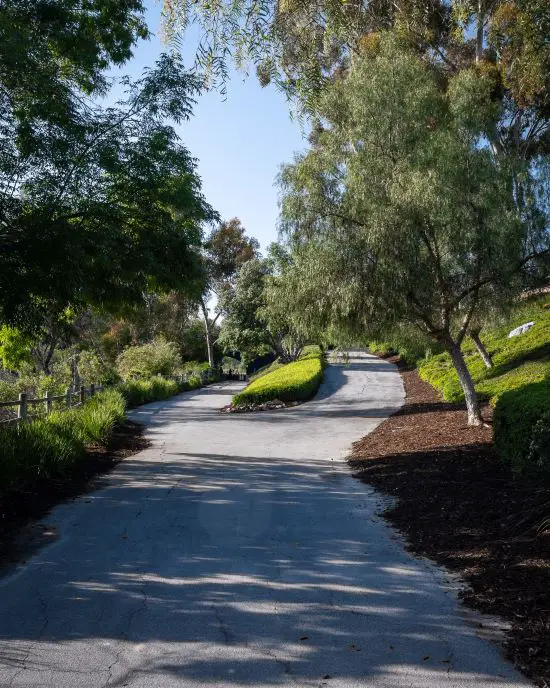
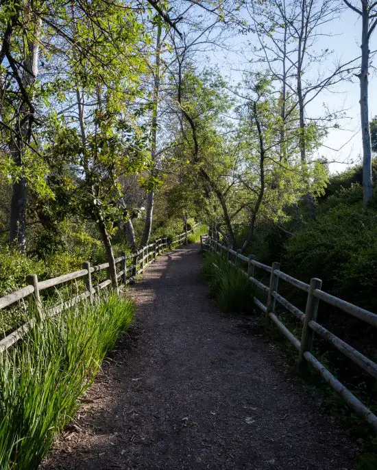
In case you haven’t caught on, it’s all left hand turns at each fork. The concrete road now became a dirt road, and the trail became more scenic.
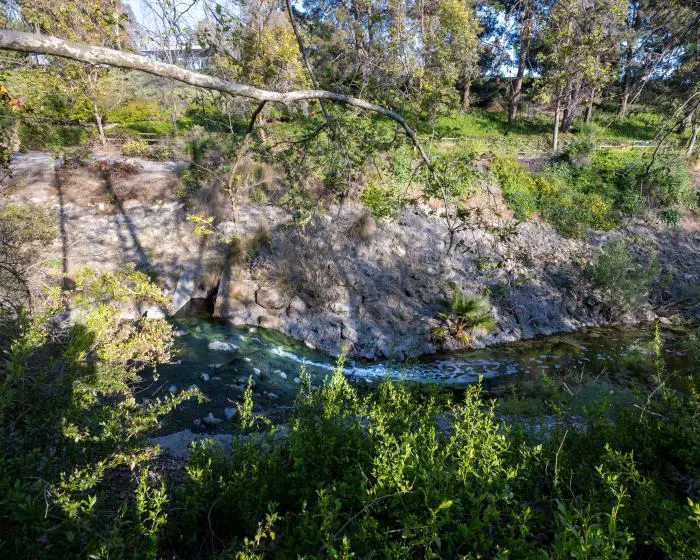
Here’s a shot of the creek. Both riparian and drought resistant plants were planted alongside the creek, such as the popular Sycamore tree whose branch you can see protruding in the image below.
A little detour to the left took us to the Peace Obelisk, which you can see sticking out above the roses.
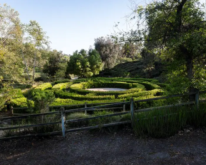
Then we arrived at my favorite part of the trail, the plant maze.
The evening light illuminated the maze, making it look even more amazing. The center of the maze has a sand pit.
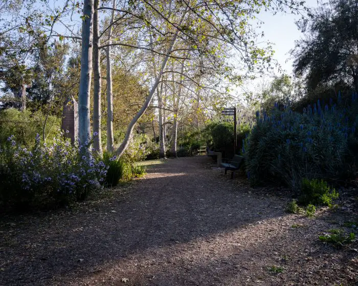
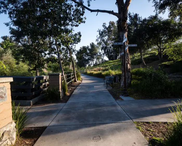
We kept heading down the trail after the maze until we reached a bridge which we had passed by at the beginning of the trail. This will be the last left turn.
However, you can make a right for a detour to the Butterfly Garden.
Here’s another shot of the creek from the bridge.
After we crossed the bridge, we made a right and completed the loop, but of course, no hike is complete without a drone shot.
The creek is running down the middle of the shot, but it’s a bit tough to see because it’s in the shadows.
The peaks in the back are Santiago Peak, the tallest peak in the Santa Ana Mountains, and the second highest peak, Modjeska Peak. Together they’re known as Old Saddleback.

If you like hikes which also offer views of the mountains, click the link Upper Newport Bay, a 5.2 mile hike at a picturesque marshland.


