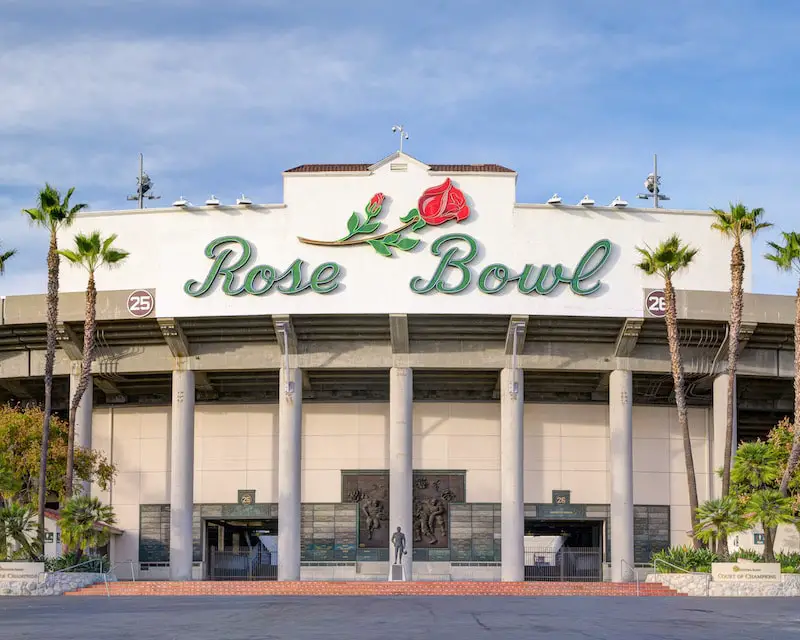
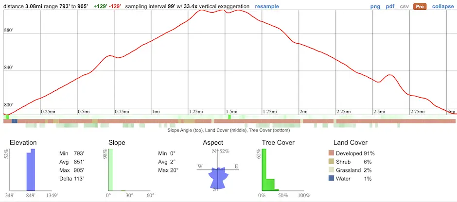
- Total Miles: 3.08
- Time: 1.5 Hrs
- Difficulty: Easy
- Best Season: All Year
- Elevation Gain: 129 ft
- Max Elevation: 905 ft
- Type of Trail: Loop
- Stroller Friendly: Yes
- Parking Lot: Fits ≈ 100+ cars
- Dogs: Allowed On A Leash
- Restrooms: Available On The Lawn
- Trail Popularity: High
- Pics Taken On: Oct 19, 2023
Nestled in the heart of Pasadena, the iconic Rose Bowl Loop offers a picturesque journey through history, nature, and local charm. Every day, people of all ages, shapes, and sizes take to the loop to enjoy the benefits of the outdoors.
The trail is a virtually flat paved road that loops around the stadium, Arroyo Seco Creek, and Brookside Golf Course. Meanwhile, the San Gabriel Mts form a stunning backdrop and the hills surrounding the area give the area a mountain town type of feeling.
The Rose Bowl loop is one of the most popular trails in Pasadena, but it’s far from the best. To explore large waterfalls, abandoned gold mines, and epic mountain views, click the link below:
Rose Bowl Loop Trail Map
powered by Advanced iFrame. Get the Pro version on CodeCanyon.
Parking & Directions
The Rose Bowl has multiple parking lots, and all are free, at least on the days when there are no events happening. Although it doesn’t matter where you begin the hike, the following link will take you to Lot I, which is across the street from the front of the Rose Bowl Stadium:
If the parking lots are full, there are additional dirt lots on the west side of the stadium off of West Dr. which you can view here.
Helpful Links
Rose Bowl Loop Hours
Monday – Sunday
6 am – 7:30 pm
Hiking The Rose Bowl Loop
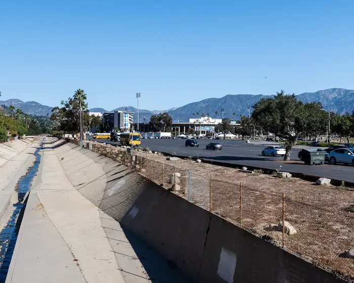
The trailhead is located right over the Arroyo Seco, located on the southwest side of the stadium, as shown in the image below.
Fun fact, Switzer Falls is located in the Arroyo Seco deep in the mountains!
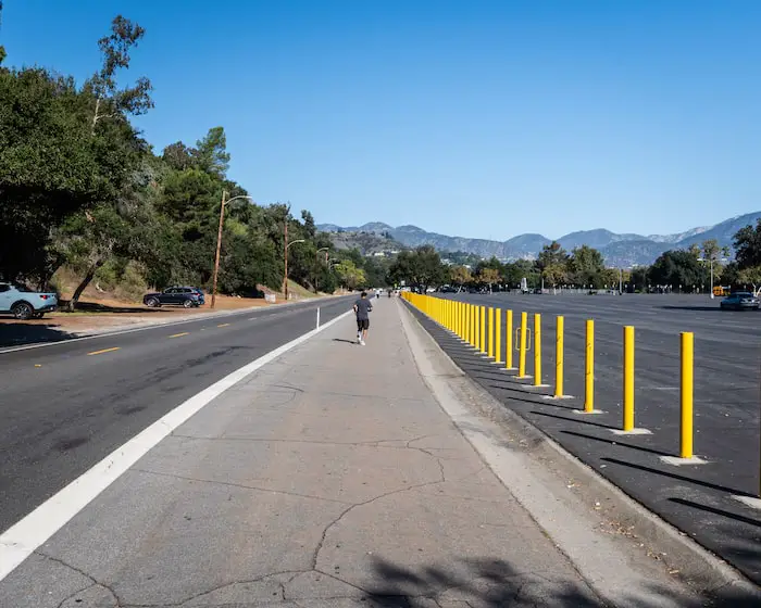
The trail is an extended part of the street for the vast majority of the loop. In this case, the trail is adjacent to West Dr. and is wide enough to be shared by hikers, joggers, and bicyclists traveling in all directions.
Notice the additional dirt parking on the left side of the road.
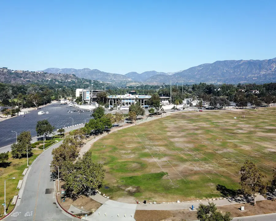
Here’s a shot of the west side of the stadium with the beautiful San Gabriel Mts forming the backdrop.
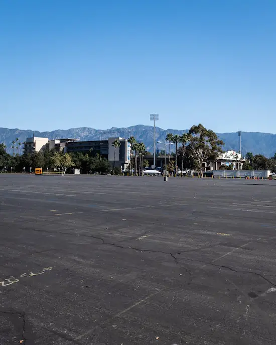
There is virtually no shade, so plan accordingly! As a rule of thumb, you should pack 1 liter of water for every 2 hours of hiking. Since hiking the loop takes about 1-1.5 hours, 1 liter of water should suffice.
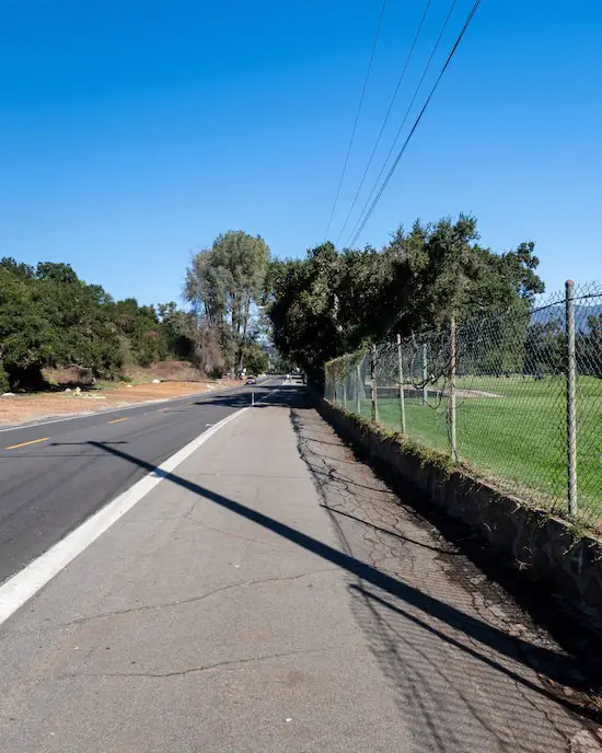
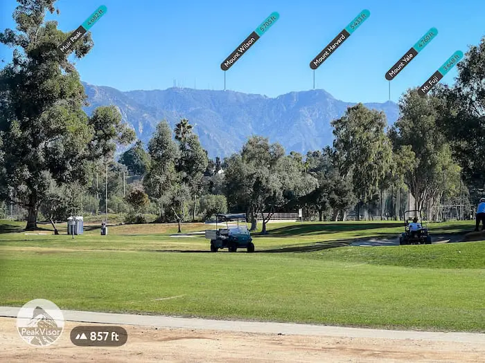
To the north of the stadium is the stunning Brookside Golf Course. Mt Wilson loomed over the surrounding mountain ranges, and I was able to see the white telescopes and radio towers peaking above the ridge.
Check out this nearby waterfall hike. It’s Pasadena’s most popular waterfall.
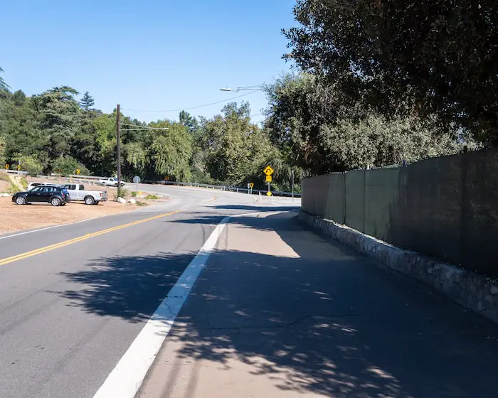
I quickly arrived at the first bend where I made a right onto Washington Blvd.
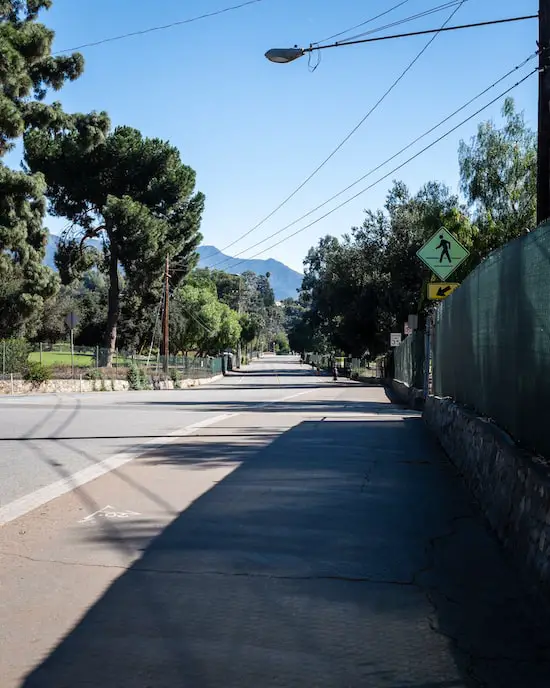
I reached the Arroyo Seco once more and took a short break while admiring the golf course. I was really grateful that it happened to be a classic SoCal sunny day when I visited.
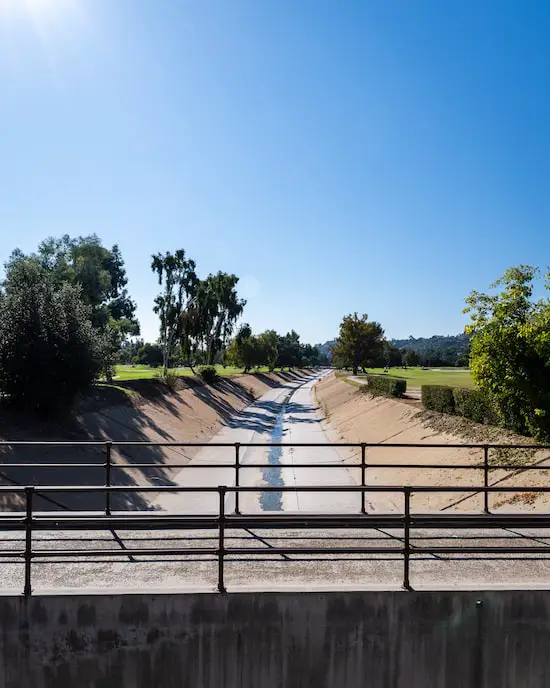
I made a right onto Rosemont Dr to complete the last part of the hike.
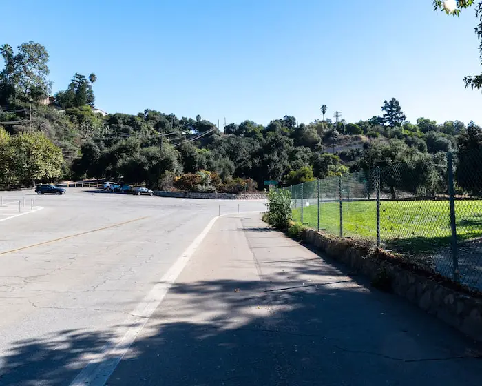
Although highly unlikely, this last section of the trail leaves people prone to getting hit by golf balls. Hence, the large nets in the image below.
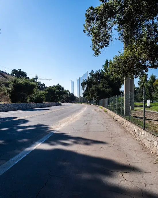
I passed the Brookside Golf Club near the end, and noticed a restaurant in the building. Since they offer takeout, you can place your order shortly after starting the hike and pick it up when you pass by. It doesn’t get more convenient than that!
Here’s the link to their website: Brookside Restaurant. The phone number is (626) 585-3594.
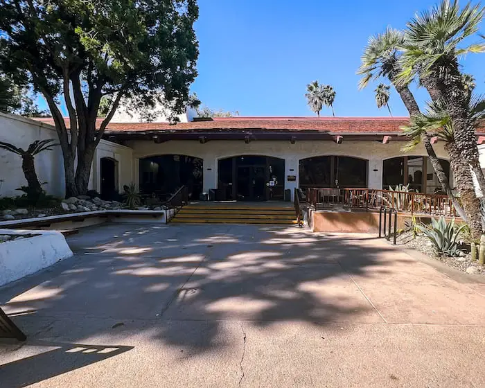
I knew I was almost done with the loop after passing the restaurant and spotting the stadium once again.
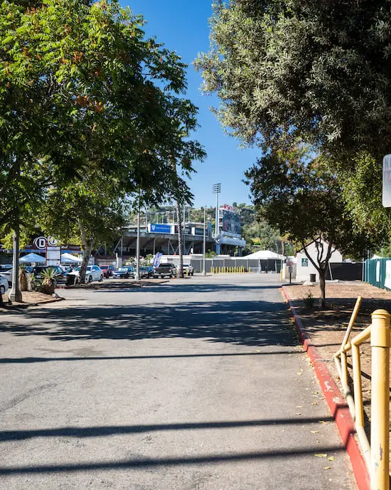
The last section of the trail consists of a sidewalk that leads to the restrooms. Although difficult to see in the image below, the restrooms are in the small building on the lawn which is completely shaded by the Eucalyptus trees.
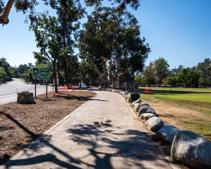
Loop completed!
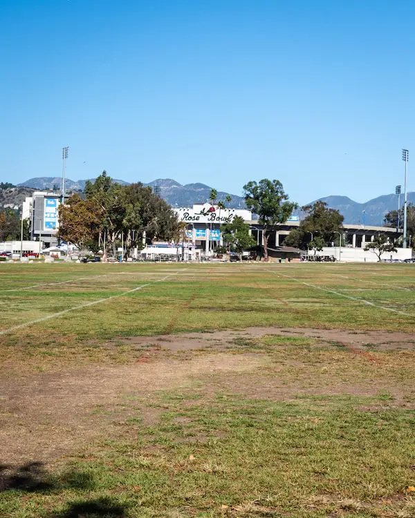
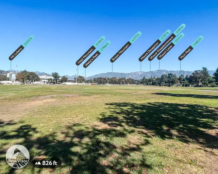
Various peaks can be seen from the lawn, including the famous Mt Lowe and Mt Lukens, both of which are named after the noble patriarchs of Pasadena, Professor Thaddeus Lowe, and ex-mayor Theodore Lukens.
Want to hike Mt Lowe Peak and enjoy amazing views? Check out the guide right here.
Lukens was responsible for creating a forest nursery in 1892 right above Eaton Canyon that is still! Click the following link to hike to the nursery and explore its museum.
FAQs
How Long Is The Loop Around The Rose Bowl?
The Rose Bowl Loop is a total of 3.08 miles.
Can You Run Around The Rose Bowl?
Running is very common and by no means an issue while on the Rose Bowl Loop.
Can You Bike Around The Rose Bowl?
Many people can be found biking the Rose Bowl Loop.
What Are The Rose Bowl Loop Hours?
The Rose Bowl Loop is open daily from 6 a.m. to 7:30 p.m.
Is The Rose Bowl Loop Stroller Friendly?
The Rose Bowl Loop is very stroller-friendly. The entire trail is part of a virtually flat paved road.
Is The Rose Bowl Open During Events?
The Rose Bowl Loop sometimes closes depending on the event. The loop was closed on my first visit as Coldplay was performing the same day. To make sure the loop is open, check the website under Helpful Links near the top of this post.

