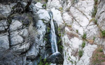
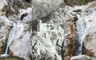
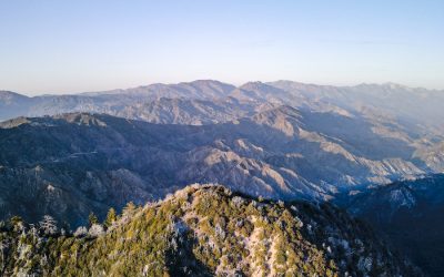
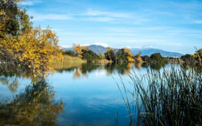
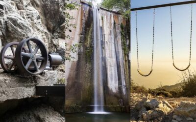
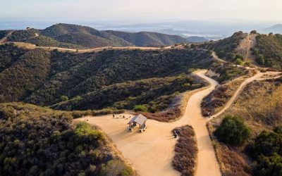
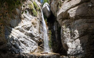
Total Miles: 2.27 Time: 1 Hr Difficulty: Moderate Best Season: Spring Elevation Gain: 206 ft Max Elevation: 798 ft Type of Trail: Out & Back Parking: Street Parking Dogs: Not Allowed Restrooms: Not Available Trail Popularity: High Pics Taken On: Feb 8, 2024 Santa...
[favorite_button]

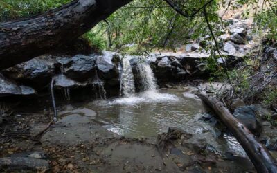
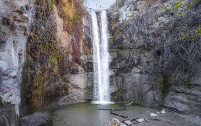
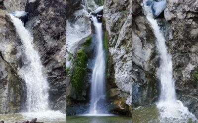
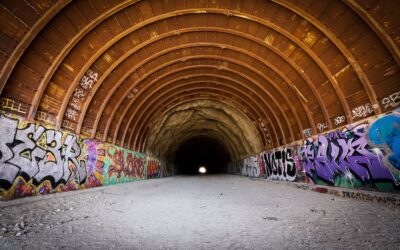
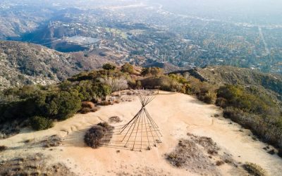
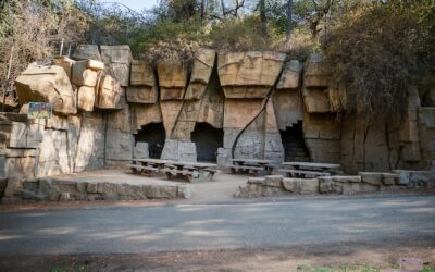
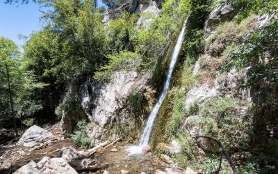
Santa Ynez Falls: Wading, Scrambling & Off-Trail Thrills
read more