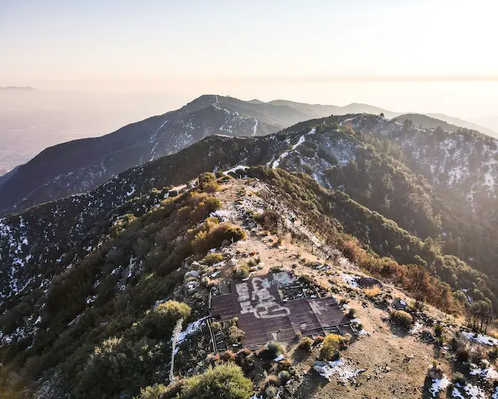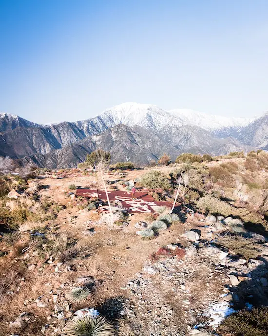
Holy Jim Falls: Plus Rarely Seen 2nd Larger Falls (Closed)
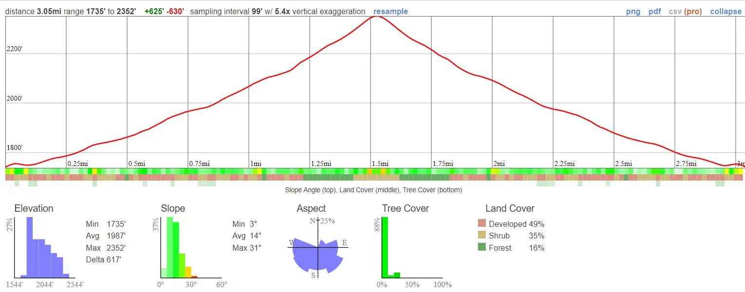
- Miles: 3
- Time: 1 Hour
- Difficulty: Easy
- Season: Late Spring
- Elevation Gain: 617 ft
- Max Elevation: 2352 ft
- Trail Type: Out & Back
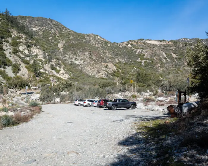
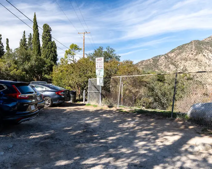
- Parking Lot: Dirt Lot, Fits ≈ 20 Cars
- Restrooms? 1 Porta Potty Available
- Dogs Allowed? Yes, on a leash
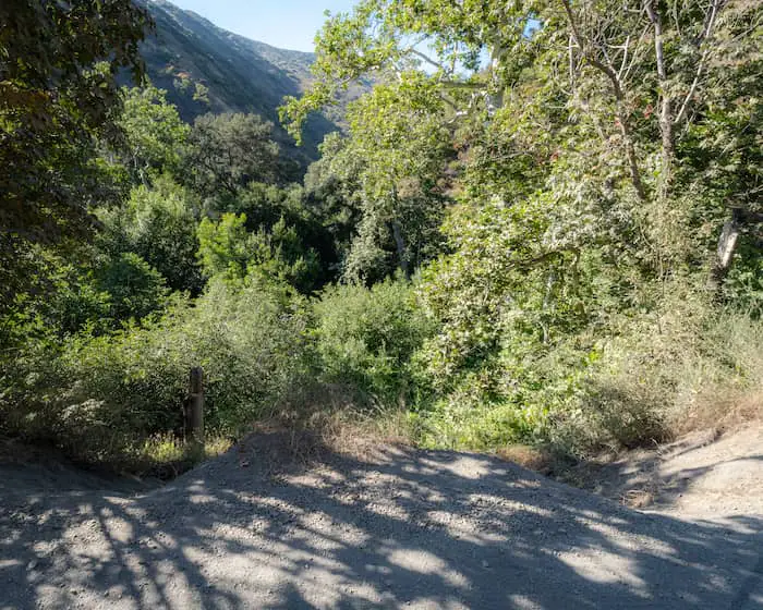
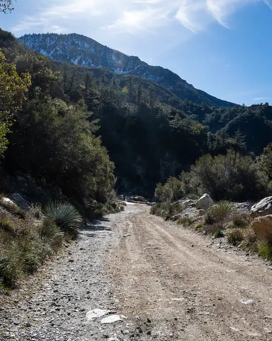
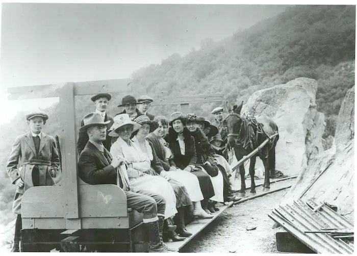
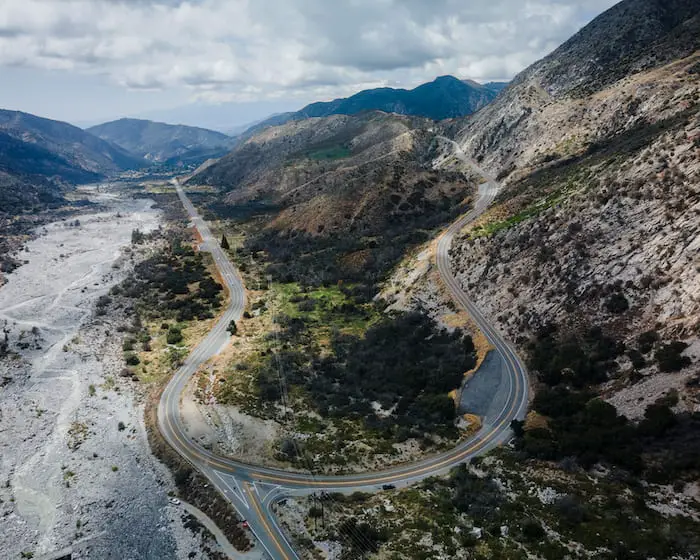
What can possibly be better than hiking to a waterfall? How about over 4 miles of off-roading before you even get to the trailhead.
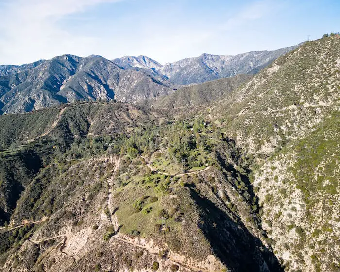
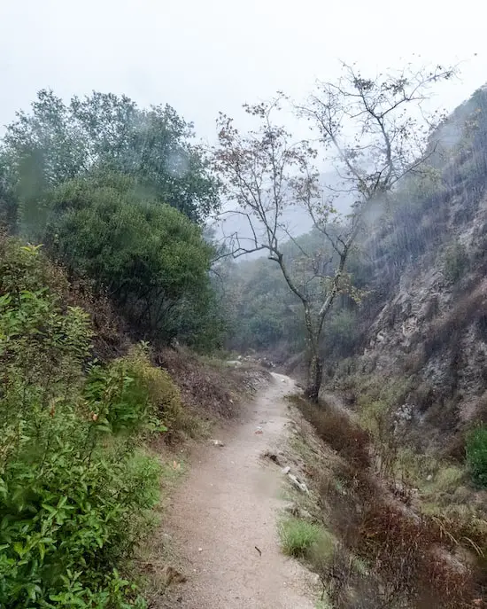
Holy Jim Falls is a roughly 20 foot waterfall named after the canyon it’s in, a tributary which connects to the much larger, Trabuco Canyon. The trail features abundant vegetation and multiple creek crossings, but is still easy enough for the whole family. Getting to the trailhead requires 4.6 miles of off-roading via Trabuco Creek Rd. Although 4×4 is not necessary, a high clearance vehicle is highly suggested.
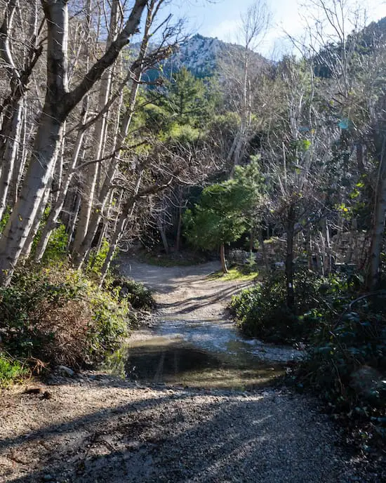
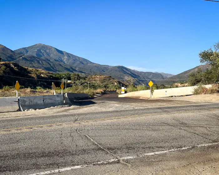
Below is the beginning of the off-roading section.
For a complete list of hikes in Orange County, check out the following link:
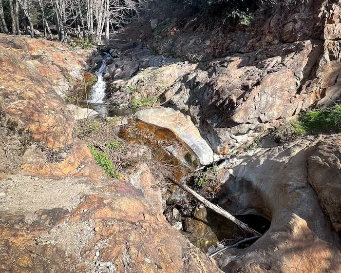
Fun Fact: There is another much larger and rarely-seen waterfall located further up the canyon, but thanks to my drone, I was able to take a few shots to share with you, so be sure to stick around until the end.
Trail Map
How To Get To Holy Jim Trail
To be redirected to the Holy Jim Falls parking lot via Google Maps, click the link here.
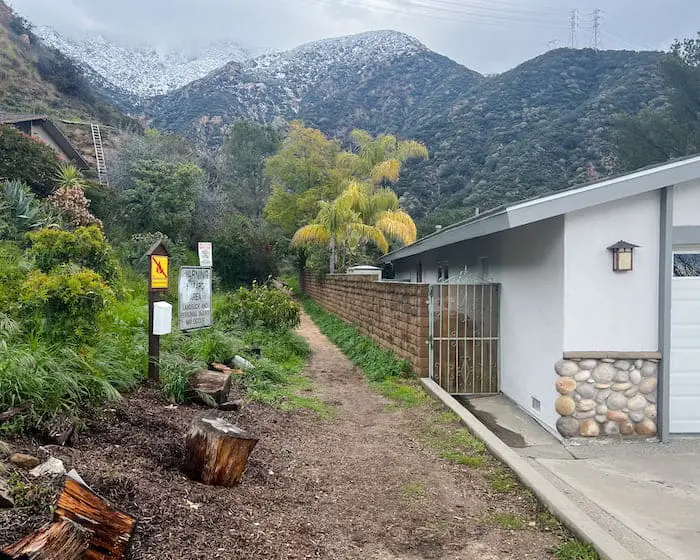
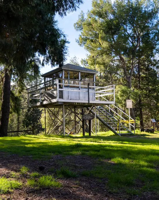
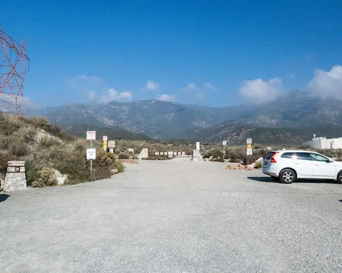
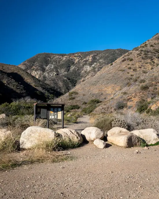
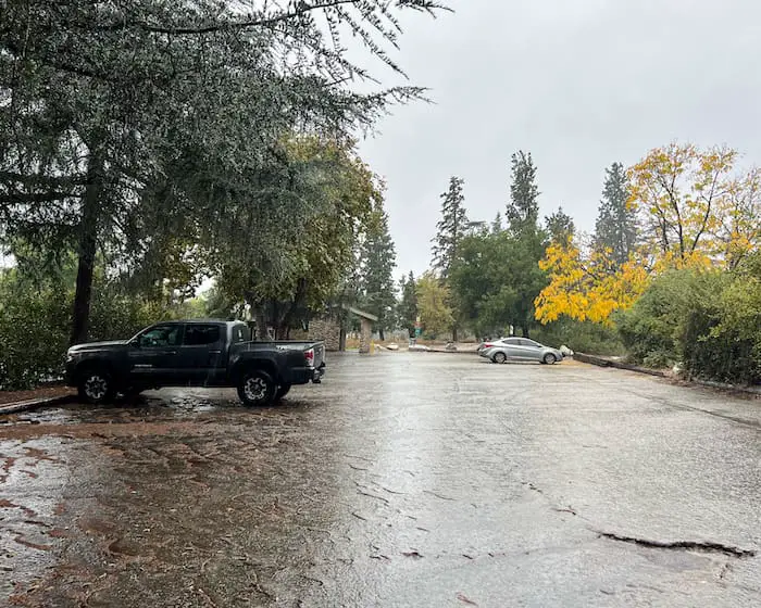
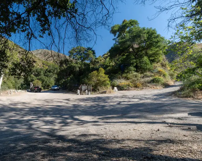
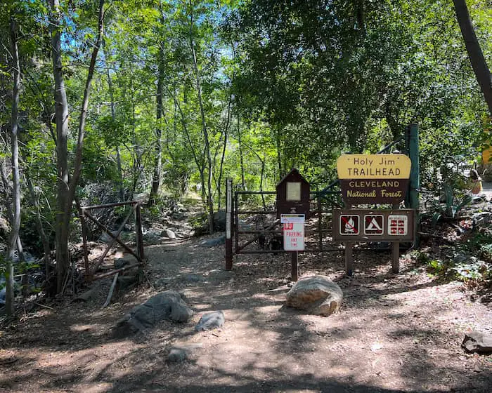
The parking lot is located at the intersection of Holy Jim Canyon Rd & Trabuco Canyon Rd. From there, you’ll have to hike up Holy Jim Rd (multiple private homes are located here so please be respectful) for a few minutes, to reach the actual trailhead.
Holy Jim Falls Trail
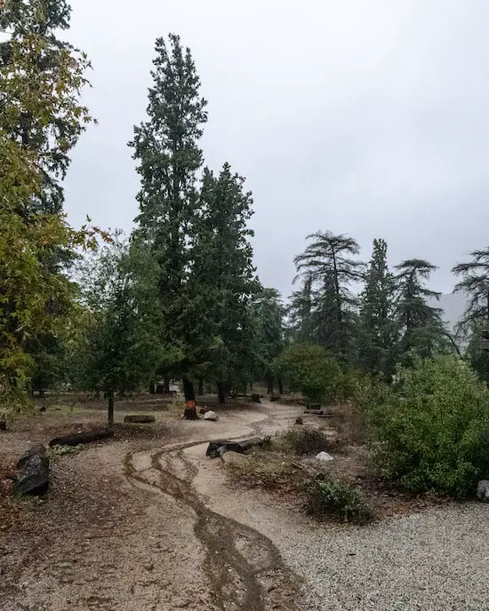
Two different roads split off from the dirt parking lot, so be sure to hike up the road to the left.
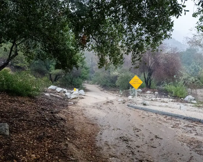
Although the locals placed a road block to prevent vehicles from accessing the road, all hikers were welcomed on foot.
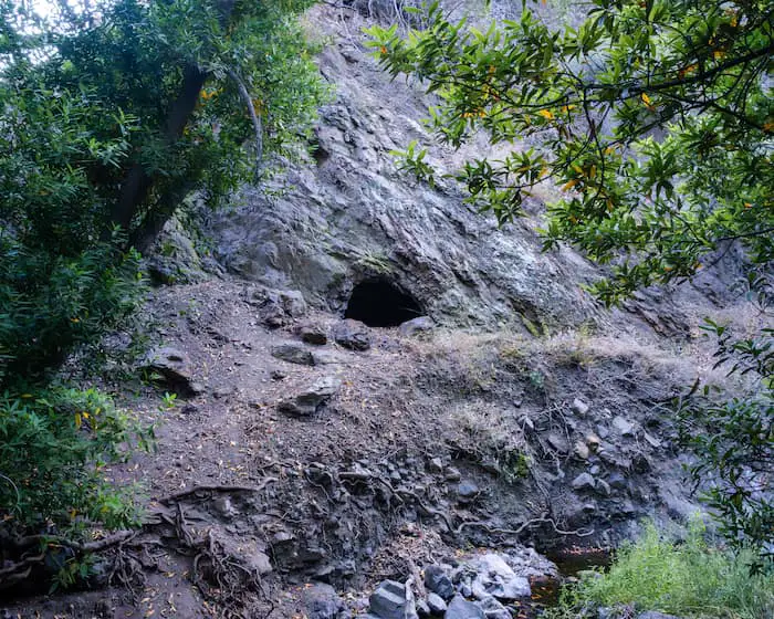
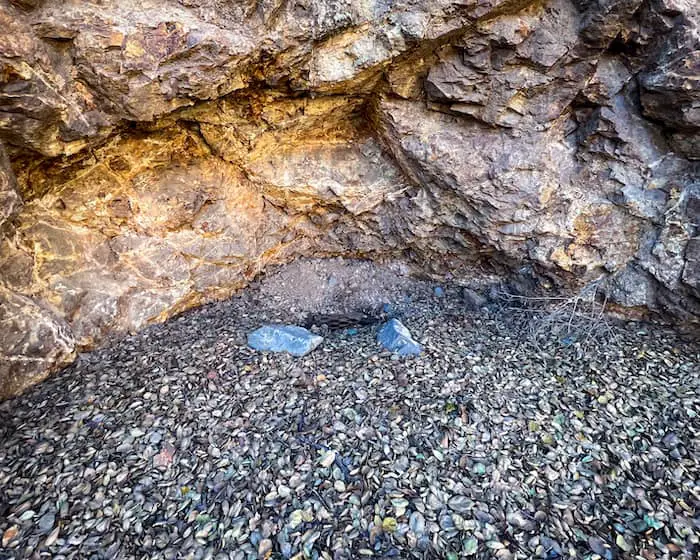
Want to explore a sandstone cave that was once used as a hideout for bandits? Check out The Dripping Cave Trail in Laguna Beach.
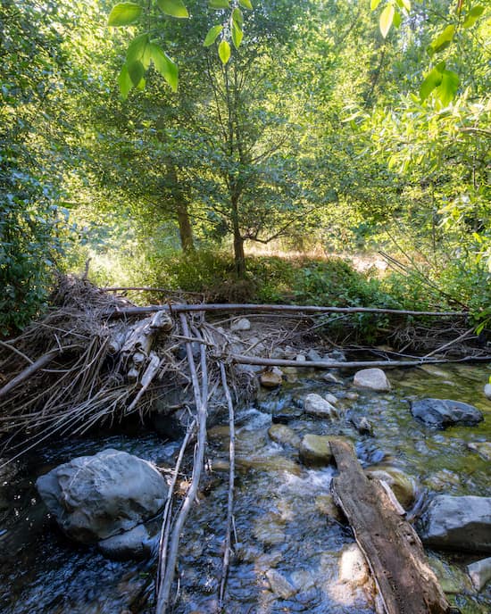
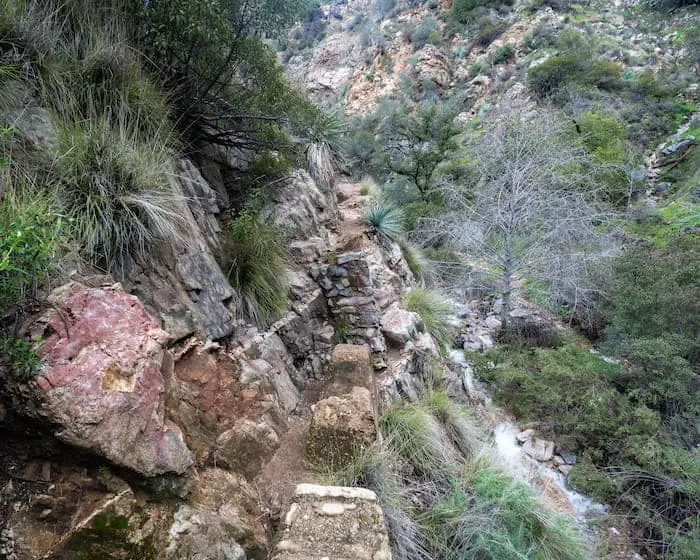
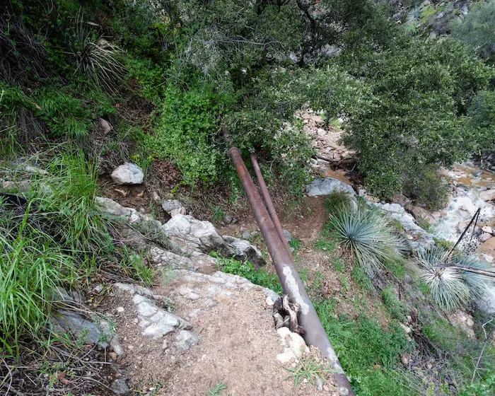
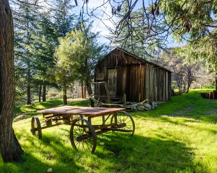
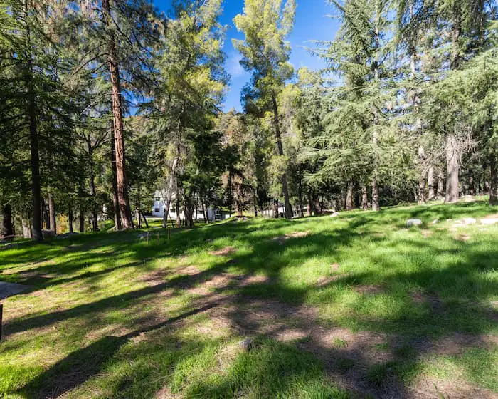
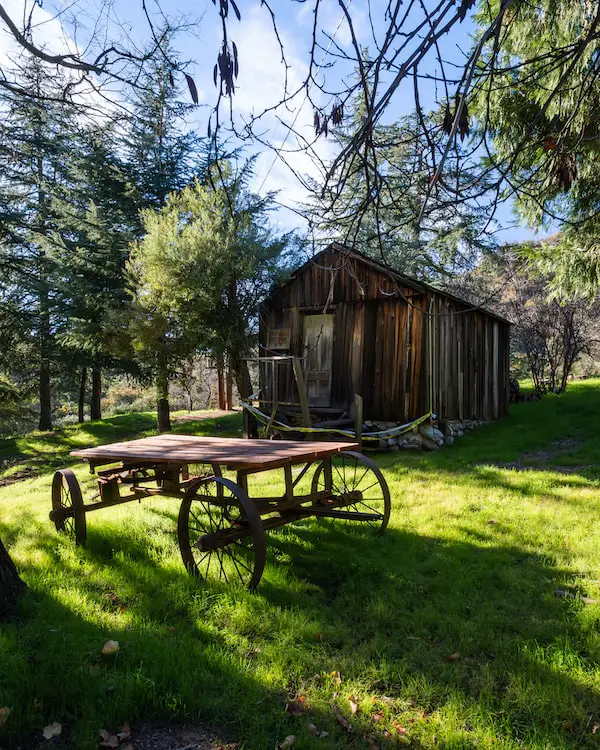
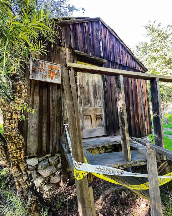
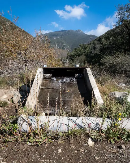
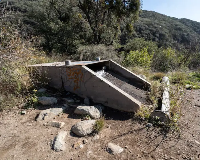
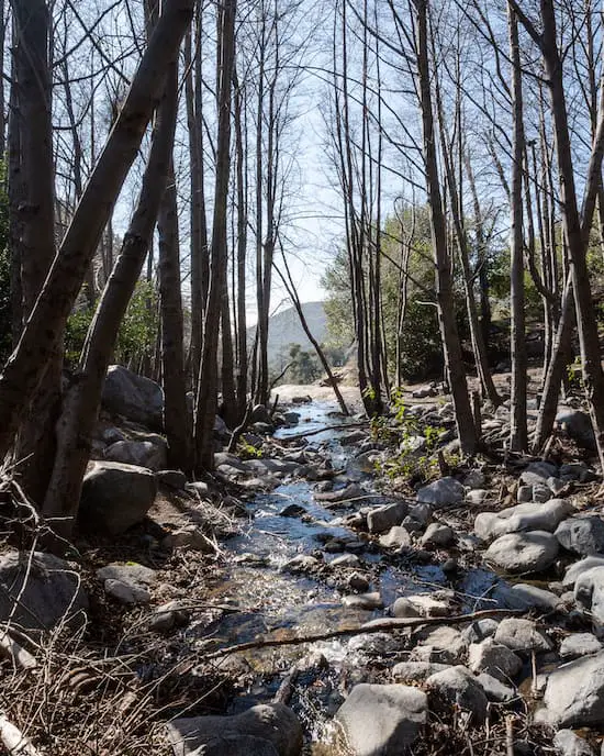
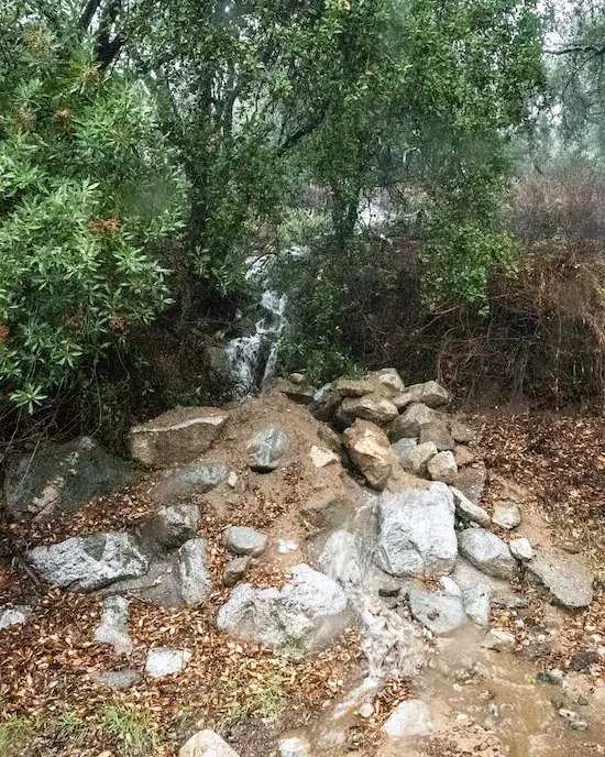
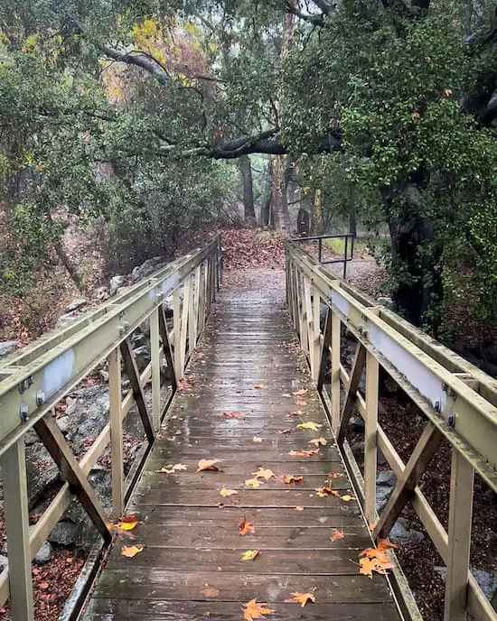
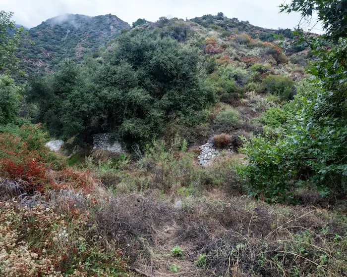
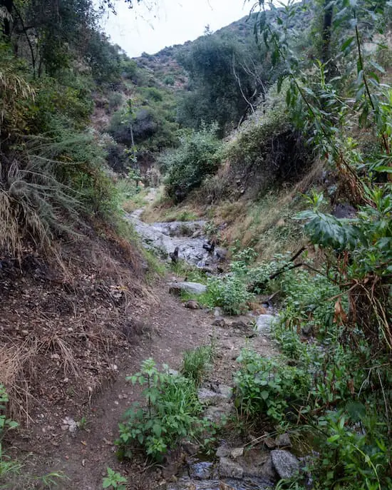
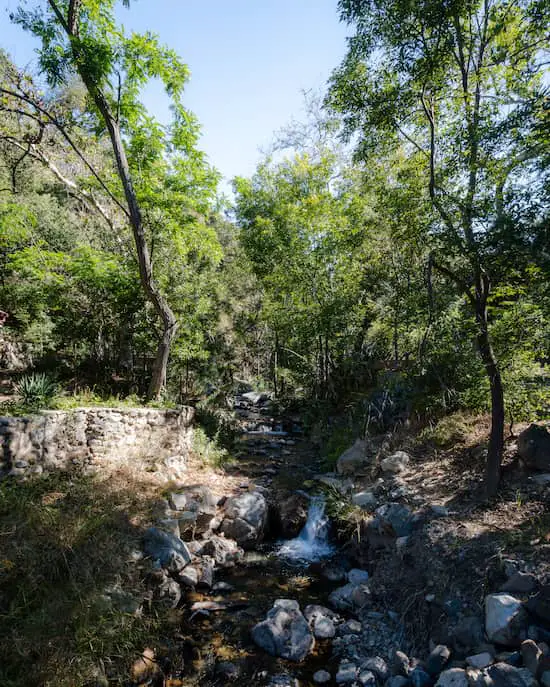
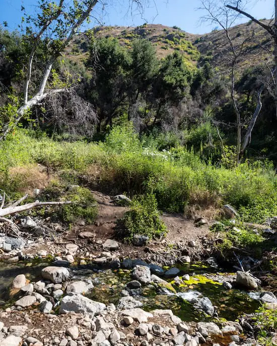
Private cabins marked the landscape while bridges with amazing creek views and small waterfalls made me feel like I was in heaven.
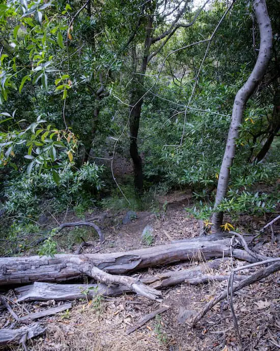
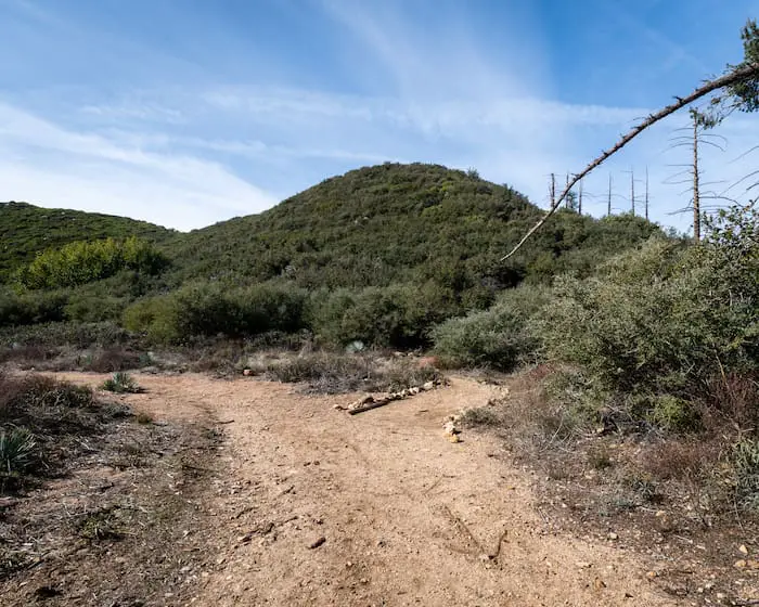
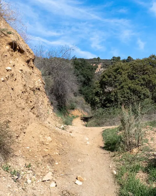
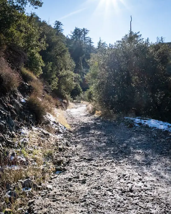
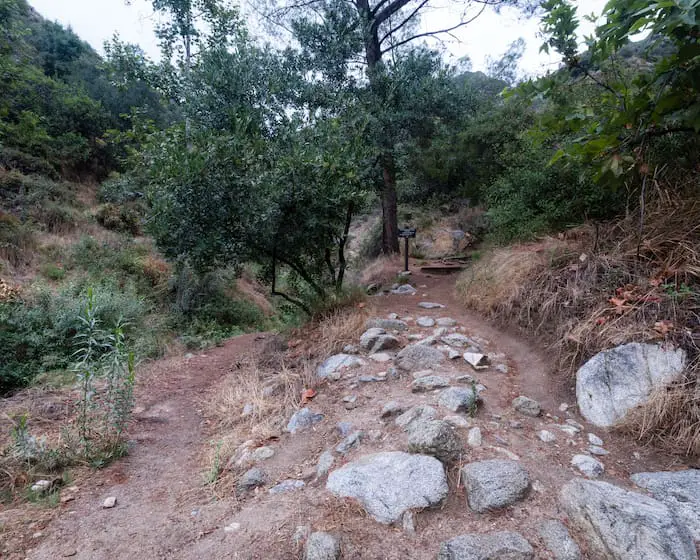
Once the road ended, the actual trail, which was marked by a sign, began.
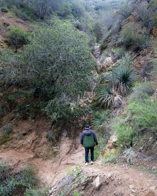
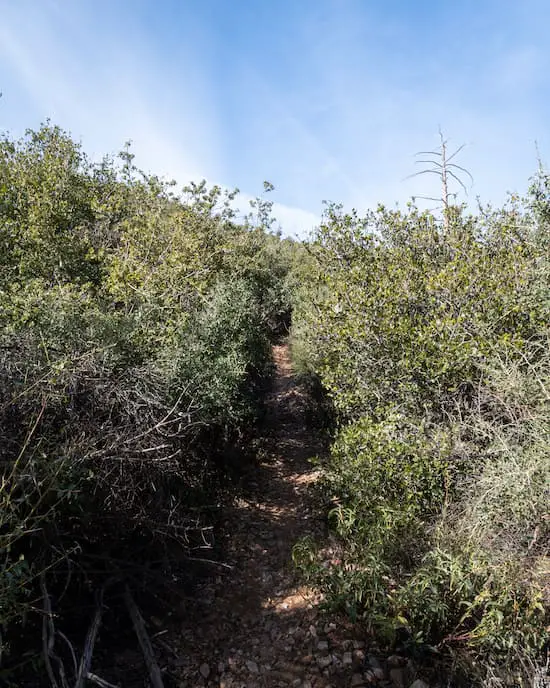
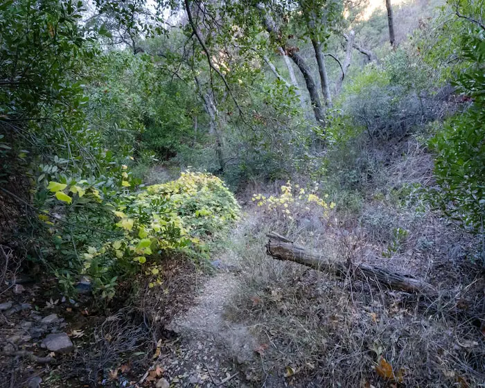
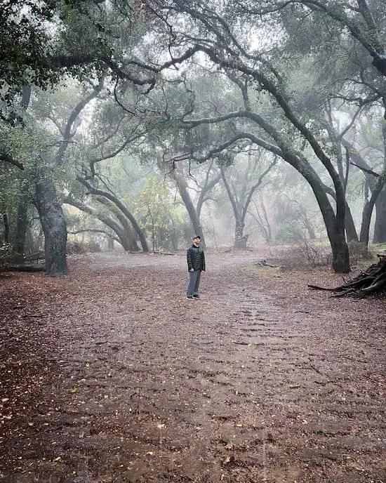
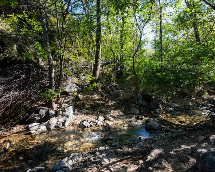
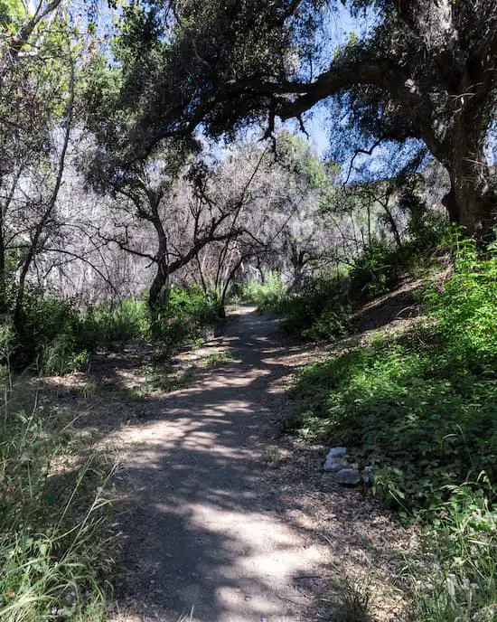
The scenery immediately transformed into a luscious, green-filled vegetation with abundant shade.
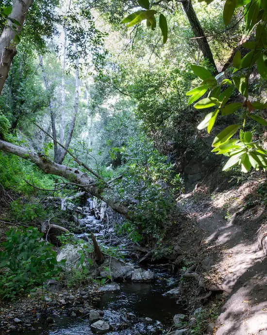
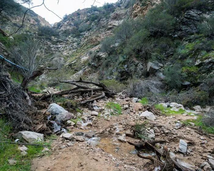
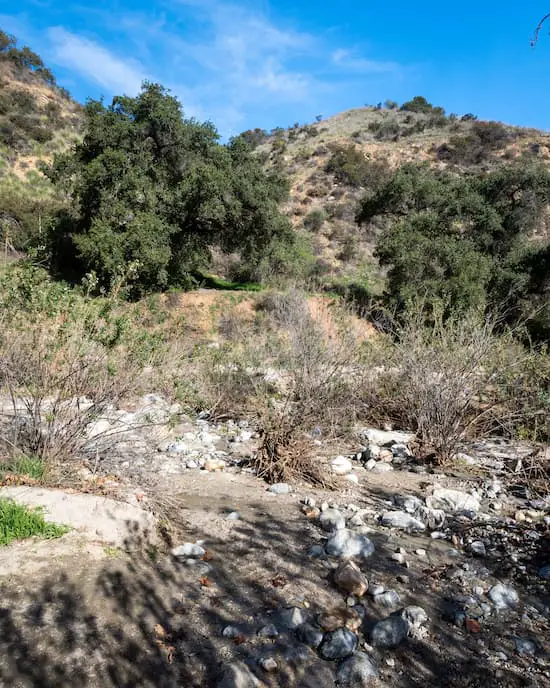
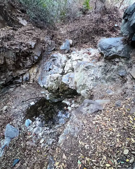
Immediately after walking through the trailhead gate, I came face to face with my first obstacle, a creek crossing.
Fortunately, all creek crossings on this hike are fairly easy and doable by beginners.
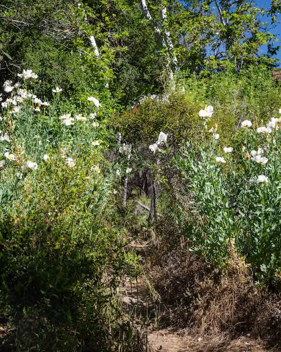
Since I visited in the spring time, vibrant wildflowers decorated trail.
I’m not an expert in mountain flora (yet), but thanks to the app Picture This, which I forgot to use, you can identify all sorts of flowers and trees.
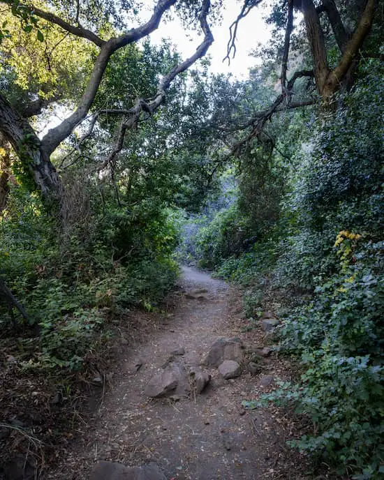
One very popular SoCal tree which I did recognize, however, is the live oak tree.
These trees were abundantly found throughout the Holy Jim Trail, and, in this particular case, were adorned by the invasive Hedera Helix Ivy.
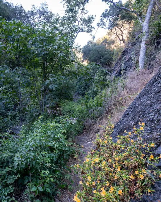
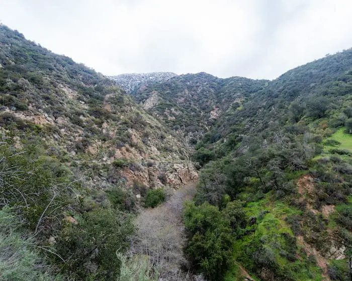
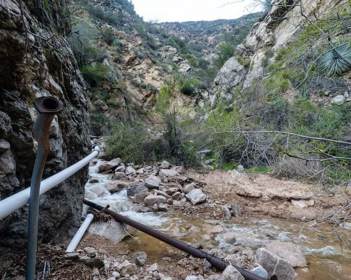
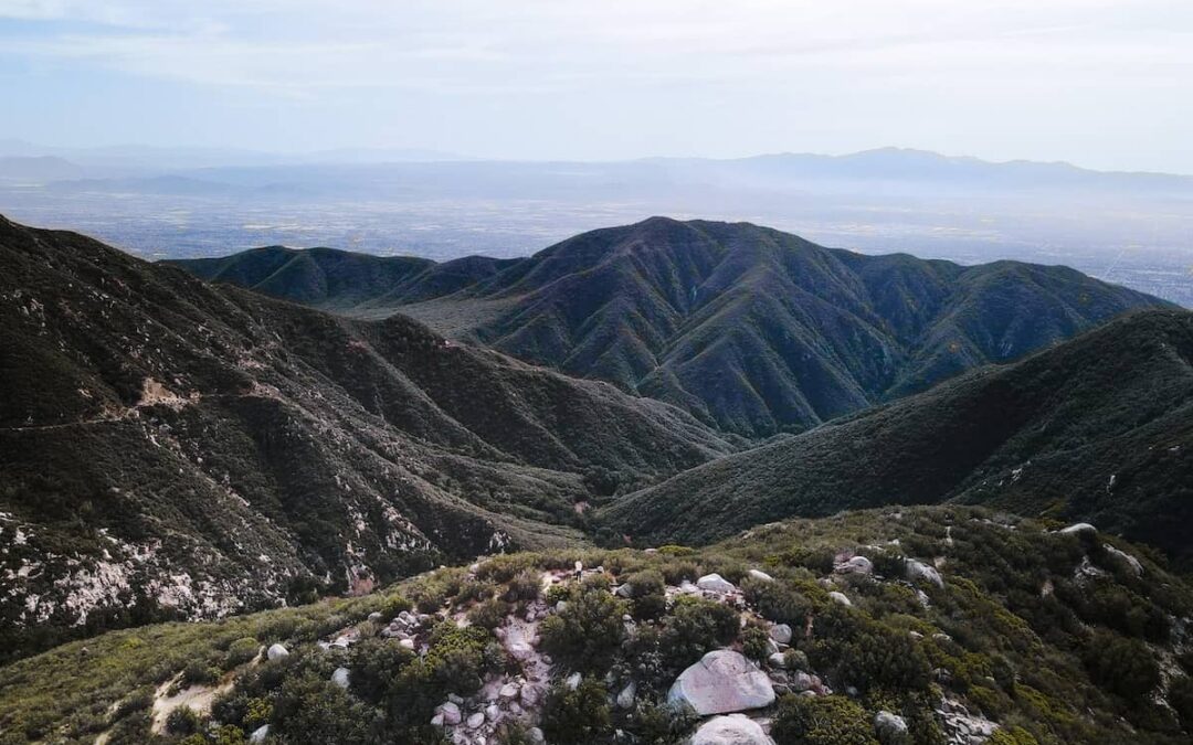
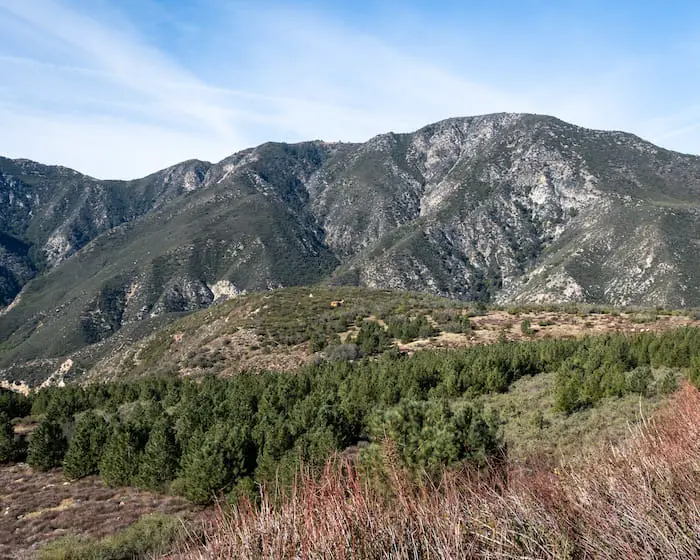
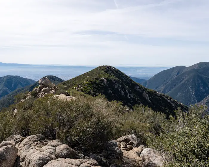
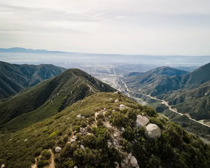
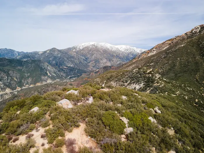
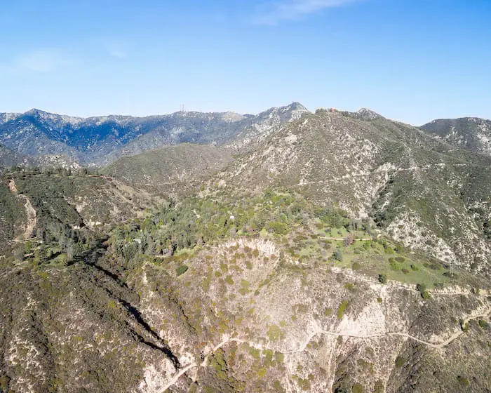
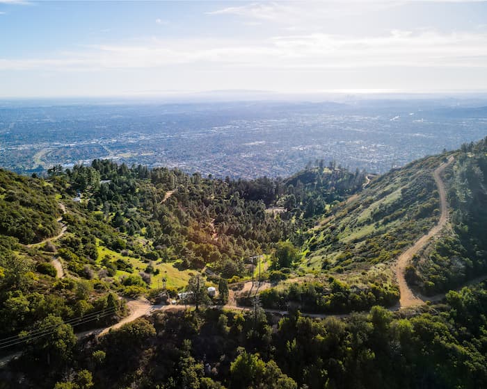
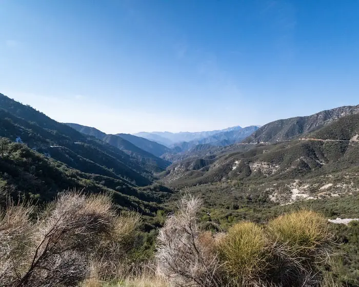
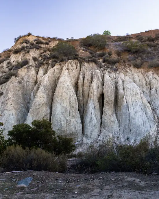
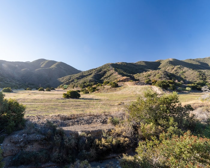
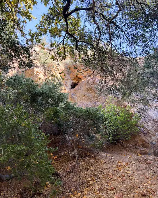
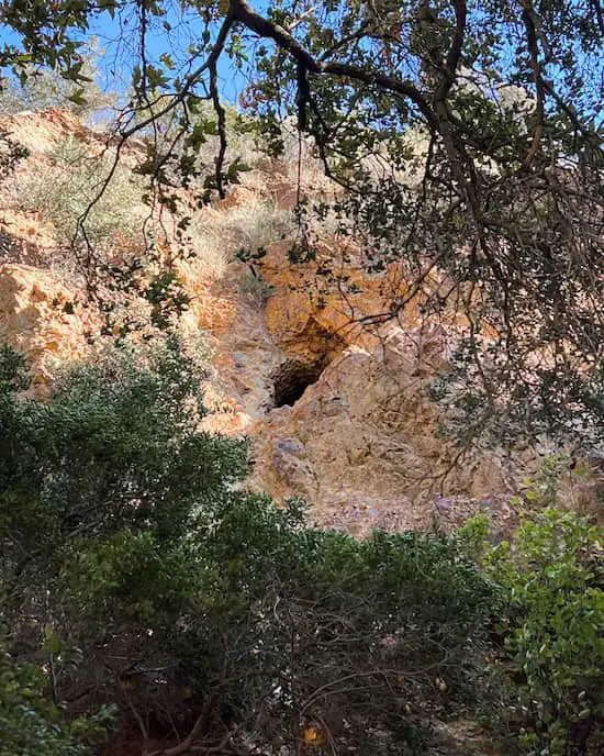
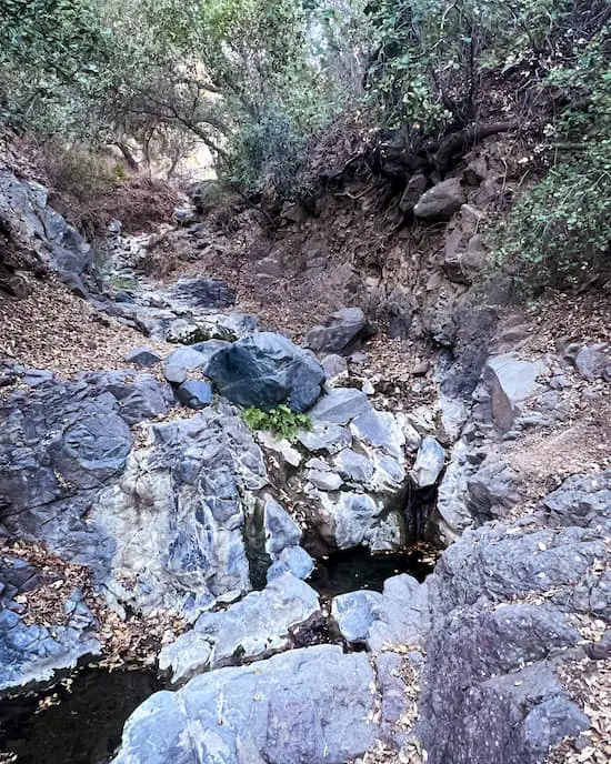
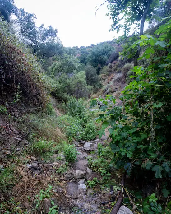
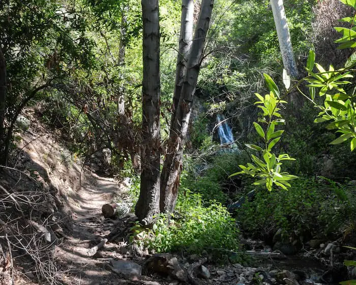
Although much of the trail was shaded, a few sections came to an opening in the forest canopy, and the views didn’t disappoint.
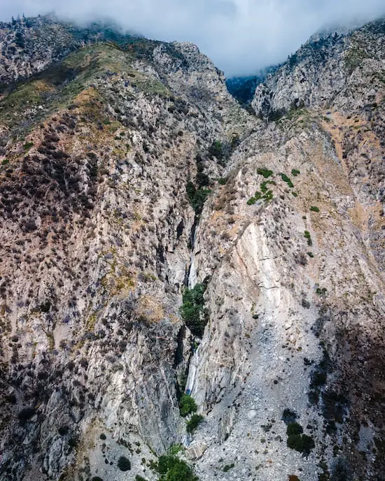
Beautiful mountain ranges surrounded the trail as the moss-covered creek weaved its way through the canyon floor, making me feel like I was hiking deep in the mountains.
Looking for more hikes with amazing views? Check out the Top Of The World in Laguna Beach, arguably the most popular trail in Orange County.
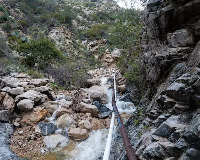
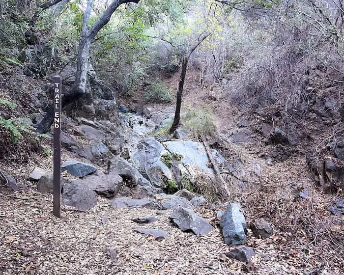
Shortly thereafter, the trail made its way back underneath the trees, and then…
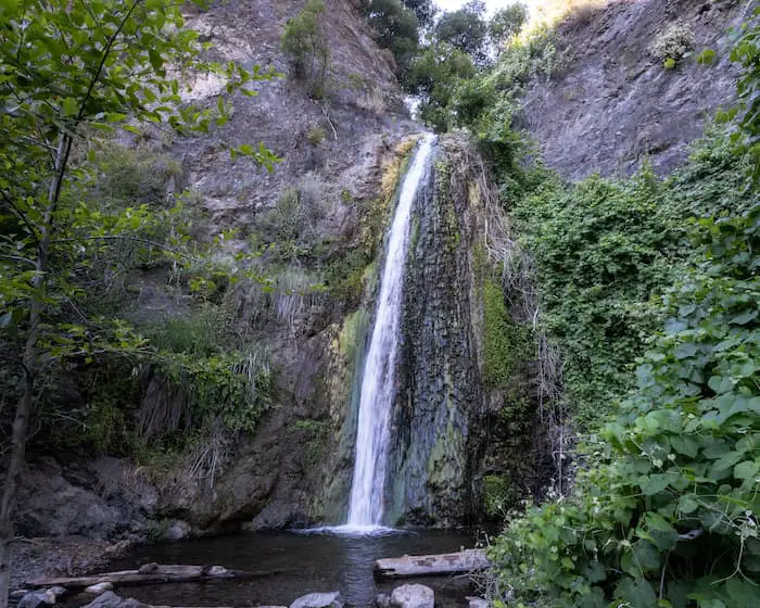
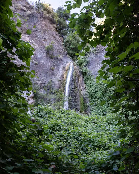
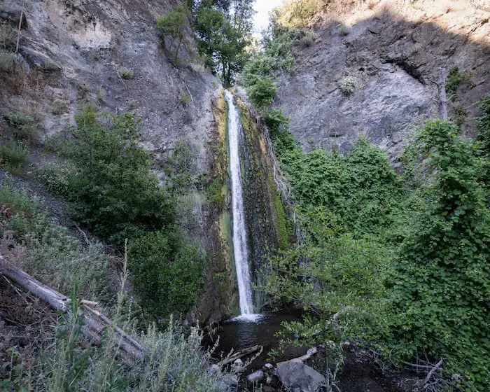
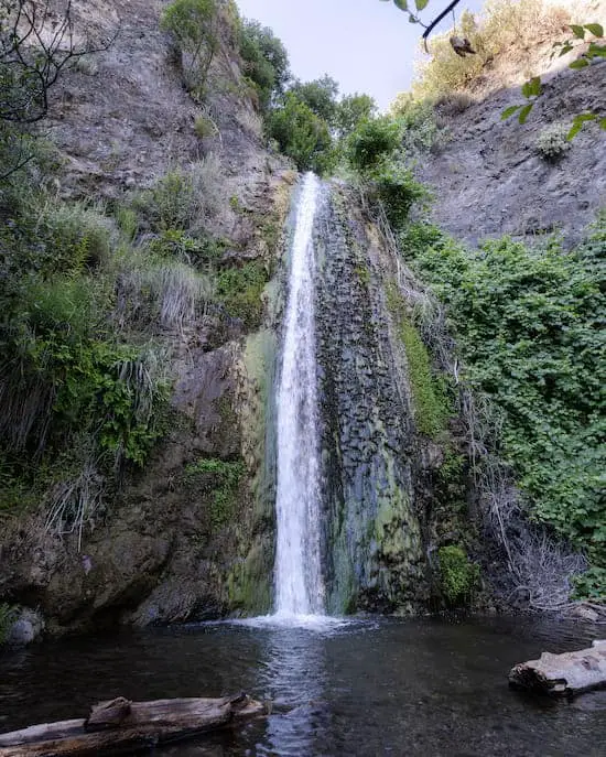
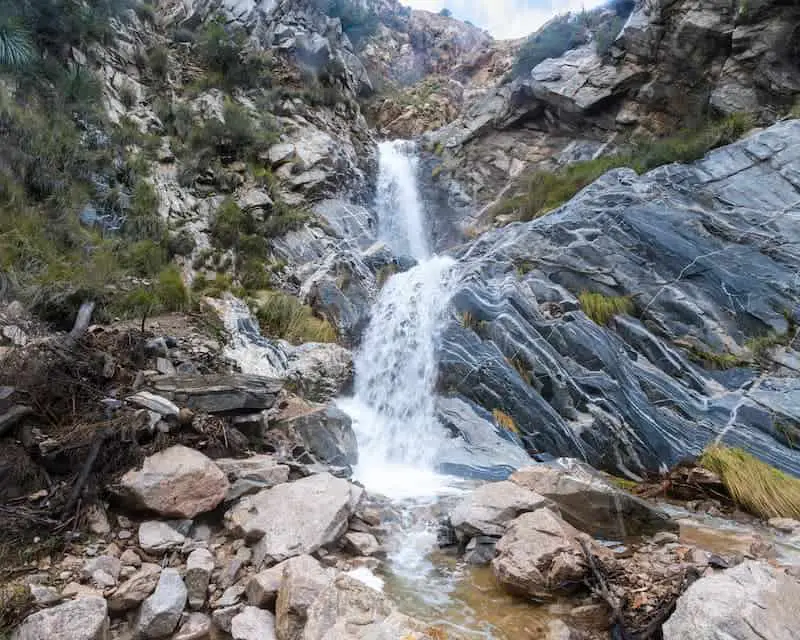
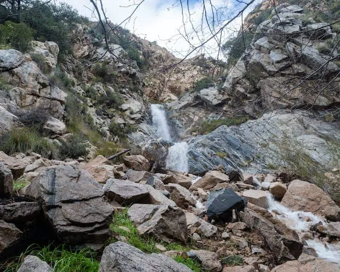
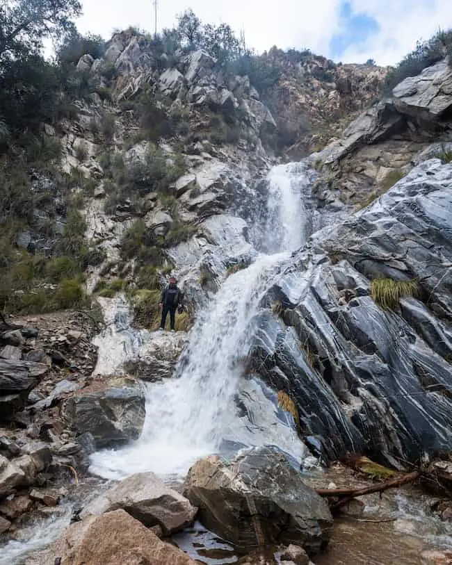
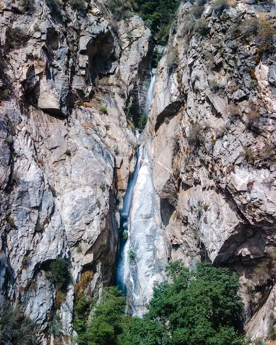
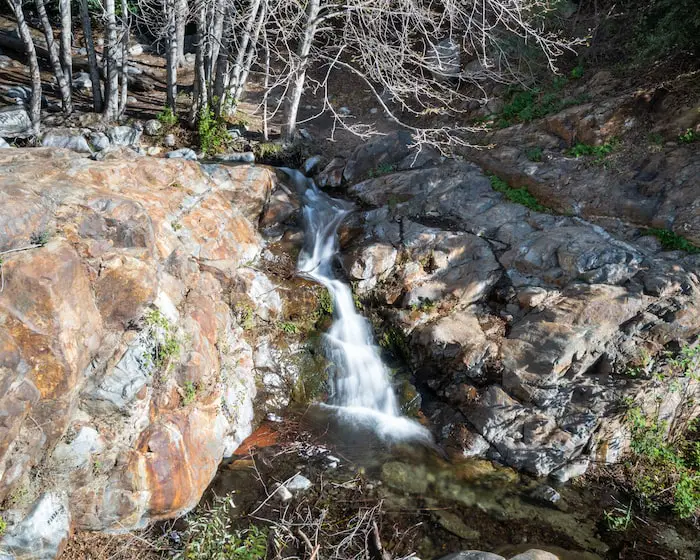
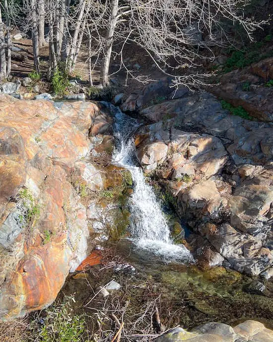
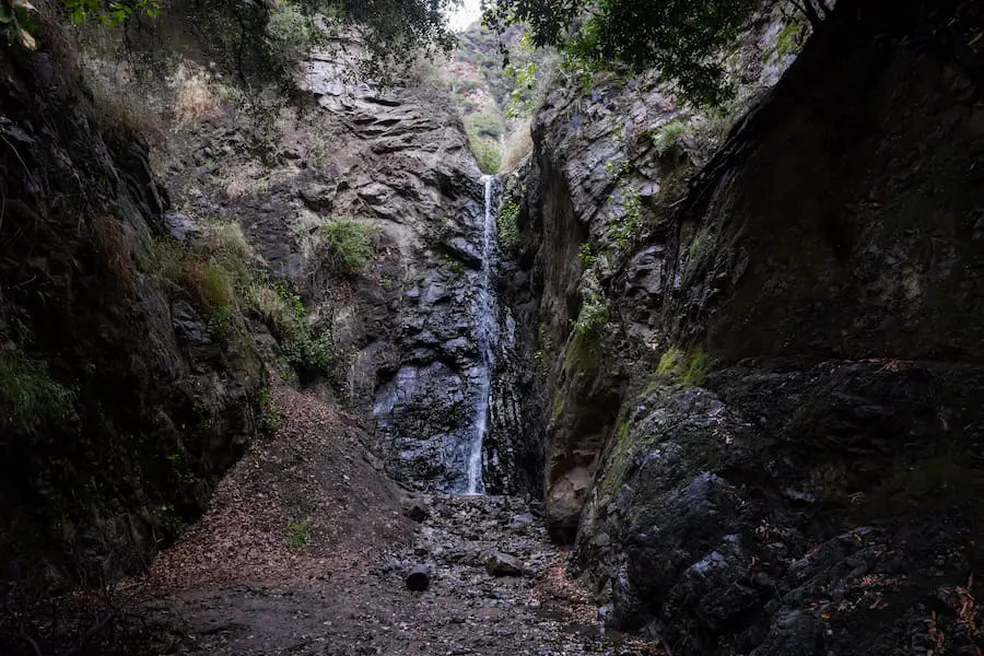
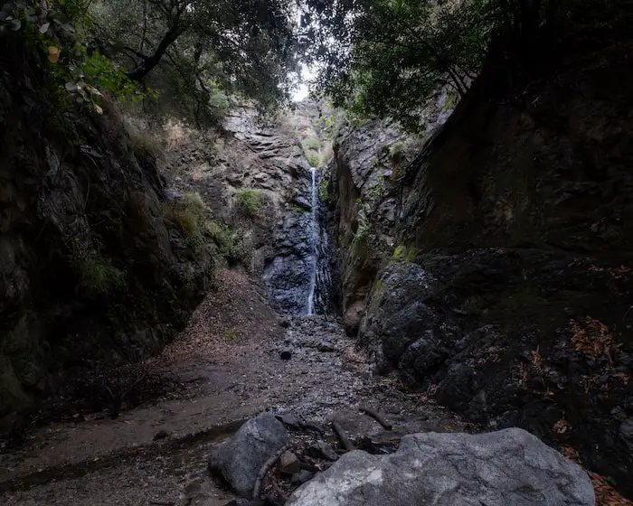
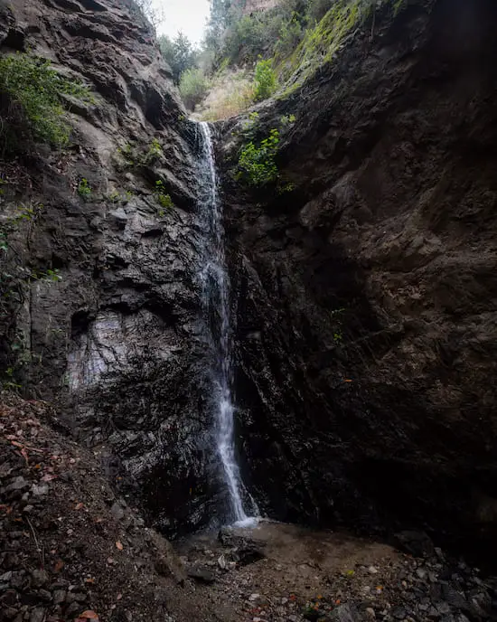
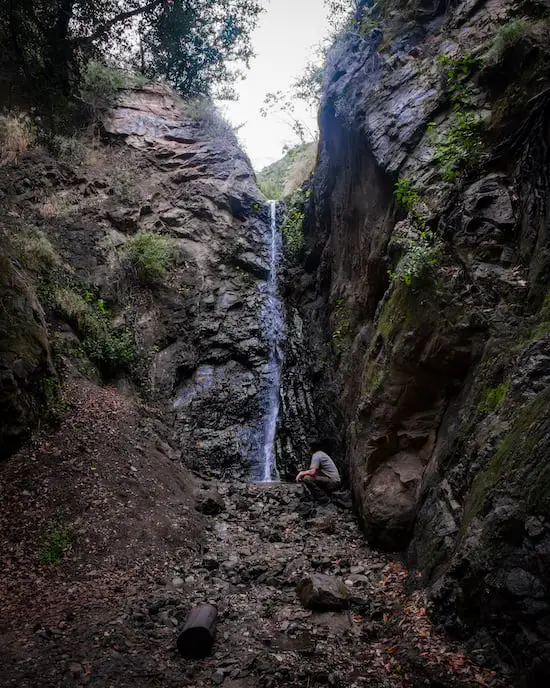
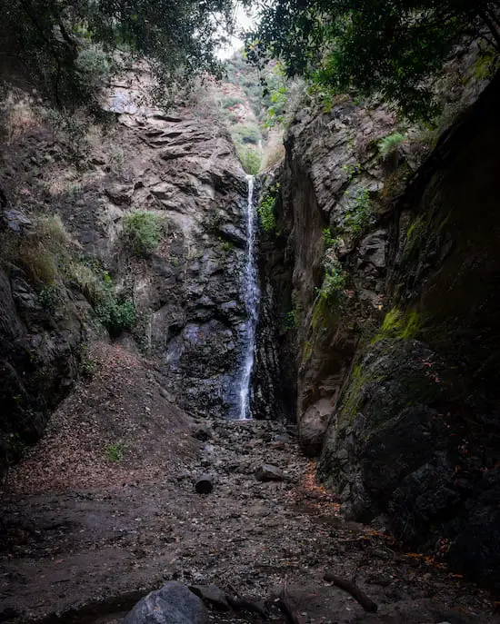
The waterfall came into view.
I was so grateful to see Holy Jim Falls flowing, as it’s quite rare.
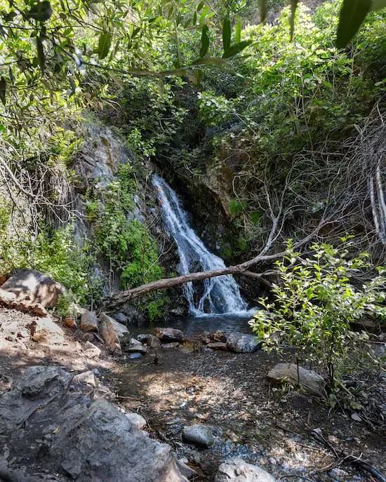
The falls is pretty small compared to most other waterfalls, but definitely still worth a visit.
I visited the falls twice. Once on a Sunday, and the other during the week.
I had the place to myself during the week, but that was far from the case when I visited on Sunday. Be prepared for small crowds during weekends.
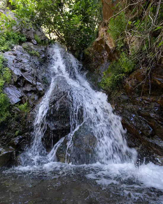
I loved how there was so much greenery surrounding the falls. You can never have too much vegetation.
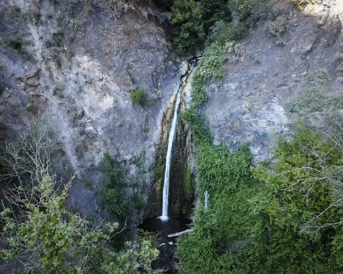
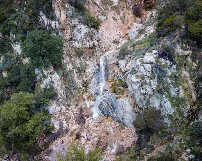
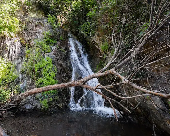
If you follow my journey throughout our SoCal mountains, you know I always fly the drone when I get to the falls.
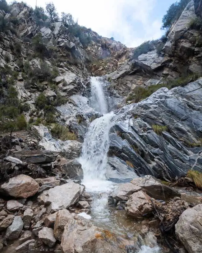
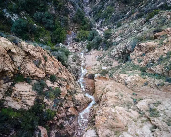
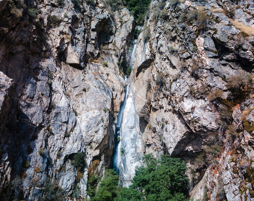
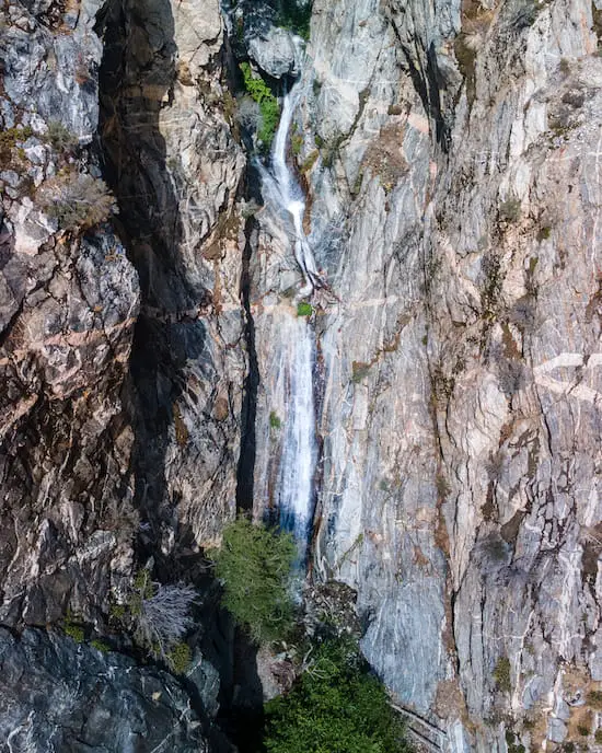
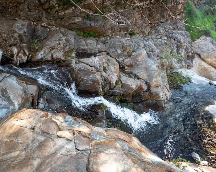
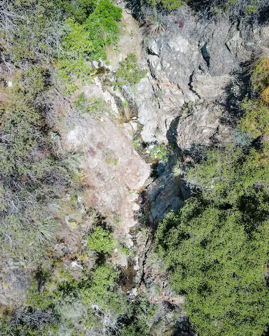
To my very pleasant surprise, I found an even larger flowing waterfall further up the creek.
I believe this waterfall may be what I’ve seen referred to as Upper Holy Jim Falls. I haven’t figured out exactly how to get to it, but that’s going to be an adventure for another day.
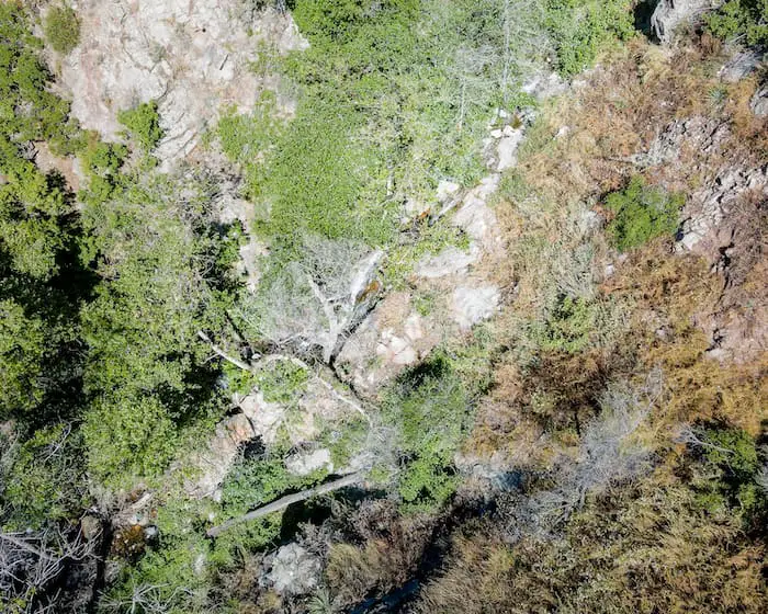
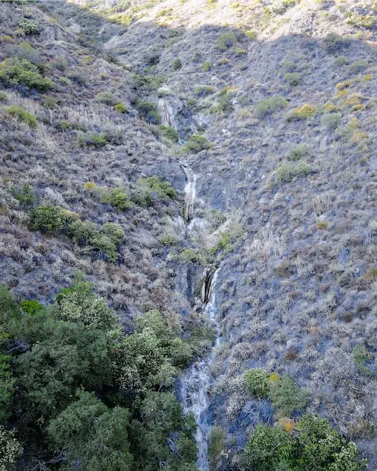
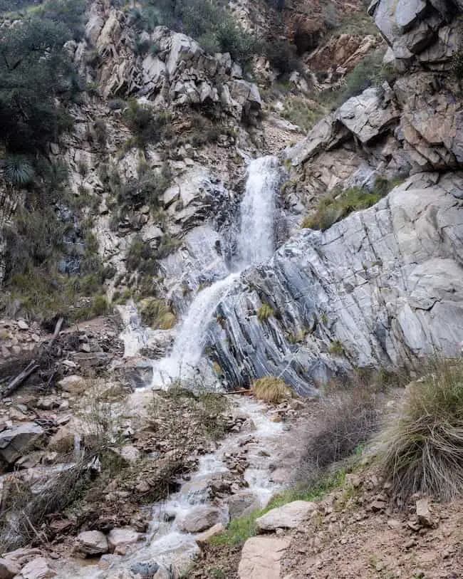
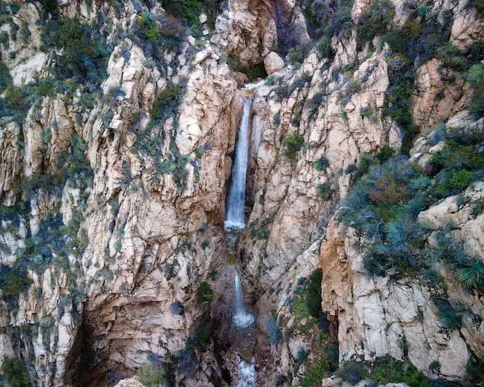
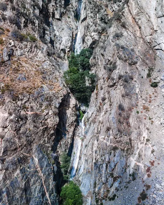
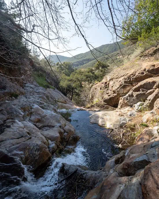
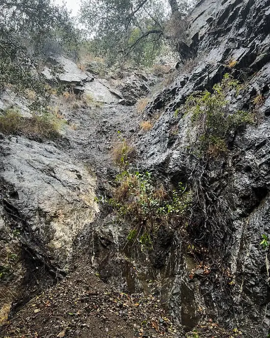
But wait, there’s more! I flew the drone over a nearby tributary, and found yet another large waterfall.
This one was much more dry as it was located in a different creek, but, at one point earlier in the year, it must have been flowing just as nicely as Holy Jim Falls.
The adventure doesn’t have to come to an end. Click the following link to be redirected to the three best hikes in Laguna Beach.
FAQ
Is Holy Jim Falls Open?
This trail is now open to the public, at least as of June 2023 when I personally hiked to the falls.
How Long Does It Take To Get To Holly Jim Falls?
It takes about 45 minutes to 1 hour to get to the waterfall.
How High Is Holy Jim Falls?
Holy Jim Falls is roughly 20 feet high, give or take 5 feet.